 placenames
Ballykeeran
Bealach Caorthainn
Ballykeeran’s history is closely tied to the Breensford River crossing and its former mills. Surviving vernacular buildings and a documented Civil War attack add other dimensions to the landscape near Athlone and Lough Ree.
The name
These Irish name elements are associated with this record in the Logainm glossary.
An element’s translation is a clue, rather than a complete explanation of the name. Its form and meaning depend on local history and the full Irish name.
Recorded forms
- Bealach Caorthainn · Irish · main form · validated name
- Ballykeeran · English · main form
Place & story
The crossing and the mills
Tubberclare’s community development plan traces Ballykeeran’s development to milling and to a crossing of the Breensford River. The river marked the division between Kilkenny West and Brawny. Two mills were operating by 1837, and one substantial mill associated with Conor Duffy continued into the twentieth century. Most of the mill buildings were demolished in the mid-1990s. The account places the settlement within a working river landscape, where a crossing point and water power helped bring activity together. [2]
Francis Stapleton’s account of 1923
On 2 April 1923, National Army sergeant Francis Stapleton was abducted while travelling from Ballykeeran towards Athlone. Westmeath County Council’s historical research follows his account through contemporary newspapers and later compensation proceedings. His captors held him at the mill and burned his family’s home before he escaped. They accused him of involvement in executions at Athlone, but the research does not establish that he had taken part. His family subsequently moved to Athlone. The case connects Ballykeeran’s mill landscape with the fear and displacement of the Civil War. [3]
A thatched house on Bullet Road
South of the village, the architectural inventory records a thatched house on Bullet Road dating approximately to 1820. Whitewashed stone walls, timber sash windows and a decorated thatched ridge preserve the character of an older rural dwelling. Two central chimneys rise above the roof, and a whitewashed boundary wall continues the enclosure along the road. Together with another thatched house nearby, it preserves a form of domestic building once common across the countryside and now much less frequently encountered. [4]
Geographic information
- Place type
- Population centre
- County
- Westmeath
- Barony
- Brawny
- Civil parish
- Saint Mary's
- Within
- Ballykeeran
- Coordinates
- 53.44602, -7.87958 (approximate)
- Logainm ID
- 1413755 ↗
Sources & further reading
- Logainm.ie — Ballykeeran. Place names and geographic record, licensed under CC BY 4.0.
- Draft Tubberclare Community Development Plan: Ballykeeran history, page 30 · Tubberclare Local Action Group
- A Settling of Scores, reviewed 1 November 2023 · Westmeath County Council
- Bullet Road house, NIAH 15402920 · National Inventory of Architectural Heritage
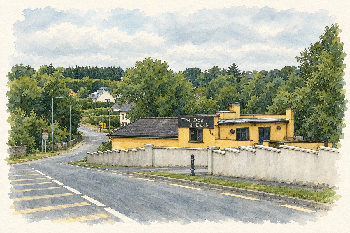
- Dog and Duck public house, Ballykeeran, 2013 illustration: based on a The Dog and Duck at Ballykeeran by Eric Jones. AI-assisted watercolour and ink adaptation; cream paper margins added, incidental clutter omitted and fine details simplified. Licence: CC BY-SA 2.0.
Name record retrieved 2026-10-25 · Source record modified 2025-01-10. How this page was prepared.