 placenames
Finnea
Fiodh an Átha
Finnea’s bridge preserves successive phases of engineering, while its monument and later meetings show how local memory entered public life.
The name
These Irish name elements are associated with this record in the Logainm glossary.
An element’s translation is a clue, rather than a complete explanation of the name. Its form and meaning depend on local history and the full Irish name.
Recorded forms
- Fiodh an Átha · Irish · main form · validated name
- Finnea · English · main form
- Finea · English · main form · local name
Place & story
Reworking an old crossing
Finnea Bridge carries the road across the Inny between Lough Sheelin and Lough Kinale. Its older end sections have small stone arches; in 1877 three central arches were replaced by a single larger opening. A plaque records those works, undertaken through the Upper Inny Drainage Board. The architectural survey identifies traces of wicker centering and surviving construction corbels among the evidence for the bridge’s early fabric. [2]
Commemorating Myles O’Reilly
A limestone Celtic-cross monument to Myles “the Slasher” O’Reilly stands outside the former market house, facing towards the bridge. The inventory dates it to around 1913 and attributes the carving to Farrell and Son of Dublin. Its strapwork and decorative iron enclosure made commemoration a prominent feature of the village street. [3]
Meetings remembered by James Flood
In his 1951 Bureau of Military History statement, James P. Flood recalled organising Myles the Slasher meetings at Finea before 1913. Speakers brought from Dublin included P. T. Daly and Walter Cole. Flood described these gatherings as part of efforts to build support for Sinn Féin, showing the commemorated figure’s later role in political organising. [4]
Geographic information
Sources & further reading
- Logainm.ie — Finnea. Place names and geographic record, licensed under CC BY 4.0.
- Finnea Bridge, record 15301001 · National Inventory of Architectural Heritage
- Myles O’Reilly Monument, record 15301006 · National Inventory of Architectural Heritage
- James P. Flood, Bureau of Military History witness statement 606, 6 November 1951, p.1 · James P. Flood; Bureau of Military History
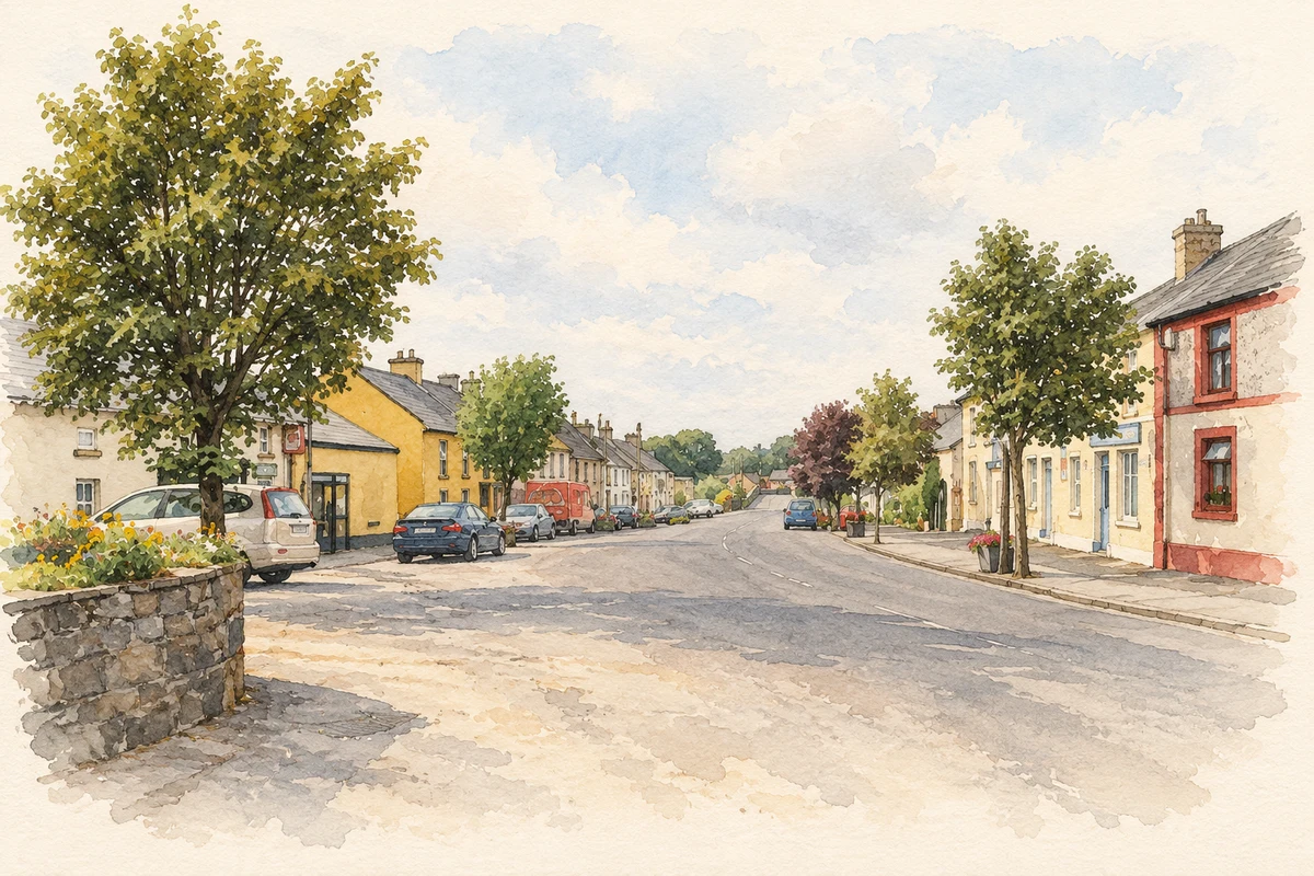
- Finnea village street, as photographed in 2006 illustration: based on a Finea, County Westmeath by Sarah777. AI-assisted watercolour and ink adaptation; cream paper margins added, incidental clutter omitted and fine details simplified. Licence: CC BY-SA 2.0.
Name record retrieved 2026-10-25 · Source record modified 2025-01-10. How this page was prepared.