These Irish name elements are associated with this record in the Logainm glossary.
An element’s translation is a clue, rather than a complete explanation of the name. Its form and meaning depend on local history and the full Irish name.
Recorded forms
Baile Briotáis· Irish · main form · validated name
Ballybrittas· English · main form
Place & story
A post-town on the Dublin road
Samuel Lewis counted about thirty houses and 168 inhabitants in Ballybrittas in 1837. Situated on the main Dublin–Maryborough road, it combined the functions of post-town, fair venue and local administrative centre. Its fairs fell on 25 March, 12 May and 15 August; petty sessions met fortnightly, and a constabulary station stood in the village. Lewis’s description places these everyday services alongside the country houses of the surrounding district.[2]
Folklore & tradition
The story of the plumes
Lewis also recorded the story that gave the Pass of Plumes its memorable name. In his account, Irish forces led by O’Dempsey and O’Moore defeated part of the Earl of Essex’s army during Elizabeth I’s reign, then cut the tall plumes from the defeated soldiers’ headwear. The anecdote belongs to the remembered history attached to Ballybrittas; it does not by itself locate an exact battlefield within the modern village.[2]
Ashfield’s curved lodge
The architectural inventory records Ashfield House in Ballybrittas as a former gate lodge dating to about 1850. It is a single-storey building with a dormer attic, arranged on an unusual curved plan and entered through a projecting gabled porch. Its modest scale distinguishes it from the principal estate houses mentioned in older descriptions, while preserving a physical trace of the entrances and smaller buildings that served those properties.[3]
An agricultural society in the records
Offaly Archives holds a file for Ballybrittas Agricultural Society covering 1963–68 among the Williams Group business records. The catalogue identifies broiler distribution and lists correspondence, accounts, balance sheets and meeting minutes, including reports by D. J. Williams. This surviving record group documents an organised poultry-trade connection in the village’s twentieth-century economy, alongside the livestock-fair world described by Lewis more than a century earlier.[4]
Both counts use the 2016 settlement boundary, allowing like-for-like comparison. CSO supplies the 2022 count on this older boundary for comparison only. The official 2022 Built Up Area has different boundaries.
View population figures
Ballybrittas — Census 2016 settlement footprint — census population
These figures use different area definitions. Read the boundary note before comparing them.
Ballybrittas, Laois
Published census settlement populations
388people · 2016
Settlement boundaries changed during this period. Differences may reflect boundary changes as well as population change. Where a 2011 legal-town-and-environs count is shown, it has not been recalculated onto the 2016 settlement boundary.
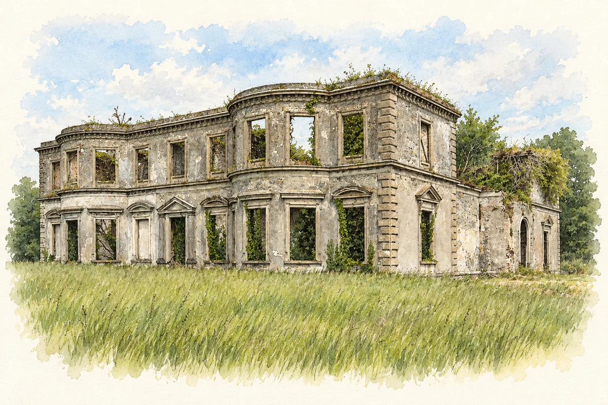
Bellegrove House remains, near Ballybrittas illustration: based on a Bellegrove House, Ballybrittas, Laois (1) by Mike Searle. AI-assisted watercolour and ink adaptation; cream paper margins added, incidental clutter omitted and fine details simplified. Licence: CC BY-SA 2.0.
 placenames