 placenames
Ballycarney
Baile Uí Chearnaigh
The bridge and church at Ballycarney preserve the engineering and parish history of a small settlement on the River Slaney.
The name
These Irish name elements are associated with this record in the Logainm glossary.
An element’s translation is a clue, rather than a complete explanation of the name. Its form and meaning depend on local history and the full Irish name.
Recorded forms
- Baile Uí Chearnaigh · Irish · main form · validated name
- Ballycarney · English · main form
Place & story
Eight arches across the Slaney
Ballycarney Bridge dates from 1780 and carries the road across the Slaney on eight arches. Its piers project into triangular cutwaters that rise to form pedestrian refuges beside the roadway. Local rubble stone contrasts with the granite used around the arches, while schist appears in the parapet coping and arch detailing. The National Inventory of Architectural Heritage records damage in 1923, adding a later episode of disruption to the history of this eighteenth-century crossing. [2]
The church overlooking the river
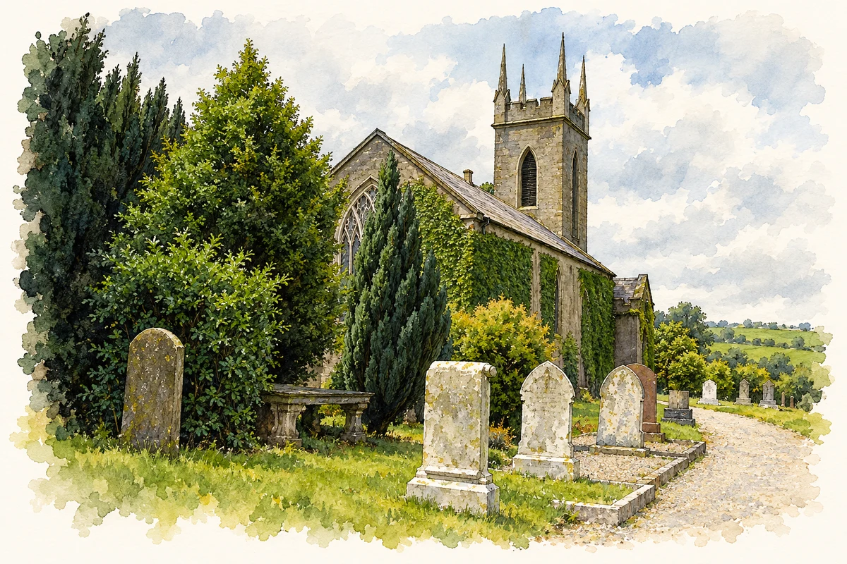
The Church of Ireland building beside the crossing was erected in 1834 with support from the Board of First Fruits. Its west tower, battlements and slender pinnacles give it a distinctive silhouette above the river. Inside, timber box pews, an octagonal pulpit and an exposed timber roof preserve much of its nineteenth-century character. The altar dates from 1924, while marble wall monuments record members of the community across a much longer period. [3]
A new parish and a roadside village
Samuel Lewis’s account of 1837 describes Ballycarney as a recently formed district parish, assembled from parts of Ferns, Templeshambo and Monart. He placed the village on the Slaney’s eastern bank, along the road between Enniscorthy and Newtownbarry, now Bunclody. A penny post operated from Ferns, and a constabulary station served the village. Together with the new church and stone bridge, these services show a small settlement acting as a local point of communication and administration. [4]
Geographic information
- Place type
- Population centre
- County
- Wexford
- Barony
- Scarawalsh
- Civil parish
- Ballycarney
- Within
- Ballycarney
- Coordinates
- 52.58371, -6.56875 (approximate)
- Logainm ID
- 1413867 ↗
Sources & further reading
- Logainm.ie — Ballycarney. Place names and geographic record, licensed under CC BY 4.0.
- Ballycarney Bridge, architectural inventory 15701509 · National Inventory of Architectural Heritage
- Ballycarney Church, architectural inventory 15701510 · National Inventory of Architectural Heritage
- Ballycarney, A Topographical Dictionary of Ireland, 1837 · Samuel Lewis; transcription hosted by A Vision of Britain through Time
- All Saints Church, Ballycarney, County Wexford illustration: based on a All Saints Church, Ballycarney by liam murphy. AI-assisted watercolour and ink adaptation; cream paper margins added, incidental clutter omitted and fine details simplified. Licence: CC BY-SA 2.0.
Name record retrieved 2026-10-25 · Source record modified 2025-01-10. How this page was prepared.