 placenames
Bannow
Banú
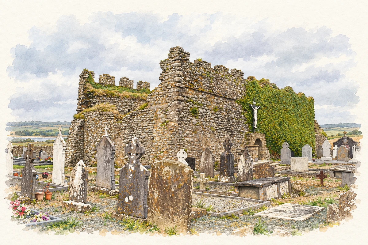
Bannow’s surviving medieval church marks the site of a former port whose history can be traced through surveys, street descriptions and the changing harbour.
The name
A reliable full-name meaning has not been established here. The recorded Irish and English forms are given without an unsupported translation.
Recorded forms
- Banú · Irish · main form
- Bannow · English · main form
Place & story
A port beside the Norman landing place
Robert FitzStephen's forces landed at Bannow Island in 1169 and were joined by men under Maurice de Prendergast and by Diarmait Mac Murchada's Irish forces before advancing on Wexford. A substantial town subsequently developed beside the sheltered harbour. Ian Magahy's study points to medieval references to Bannow's burgesses and privileges as evidence of its importance, placing the settlement within the network of towns established after the conquest. [2]
Reconstructing a vanished street plan
Bannow declined as its harbour channel silted up and trade moved elsewhere. Magahy reconstructed its layout from seventeenth-century property surveys and nineteenth-century descriptions, rather than a surviving medieval town map. His work identifies streets, burgage plots and a quay around Saint Mary's Church. It also challenges accounts of a town suddenly swallowed by the sea: the documentary evidence instead describes a settlement already reduced to a small remnant by the seventeenth century. [2]
Saint Mary’s and its conservation
The roofless Saint Mary's Church preserves the nave and chancel of a thirteenth-century building within a graveyard on the headland. Carved stonework survives inside, making the church the most visible architectural reminder of the former town. Conservation continued in 2019, when Catherine McLoughlin monitored repairs to the gable wall between nave and chancel and recorded the masonry, adding a documented intervention to the building's long history. [3] [4]
Geographic information
Sources & further reading
- Logainm.ie — Bannow. Place names and geographic record, licensed under CC BY 4.0.
- Rebuilding Bannow:Mapping the Abandoned Town of Bannow · Ian Magahy,Bannow Historical Society
- Saint Mary’s Church,Bannow · Screen Wexford,Wexford Film Office
- 2019:294,Bannow:Saint Mary’s Church · Catherine McLoughlin,Excavations.ie
- Surviving Saint Mary's medieval church and graveyard, Bannow illustration: based on a Bannow St. Mary's Church SW 2012 10 02 by Andreas F. Borchert. AI-assisted watercolour and ink adaptation; cream paper margins added, incidental clutter omitted and fine details simplified. Licence: CC BY-SA 4.0.

Name record retrieved 2026-10-25 · Source record modified 2026-09-19. How this page was prepared.