Bree's village church preserves an early Pugin design, while the neighbouring Wilton estate records several centuries of changes in local landownership.
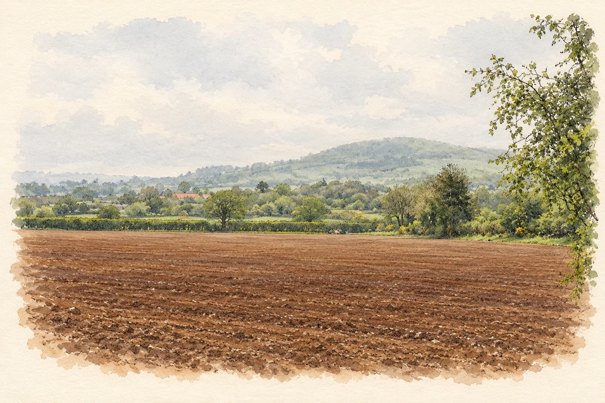
Illustration, Bree Hill and the countryside west of Bree
⊕Recorded locationBree52.43577° N · 6.60828° WInteractive map supplied by OpenStreetMap.
A reliable full-name meaning has not been established here. The recorded Irish and English forms are given without an unsupported translation.
Recorded forms
Brí· Irish · main form · validated name
Bree· English · main form
Place & story
An early Pugin church
Bree's Church of the Assumption was built in 1838–39 and opened in 1839. A contemporary Catholic directory credited John Hyacinth Talbot with obtaining its design from Augustus Welby Northmore Pugin. The building has a long rectangular nave leading into a half-octagonal apse, pointed windows and a bellcote above the entrance. Its interior includes stained glass by Franz Mayer and Company and memorials to parish priests Philip Devereux and John Scallan. The sanctuary was reordered in 1975.[2]
From an old chapel to a village school
The national school's history records that Bree's first school occupied the old church down Bree Lane. A partition divided it into two rooms, and James Kirwan was its first teacher. A new school opened in 1953, when Jonathan Moriarty was principal; it had three teachers and 120 children. Increasing enrolment led to a four-classroom extension in 1991. Further classrooms were added in 2014 and 2016, continuing the village's long use of buildings adapted to changing educational needs.[3]
Kayer becomes Wilton
The nearby Wilton estate was formerly known as Kayer. The Civil Survey, describing ownership before the mid-seventeenth-century wars, recorded Pierce Butler's castle, houses, watermill and rabbit warren within an estate exceeding 7,000 acres. After the Cromwellian confiscations it passed to Captain Robert Thornhill. William Alcock bought the property in 1695, renamed it Wilton and built a new mansion. In 1836–38 Harry Alcock commissioned architect Daniel Robertson to remodel the house. Much of the surviving castle fabric belongs to that rebuilding; the house was burned in March 1923.[4]
Both counts use the 2016 settlement boundary, allowing like-for-like comparison. CSO supplies the 2022 count on this older boundary for comparison only. The official 2022 Built Up Area has different boundaries.
View population figures
Bree — Census 2016 settlement footprint — census population
These figures use different area definitions. Read the boundary note before comparing them.
Bree, Wexford
Published census settlement populations
193people · 2016
Settlement boundaries changed during this period. Differences may reflect boundary changes as well as population change. Where a 2011 legal-town-and-environs count is shown, it has not been recalculated onto the 2016 settlement boundary.
 placenames