These Irish name elements are associated with this record in the Logainm glossary.
An element’s translation is a clue, rather than a complete explanation of the name. Its form and meaning depend on local history and the full Irish name.
Recorded forms
Cill Liúráin· Irish · main form · validated name
Killurin· English · main form
Place & story
River settlement and estate landscape
In 1837 Samuel Lewis placed the fishing village of Cornwall within Killurin parish, beside the Slaney. He also listed Killurin House, formerly occupied by the Devereux family, and the neighbouring seats of Healthfield and Penzance. His description brings the river settlement and its estate landscape into the same small parish. The fishing community was therefore already part of the locality before the railway arrived later in the century.[2]
Church and parish school
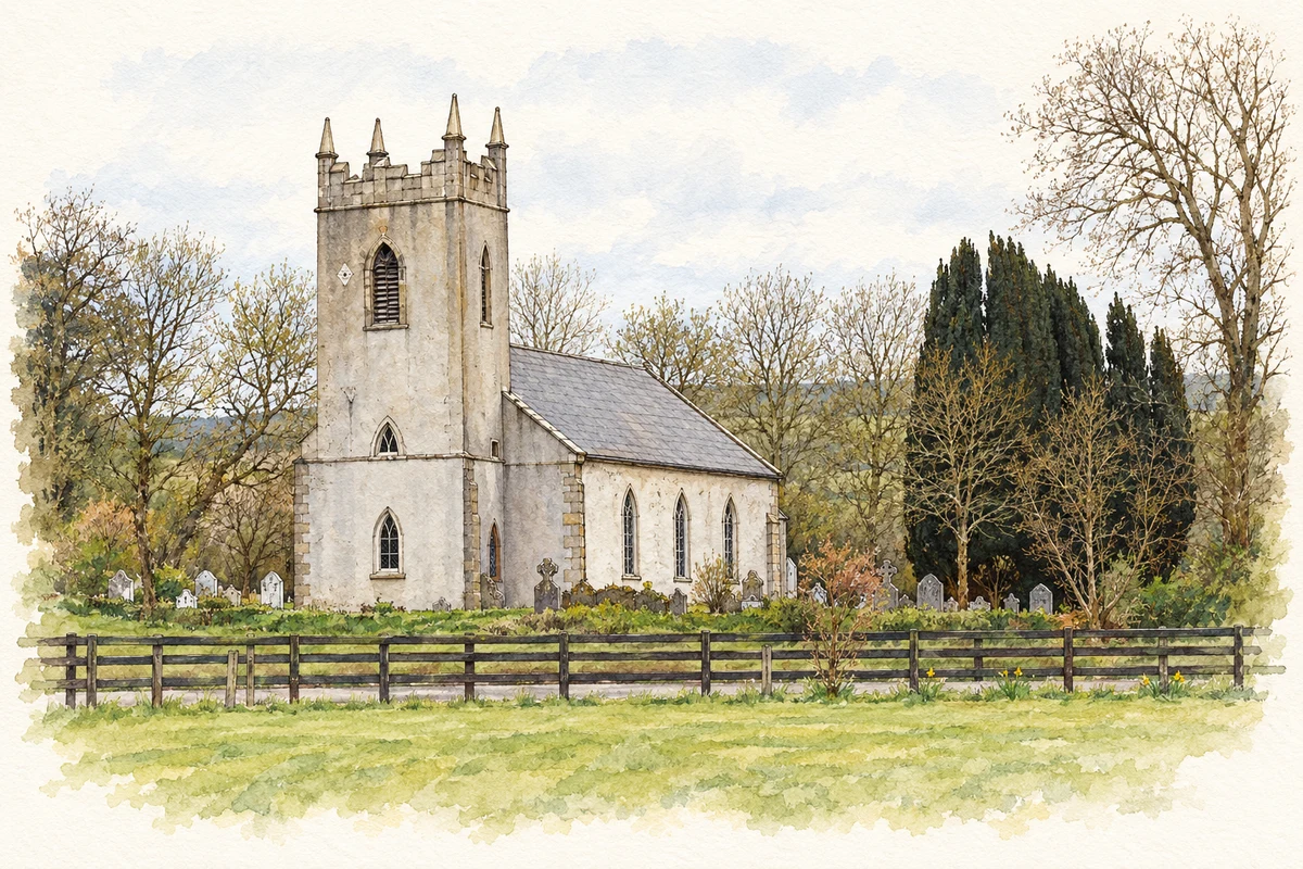
Samuel Lewis dated the Church of Ireland church to 1785 and recorded that its painted window had been destroyed during the rebellion of 1798. His 1837 account also describes a parochial school erected in 1829, with accommodation for its master. The vicar supplied land and an annual contribution, and about eighty children attended. The church and school thus appear together as institutions shaped by local patronage, while the damaged window records the effects of political conflict on the building.[2]
The station at Cornwall
Killurin station opened in 1872 with the extension of the Dublin, Wicklow and Wexford Railway. Built in red brick with granite dressings, the two-storey station combines railway accommodation with a domestic scale. William Wardropp of Dublin erected it. The heritage record identifies John Murphy as stationmaster in 1901 and James McSweeney in 1911. Although the station closed in 1964 and the building acquired another use, its masonry and position retain a clear connection with the line.[3]
Both counts use the 2016 settlement boundary, allowing like-for-like comparison. CSO supplies the 2022 count on this older boundary for comparison only. The official 2022 Built Up Area has different boundaries.
View population figures
Killurin — Census 2016 settlement footprint — census population
These figures use different area definitions. Read the boundary note before comparing them.
Killurin, Wexford
Published census settlement populations
166people · 2016
Settlement boundaries changed during this period. Differences may reflect boundary changes as well as population change. Where a 2011 legal-town-and-environs count is shown, it has not been recalculated onto the 2016 settlement boundary.
Killurin Church of Ireland, County Wexford illustration: based on a Killurin Church, Wexford by David Hawgood. AI-assisted watercolour and ink adaptation; cream paper margins added, incidental clutter omitted and fine details simplified. Licence: CC BY-SA 2.0.
 placenames