 placenames
Corry
An Choraidh
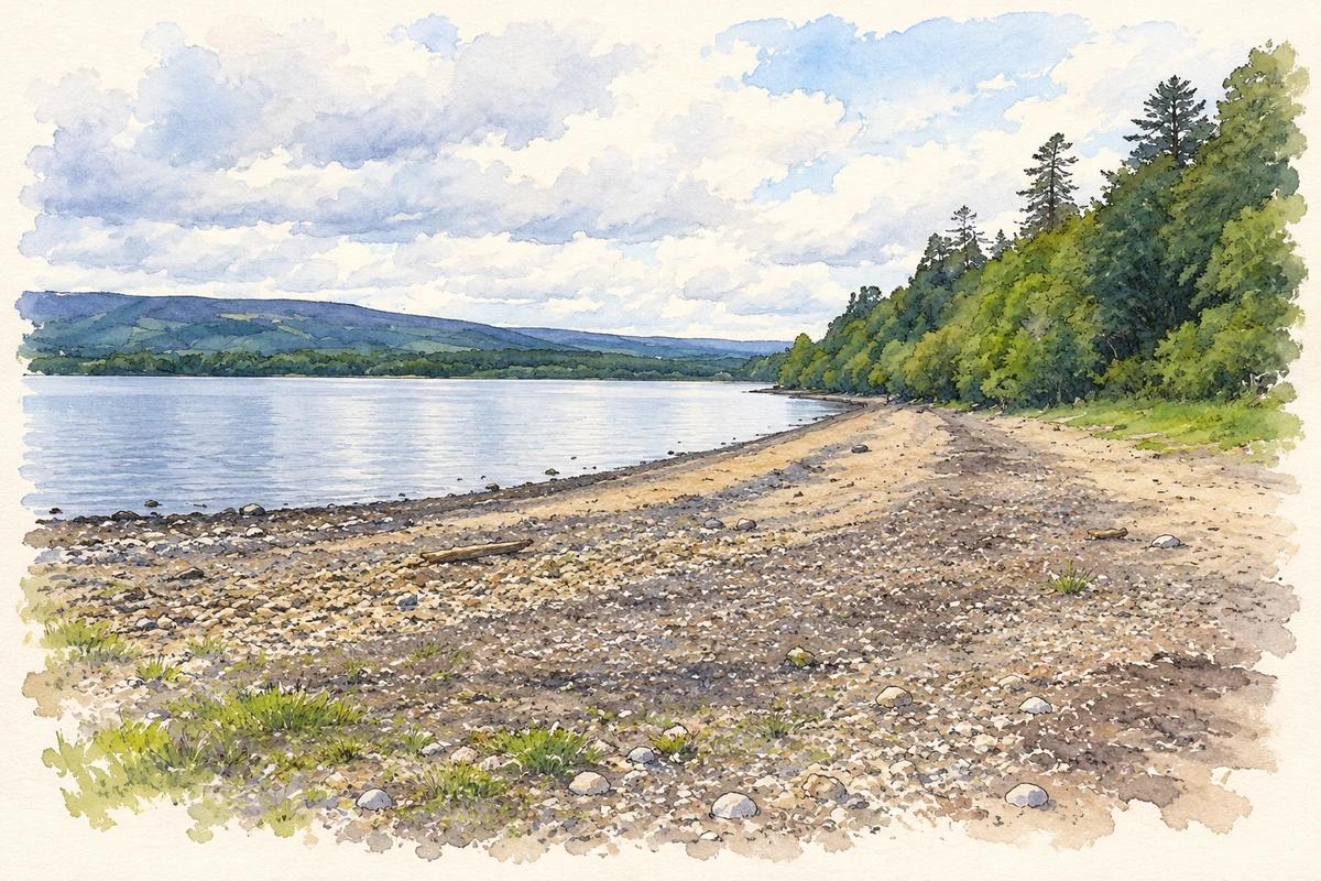
Corry’s position on the northern shore of Lough Allen connects its history with local lordship, market journeys by boat and the memory of a nineteenth-century disaster.
The name
These Irish name elements are associated with this record in the Logainm glossary.
An element’s translation is a clue, rather than a complete explanation of the name. Its form and meaning depend on local history and the full Irish name.
Recorded forms
- An Choraidh · Irish · main form · validated name
- Corry · English · main form
Place & story
The Mac Conshnamha family at Corry
The Inishmagrath local-history account connects Corry with the Mac Conshnamha family, whose name was later rendered as Forde. They had long held authority in Muintir Chionaith, and Corry became one of their residences. The same account records attacks on the Forde residence by Sir Frederick Hamilton in 1642, placing the lakeshore stronghold within the violent struggles of seventeenth-century Leitrim. [2]
A market journey ending in disaster
People from the northern shores of Lough Allen travelled by boat to Drumshanbo's weekly market, carrying produce to sell and returning with provisions. In 1831, a boat returning towards Corry after such a journey capsized during stormy weather. Fourteen people died, remembered in local accounts as four men and ten women. The disaster became an enduring part of the district's historical memory. [3]
The burial at Kilbride
Accounts of the disaster place the victims' communal burial at Kilbride Cemetery, on the northern side of Lough Allen. Peadar Clancy's parish history described a stone over the grave bearing their names. When Maura Kelly revisited the story for the Leitrim Observer in 1992, however, she reported finding no such inscribed stone. The distinction preserves the recorded commemoration without promising a surviving marker. [4]
Geographic information
- Place type
- Population centre
- County
- Leitrim
- Barony
- Drumahaire
- Civil parish
- Inishmagrath
- Within
- Corry
- Coordinates
- 54.16489, -8.07656 (approximate)
- Logainm ID
- 1413910 ↗
Sources & further reading
- Logainm.ie — Corry. Place names and geographic record, licensed under CC BY 4.0.
- Prominent Local Families · Inishmagrath Local History
- Tragedy on Lough Allen1831 · Inishmagrath Local History
- Remembering the Lough Allen tragedy of1831,1992article republished24April2019 · Maura Kelly,Leitrim Observer
- Corry Strand, Lough Allen illustration: based on a Corry Strand, Lough Allen by Kenneth Allen. AI-assisted watercolour and ink adaptation; cream paper margins added, incidental clutter omitted and fine details simplified. Licence: CC BY-SA 2.0.
Name record retrieved 2026-10-25 · Source record modified 2025-01-10. How this page was prepared.