A reliable full-name meaning has not been established here. The recorded Irish and English forms are given without an unsupported translation.
Recorded forms
Maigh Cuilinn· Irish · main form · validated name
Moycullen· English · main form
Place & story
Four townlands at the crossroads
Modern Moycullen developed where Ballyquirke, Killarainey, Kylebroughlan and Gortyloughlin meet. The older settlement lay around the castle in the area now called Homefarm. In the nineteenth century the barracks and houses connected with its officers helped the crossroads village expand. A public house also served as a Bianconi coaching stop on the Galway–Clifden route. The surviving circular stone pound beside the former fair green recalls the keeping of impounded livestock within the settlement.[2]
People & connections
Roderick O'Flaherty's chronology
Historian Roderick O'Flaherty was born at Moycullen in 1629, son of the owner of its castle and manor. His father's death left him a royal ward before his second birthday. Cromwellian confiscations subsequently deprived him of most of the family estate, and he lived at Park between Furbo and Spiddal. His Latin history, Ogygia, appeared in 1685. Using Irish annals and manuscripts, he worked to align Irish events with wider chronologies; his calculation of the date of Clontarf was more accurate than several earlier historians'.[3]
The Homefarm graveyard
The historical society's Homefarm walk links the castle site with An Sean Reilig, about three hundred metres to its east. The graveyard contains the remains of a medieval church, carved occupational memorials and O'Flaherty family stones bearing the family crest. Moycullen Lodge later occupied the castle site, where little of the earlier building survives. Together the two locations preserve traces of the old community beside the castle, some distance from the village's present centre.[4]
Both counts use the 2016 settlement boundary, allowing like-for-like comparison. CSO supplies the 2022 count on this older boundary for comparison only. The official 2022 Built Up Area has different boundaries.
View population figures
Maigh Cuilinn — Census 2016 settlement footprint — census population
Maigh Cuilinn, Galway — Census town, CSO 2006 report
2002–2006: census town
1,237people · 2006
These are the historical areas published in the 2006 census report. Boundaries may differ between censuses and from modern settlements. Legal towns, environs and suburbs are shown separately; none has been combined into a modern settlement total.
View population figures
Maigh Cuilinn, Galway — Census town, CSO 2006 report — census population
Maigh Cuilinn, Galway — Census town, CSO 1996 report
1991–1996: census town
601people · 1996
These are the historical areas published in the 1996 census report. Boundaries may differ between censuses and from modern settlements. Legal towns, environs and suburbs are shown separately; none has been combined into a modern settlement total.
View population figures
Maigh Cuilinn, Galway — Census town, CSO 1996 report — census population
Figures cover the historical town area printed in the 1986 report. Boundaries may have changed between censuses. Legal town, environs and suburb totals remain separate and differ from modern settlement boundaries.
View population figures
Moycullen, Galway — Census town, CSO 1986 report — census population
These figures use different area definitions. Read the boundary note before comparing them.
Maigh Cuilinn, Galway
Published census settlement populations
1,704people · 2016
Settlement boundaries changed during this period. Differences may reflect boundary changes as well as population change. Where a 2011 legal-town-and-environs count is shown, it has not been recalculated onto the 2016 settlement boundary.
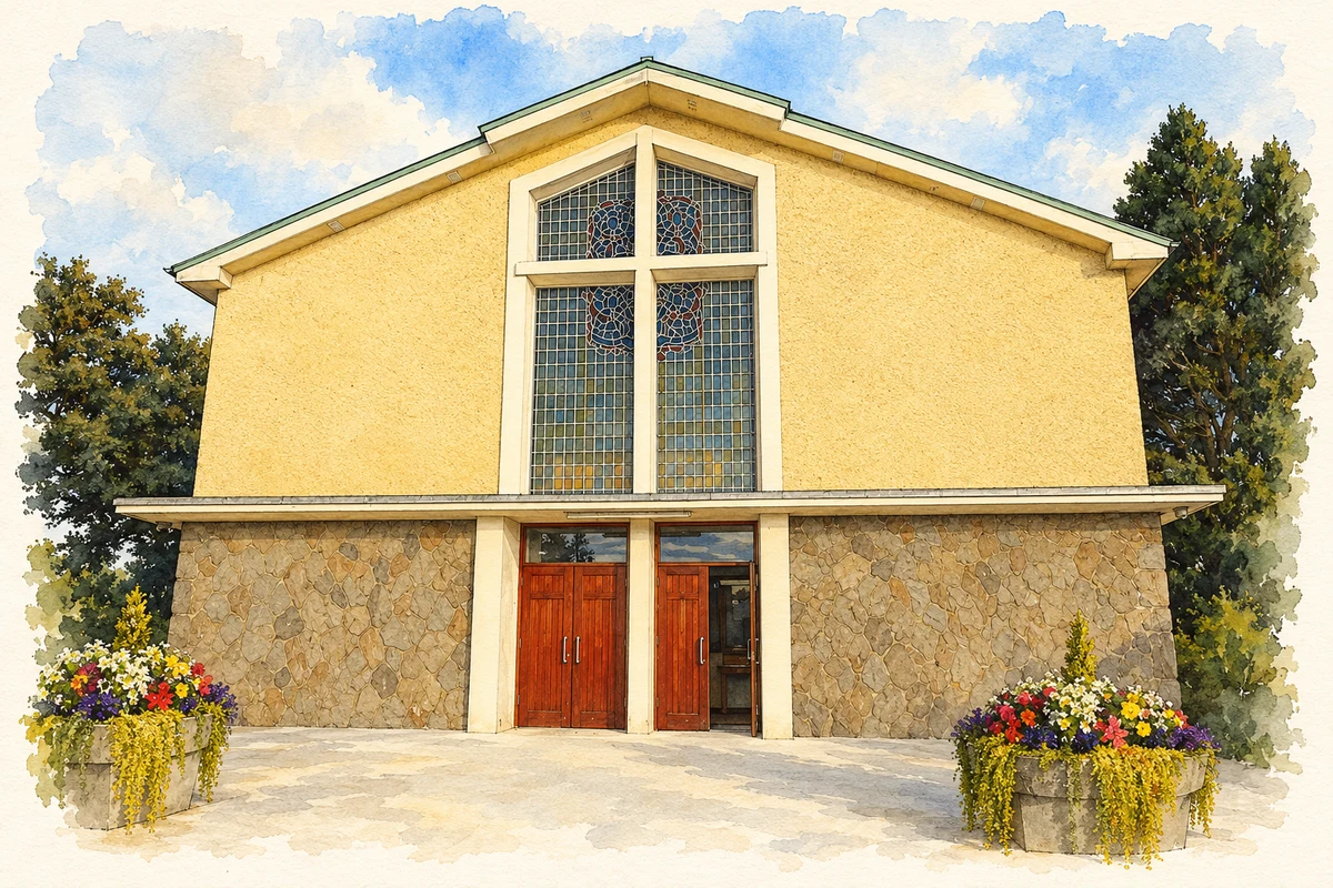
Church of the Immaculate Conception entrance, Moycullen illustration: based on a Moycullen - Church of the Immaculate Conception - 20180903182031 by Newbert12. AI-assisted watercolour and ink adaptation; cream paper margins added, incidental clutter omitted and fine details simplified. Licence: CC BY-SA 4.0.
 placenames