These Irish name elements are associated with this record in the Logainm glossary.
An element’s translation is a clue, rather than a complete explanation of the name. Its form and meaning depend on local history and the full Irish name.
Recorded forms
An Ghráig· Irish · main form · validated name
Woodford· English · main form
Place & story
Ironworks remembered in 1837
Samuel Lewis’s 1837 account recalled an extensive iron foundry operating at Woodford roughly sixty years earlier, followed by salt manufacture. He reported deep deposits of cinders still visible beside the town, physical evidence of that earlier industry. A corn mill continued in operation, and four annual fairs supported the surrounding agricultural district. Engineers had proposed improving access to Rossmore Bridge and providing facilities for shipping produce. Lewis recorded those works as proposals, rather than completed improvements to the river’s navigation.[2]
The weir and the town’s lights
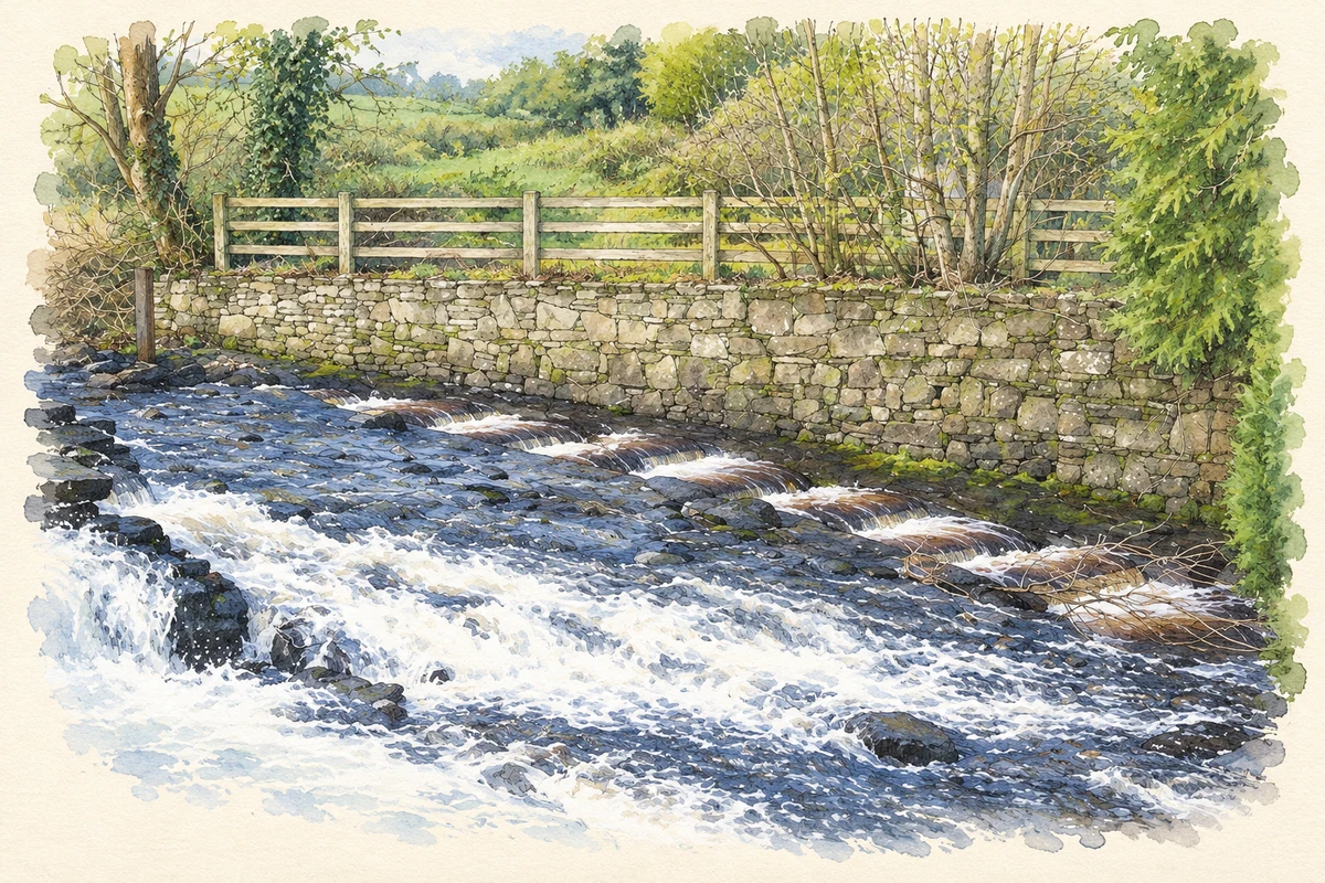
A rubble-stone weir, built about 1800, crosses the Woodford River diagonally. It created the dammed water known as Woodford Bay and supplied power to a corn mill. The architectural inventory records a further use: generating electricity for street lighting before the arrival of the rural electrification scheme. A sluice survives at one end, and restoration took place around 1980. The weir links the town’s milling economy with an early local electricity supply, using the same controlled flow of water for changing purposes.[3]
People & connections
John Roche of Woodford
John Roche was born in Woodford in 1848 and inherited his family’s mill and farm in 1874. He founded the Woodford Tenants’ Defence Association in November 1885, campaigning for reduced rents. The following year Woodford became a prominent centre of resistance to evictions, and John Dillon and William O’Brien announced the Plan of Campaign at a local rally. Roche subsequently represented Galway East at Westminster, first elected in 1890. He died at his Woodford home in August 1914.[4]
Both counts use the 2016 settlement boundary, allowing like-for-like comparison. CSO supplies the 2022 count on this older boundary for comparison only. The official 2022 Built Up Area has different boundaries.
View population figures
Woodford — Census 2016 settlement footprint — census population
These are the historical areas published in the 2006 census report. Boundaries may differ between censuses and from modern settlements. Legal towns, environs and suburbs are shown separately; none has been combined into a modern settlement total.
View population figures
Woodford, Galway — Census town, CSO 2006 report — census population
These are the historical areas published in the 1996 census report. Boundaries may differ between censuses and from modern settlements. Legal towns, environs and suburbs are shown separately; none has been combined into a modern settlement total.
View population figures
Woodford, Galway — Census town, CSO 1996 report — census population
Figures cover the historical town area printed in the 1986 report. Boundaries may have changed between censuses. Legal town, environs and suburb totals remain separate and differ from modern settlement boundaries.
View population figures
Woodford, Galway — Census town, CSO 1986 report — census population
These figures use different area definitions. Read the boundary note before comparing them.
Woodford, Galway
Published census settlement populations
239people · 2016
Settlement boundaries changed during this period. Differences may reflect boundary changes as well as population change. Where a 2011 legal-town-and-environs count is shown, it has not been recalculated onto the 2016 settlement boundary.
 placenames