Ballymore's position beside Lough Sewdy made it strategically important in 1691. Its later history includes an ambitious Famine-era church and strong family connections with Argentina.
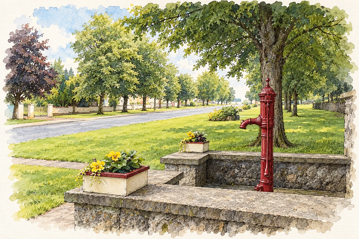
Illustration, Parish pump, Ballymore, County Westmeath
⊕Recorded locationBallymore53.49110° N · 7.67184° WInteractive map supplied by OpenStreetMap.
These Irish name elements are associated with this record in the Logainm glossary.
An element’s translation is a clue, rather than a complete explanation of the name. Its form and meaning depend on local history and the full Irish name.
Recorded forms
An Baile Mór· Irish · main form · validated name
Ballymore· English · main form
Place & story
The siege of 1691
Ballymore stood on the Williamite army's route towards Athlone in June 1691. Jacobite defenders occupied a fortified projection into Lough Sewdy, with only two small cannon. General Ginkel's army arrived on 7 June and established batteries against them. The lakeside position, previously an advantage, became vulnerable to a much larger attacking force. The library's account draws on George Story, a chaplain with the Williamite army whose published history and illustration record the siege and the layout of the defences.[2]
A tower with a disputed identity
A stone tower southwest of the village appears on Ordnance Survey maps as the site of Plary Monastery. Archaeological assessment has questioned that identification: the surviving fabric lacks the features expected of a religious house and may instead belong to a castle mentioned during the 1690 campaign. Testing nearby in 2001 found a single piece of probable medieval pottery. The proposed housing layout was then revised to retain views between the road and tower, preserving its place in the village landscape.[3]
The Famine Church
The Church of the Most Holy Redeemer began around 1845 and acquired further Gothic alterations around 1870. Known locally as the Famine Church, it remained unfinished until fundraising in America helped bring the project to completion around 1880. Its entrance front combines a central tower with projecting gabled doorways, rose windows and several different forms of Gothic tracery. Inside, the timber rib-vaulted ceiling and marble memorials give the building additional interest. The long construction period is visible in this mixture of architectural details.[4]
People & connections
Families across the Atlantic
Ballymore and neighbouring districts supplied many emigrants to Argentina during the nineteenth century. A local project featured by RTÉ in 2026 gathered family connections between the Irish midlands and South America. Contributor Una Byrne identified Ballymore, Moyvore, Tang and Ballymahon as important places in that movement. Other participants traced relatives who returned to Ireland as well as those who remained abroad. Their work records migration as a continuing relationship between families and places, extending beyond the original Atlantic journey.[5]
Both counts use the 2016 settlement boundary, allowing like-for-like comparison. CSO supplies the 2022 count on this older boundary for comparison only. The official 2022 Built Up Area has different boundaries.
View population figures
Ballymore — Census 2016 settlement footprint — census population
Ballymore, Westmeath — Census town, CSO 2006 report
2002–2006: census town
289people · 2006
These are the historical areas published in the 2006 census report. Boundaries may differ between censuses and from modern settlements. Legal towns, environs and suburbs are shown separately; none has been combined into a modern settlement total.
View population figures
Ballymore, Westmeath — Census town, CSO 2006 report — census population
Ballymore, Westmeath — Census town, CSO 1996 report
1991–1996: census town
212people · 1996
These are the historical areas published in the 1996 census report. Boundaries may differ between censuses and from modern settlements. Legal towns, environs and suburbs are shown separately; none has been combined into a modern settlement total.
View population figures
Ballymore, Westmeath — Census town, CSO 1996 report — census population
These figures use different area definitions. Read the boundary note before comparing them.
Ballymore, Westmeath
Published census settlement populations
483people · 2016
Settlement boundaries changed during this period. Differences may reflect boundary changes as well as population change. Where a 2011 legal-town-and-environs count is shown, it has not been recalculated onto the 2016 settlement boundary.
Parish pump, Ballymore, County Westmeath illustration: based on a Ballymore pic by Lizheen (Eilis Ryan). AI-assisted watercolour and ink adaptation; cream paper margins added, incidental clutter omitted and fine details simplified. Licence: CC BY-SA 3.0.
 placenames