Collinstown’s old schoolhouse and communal pump preserve everyday village history. A later arts project passed older residents’ memories to schoolchildren through interviews, drawings and film.
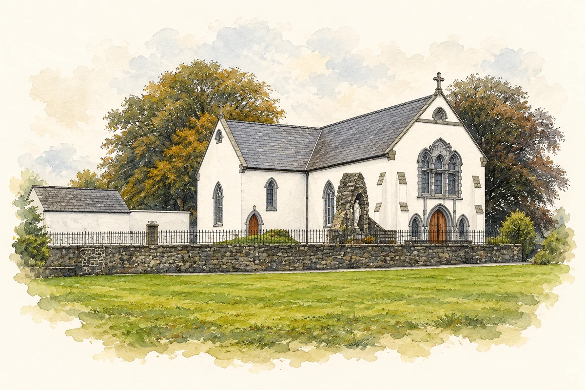
Illustration, St Mary's Church, Collinstown
⊕Recorded locationCollinstown53.64843° N · 7.21408° WInteractive map supplied by OpenStreetMap.
These Irish name elements are associated with this record in the Logainm glossary.
An element’s translation is a clue, rather than a complete explanation of the name. Its form and meaning depend on local history and the full Irish name.
Recorded forms
Baile na gCailleach· Irish · main form · validated name
Collinstown· English · main form
Place & story
Water at the former Market Square
A cast-iron pump stands on a traffic island in Collinstown’s former Market Square. The architectural inventory dates it to about 1885 and records its curved handle, fluted head and domed cap, with a granite trough in front. Before piped supplies reached individual homes, such pumps provided a shared source of water. Its position near the road junction places that everyday service in the village’s commercial centre, where an object now valued as street furniture once met a practical communal need.[2]
A limestone schoolhouse
The Old School House is a two-storey limestone building dating from about 1857. Its L-shaped plan, projecting gables and timber finials give the former school a distinctive outline. Cut-limestone chimneys rise above slate roofs, while a dressed-stone band separates the floors. Recorded as a model school by the architectural inventory, it was later used as a house. The substantial building preserves a different part of Collinstown’s educational history from the later schools associated with St Mary’s.[3]
People & connections
The Turning Wheel
In 2018 writer and broadcaster Manchán Magan interviewed four older residents of Collinstown. Local artist Teresa Doyle brought their recorded recollections to fifth- and sixth-class pupils at St Mary’s National School, who responded through drawing and clay work. Filmmakers Nicola Lane and Karl Somers then developed the project into The Turning Wheel. The community’s account records an exchange between generations in which spoken memories became the starting point for children’s art and a film rooted in the village.[4]
Both counts use the 2016 settlement boundary, allowing like-for-like comparison. CSO supplies the 2022 count on this older boundary for comparison only. The official 2022 Built Up Area has different boundaries.
View population figures
Collinstown — Census 2016 settlement footprint — census population
Collinstown, Westmeath — Census town, CSO 2006 report
2002–2006: census town
294people · 2006
These are the historical areas published in the 2006 census report. Boundaries may differ between censuses and from modern settlements. Legal towns, environs and suburbs are shown separately; none has been combined into a modern settlement total.
View population figures
Collinstown, Westmeath — Census town, CSO 2006 report — census population
Collinstown, Westmeath — Census town, CSO 1996 report
1991–1996: census town
212people · 1996
These are the historical areas published in the 1996 census report. Boundaries may differ between censuses and from modern settlements. Legal towns, environs and suburbs are shown separately; none has been combined into a modern settlement total.
View population figures
Collinstown, Westmeath — Census town, CSO 1996 report — census population
These figures use different area definitions. Read the boundary note before comparing them.
Collinstown, Westmeath
Published census settlement populations
356people · 2016
Settlement boundaries changed during this period. Differences may reflect boundary changes as well as population change. Where a 2011 legal-town-and-environs count is shown, it has not been recalculated onto the 2016 settlement boundary.
 placenames