 placenames
Killucan
Cill Liúcainne
Killucan's limestone market house stands above a village whose surviving parish records connect local families with the wider history of eighteenth-century Ireland.
The name
These Irish name elements are associated with this record in the Logainm glossary.
An element’s translation is a clue, rather than a complete explanation of the name. Its form and meaning depend on local history and the full Irish name.
Recorded forms
- Cill Liúcainne · Irish · main form · validated name
- Killucan · English · main form
Place & story
Thomas Keegan’s market house
Killucan Market House was completed around 1838 by local stonemason Thomas Keegan under Lord Longford's patronage. The National Inventory of Architectural Heritage records that its stone came from a quarry near Kilbeggan. The three-storey building rises above the surrounding street, with a central gabled projection and an arcade at ground level. It also served as a courthouse. Its prominence expresses the importance of trade and local administration, while the quality of its limestone work preserves the contribution of a named craftsman. [2]
Anthony Dopping and the parish register
The surviving Killucan parish register covers 1696–1786. The Representative Church Body Library's account identifies Anthony Dopping as rector when the volume began; he later became Bishop of Ossory in 1741. The register documents families around Killucan and Rathwire over ninety years, while other parish records include a map of the glebe from about 1799. Together, written entries and mapped land provide a detailed local record that reaches beyond the surviving church building into the lives and relationships of the parish. [3]
Fairs and the canal hinterland
Samuel Lewis described Killucan in 1837 as a small town of 29 houses, with four annual fairs and weekly petty sessions. Its wider parish included fertile cultivated land, dairy farms and stretches of bog. The Royal Canal passed through that district, and corn bought at the Tuesday market in nearby Thomastown was shipped along it. Killucan's market role therefore belonged to a network of neighbouring settlements and transport routes, rather than to the village street in isolation. [4]
Geographic information
Sources & further reading
- Logainm.ie — Killucan. Place names and geographic record, licensed under CC BY 4.0.
- Killucan Market House: NIAH 15312013 · National Inventory of Architectural Heritage
- Killucan parish register 1696–1786, transcribed and edited by Andrew Whiteside · Representative Church Body Library, Church of Ireland
- Killucan: A Topographical Dictionary of Ireland (1837) · Samuel Lewis
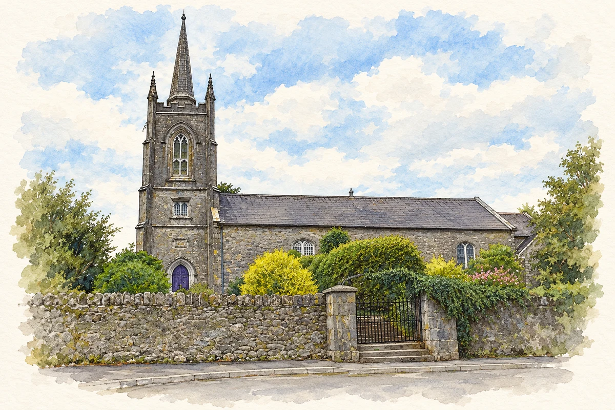
- St Etchen's Church, Killucan illustration: based on a Church: Killucan, Co. Westmeath by Dylan Moore. AI-assisted watercolour and ink adaptation; cream paper margins added, incidental clutter omitted and fine details simplified. Licence: CC BY-SA 2.0; adapted illustration distributed under the same licence.
Name record retrieved 2026-10-25 · Source record modified 2025-01-10. How this page was prepared.