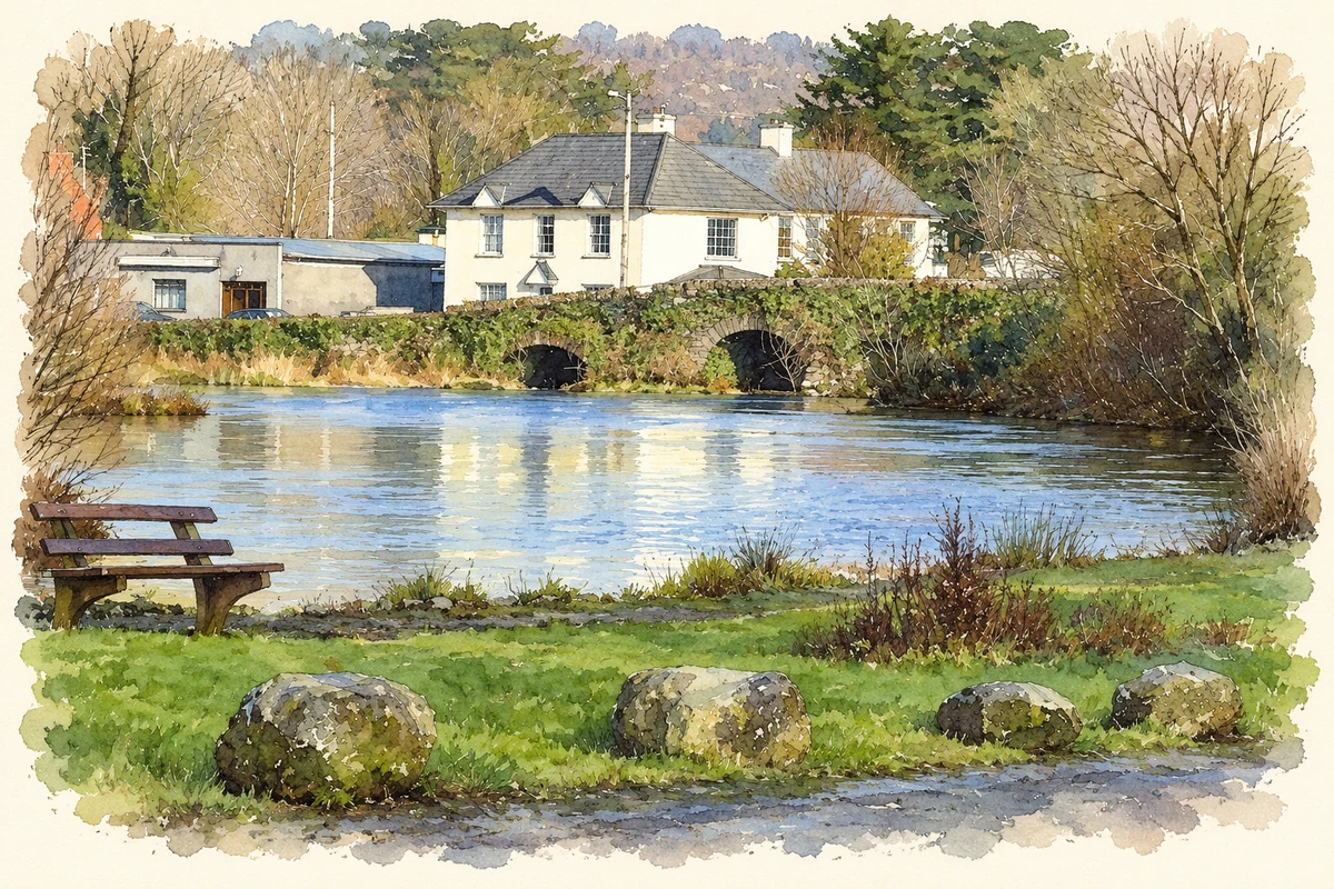
Inchigeelagh stands beside the River Lee near Lough Allua. Its history includes a once-busy fair, expanding nineteenth-century schooling and the surviving O'Leary tower house at Carrignacurra.
Illustration, River Lee and village bridge, Inchigeelagh
⊕Recorded locationInchigeelagh51.84276° N · 9.12572° WInteractive map supplied by OpenStreetMap.
These Irish name elements are associated with this record in the Logainm glossary.
An element’s translation is a clue, rather than a complete explanation of the name. Its form and meaning depend on local history and the full Irish name.
Recorded forms
Inse Geimhleach· Irish · main form · validated name
Inchigeelagh· English · main form
Place & story
Fairs beside the Lee
In 1837 Samuel Lewis listed Inchigeelagh fairs on 31 May,31 August and 3 December, trading horses, cattle, sheep and pigs. He noted that these gatherings, once heavily attended, had declined substantially. A constabulary station served the village. Across the wider parish, farmers used different soil dressings: lime brought from near Macroom in the east, and calcareous sand carried from Bantry Bay in the west. The account connects the river settlement with both local livestock trade and wider movements of agricultural supplies.[2]
Four national schools in the parish
Lewis recorded national schools at Inchigeelagh, Kilbarry and Ballingeary, erected through the efforts of the Catholic clergy and parishioners. A fourth school opened at Coolmountain in 1836 with a £30 grant. Education commissioners provided an initial stock of books, continued supplies at half price and assistance with teachers' salaries. Average attendance across the four schools was reported as five hundred children. This was a parish-wide network, with the village school forming one part of a larger investment in education.[2]
Carrignacurra's worked bedrock
East of the village, Carrignacurra tower house stands on a rock outcrop above the Lee and a historic ford. It was a principal O'Leary residence. Archaeologist Tony Miller investigated the site in 2020 ahead of restoration work, excavating thirteen test trenches. The examination revealed bedrock quarried and shaped by the builders, rock-cut drains at two corners and a possible basin beneath the garderobe chute. These practical details show how the tower's construction adapted to its rocky riverside position and managed water and waste around the building.[3]
The village on television in 1979
RTÉ's cameras visited Inchigeelagh for the opening sequence of Hall's Pictorial Weekly broadcast on 7 November 1979. The footage follows children playing, the postman on his rounds and residents reacting to the camera. The programme regularly opened with scenes from an unannounced town or village. This short sequence preserves a record of Inchigeelagh's everyday street life, extending its visual history beyond monuments and old buildings to the people using them.[4]
Both counts use the 2016 settlement boundary, allowing like-for-like comparison. CSO supplies the 2022 count on this older boundary for comparison only. The official 2022 Built Up Area has different boundaries.
View population figures
Inchigeelagh — Census 2016 settlement footprint — census population
These are the historical areas published in the 2006 census report. Boundaries may differ between censuses and from modern settlements. Legal towns, environs and suburbs are shown separately; none has been combined into a modern settlement total.
View population figures
Inchigeelagh, Cork — Census town, CSO 2006 report — census population
These are the historical areas published in the 1996 census report. Boundaries may differ between censuses and from modern settlements. Legal towns, environs and suburbs are shown separately; none has been combined into a modern settlement total.
View population figures
Inchigeelagh, Cork — Census town, CSO 1996 report — census population
Figures cover the historical town area printed in the 1986 report. Boundaries may have changed between censuses. Legal town, environs and suburb totals remain separate and differ from modern settlement boundaries.
View population figures
Inchigeelagh, Cork — Census town, CSO 1986 report — census population
These figures use different area definitions. Read the boundary note before comparing them.
Inchigeelagh, Cork
Published census settlement populations
153people · 2016
Settlement boundaries changed during this period. Differences may reflect boundary changes as well as population change. Where a 2011 legal-town-and-environs count is shown, it has not been recalculated onto the 2016 settlement boundary.
 placenames