These Irish name elements are associated with this record in the Logainm glossary.
An element’s translation is a clue, rather than a complete explanation of the name. Its form and meaning depend on local history and the full Irish name.
Recorded forms
Cill Dairbhre· Irish · main form · validated name
Kildorrery· English · main form
Place & story
The medieval church in the graveyard
Kildorrery’s ruined parish church stands within the village graveyard. The local heritage account describes red-sandstone walls, a nave and a smaller chancel, with carved fragments surviving from its earlier fabric. Conservation work identified sculpture associated with the transitional Romanesque and Gothic architecture of around 1200. A pointed doorway belongs to later alterations. Some medieval stones were reused within the church and others became grave markers, preserving traces of the building’s successive changes.[2]
Schools moving into the village
The former Scart National School, outside the village, carries a plaque dated 1847. A projecting entrance section was added around 1870, and the schoolyard was divided behind the building. It served Kildorrery’s community until a new school opened in the village during the 1970s. The architectural inventory also records an earlier Catholic church on the same site, replaced by St Bartholomew’s in Kildorrery. School and church buildings thus document a gradual concentration of communal institutions in the village itself. Scart’s former school was later converted to a house.[3]
Fairs and weekly trading
The community’s history records nineteenth-century cattle and horse fairs in May, June, September and November, alongside monthly pig fairs and a Wednesday market. Shops and trades supported that agricultural economy: the account’s reading of Guy’s 1875 directory lists grocers, vintners, blacksmiths, a cooper and makers of clothing and footwear. These businesses connect the village’s crossroads position with the practical needs of farms throughout the surrounding district.[2]
Both counts use the 2016 settlement boundary, allowing like-for-like comparison. CSO supplies the 2022 count on this older boundary for comparison only. The official 2022 Built Up Area has different boundaries.
View population figures
Kildorrery — Census 2016 settlement footprint — census population
These are the historical areas published in the 2006 census report. Boundaries may differ between censuses and from modern settlements. Legal towns, environs and suburbs are shown separately; none has been combined into a modern settlement total.
View population figures
Kildorrery, Cork — Census town, CSO 2006 report — census population
These are the historical areas published in the 1996 census report. Boundaries may differ between censuses and from modern settlements. Legal towns, environs and suburbs are shown separately; none has been combined into a modern settlement total.
View population figures
Kildorrery, Cork — Census town, CSO 1996 report — census population
Figures cover the historical town area printed in the 1986 report. Boundaries may have changed between censuses. Legal town, environs and suburb totals remain separate and differ from modern settlement boundaries.
View population figures
Kildorrery, Cork — Census town, CSO 1986 report — census population
These figures use different area definitions. Read the boundary note before comparing them.
Kildorrery, Cork
Published census settlement populations
357people · 2016
Settlement boundaries changed during this period. Differences may reflect boundary changes as well as population change. Where a 2011 legal-town-and-environs count is shown, it has not been recalculated onto the 2016 settlement boundary.
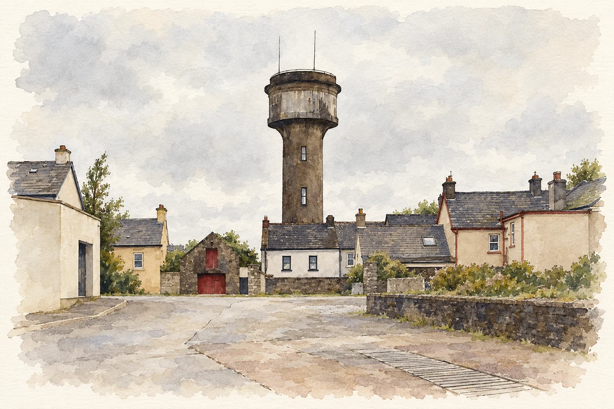
Kildorrery water tower, as photographed in 2023 illustration: based on a Kildorrery, Water tower by Rauenstein. AI-assisted watercolour and ink adaptation; cream paper margins added, incidental clutter omitted and fine details simplified. Licence: CC BY-SA 3.0.
 placenames