The Funcheon powered Kilworth's mills, while the hills behind the town became a training ground and, later, a refuge for families displaced by violence.
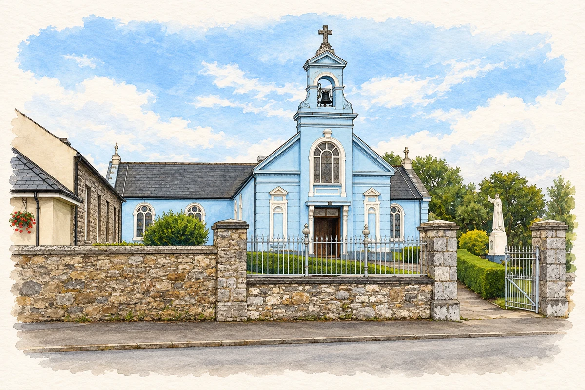
Illustration, St Martin’s Church, Kilworth
⊕Recorded locationKilworth52.17386° N · 8.24327° WInteractive map supplied by OpenStreetMap.
These Irish name elements are associated with this record in the Logainm glossary.
An element’s translation is a clue, rather than a complete explanation of the name. Its form and meaning depend on local history and the full Irish name.
Recorded forms
Cill Uird· Irish · main form · validated name
Kilworth· English · main form
Place & story
Flour, flax and the coach road
In 1837 Samuel Lewis described Kilworth as a market town on the Cork–Dublin mail-coach road, with a long, irregular main street and a six-arched bridge over the Funcheon. The river supported several industries. Laurence Corban's Maryville flour mills employed between twenty and thirty men and produced about 12,000 barrels of flour annually; there were also flax and oatmeal mills. Trade was changing even then: Lewis reported that the Friday market had declined as neighbouring Fermoy grew. His account catches a working river town whose fortunes depended on both transport and water power.[2]
Opening the mountain ranges
Kilworth Camp opened in 1896 after the British Army sought a southern training area. Mount Melleray was considered first, but Kilworth offered suitable terrain and convenient access to the road and Fermoy's railway and garrison. The purchase of almost 7,000 acres involved compensation for nine landowners and 102 tenant families. At the opening, Mrs Fryer, wife of the commander of the Cork District, fired the first shot. Soldiers of the Royal Irish Fusiliers had marched from Cork and became the first unit to use the ranges.[3]
Families seeking safety in 1971
A different use of the camp appears in an RTÉ report broadcast on 7 February 1971. Families escaping violence in Northern Ireland had been accommodated at Kilworth since July 1970. Reporter Vincent O'Sullivan interviewed a Presbyterian butcher who had arrived with his wife and children and hoped to find work and a permanent home in the Republic. The report's dining-hall footage and interview record how a military establishment became temporary domestic shelter during the early years of the Troubles.[4]
Both counts use the 2016 settlement boundary, allowing like-for-like comparison. CSO supplies the 2022 count on this older boundary for comparison only. The official 2022 Built Up Area has different boundaries.
View population figures
Kilworth — Census 2016 settlement footprint — census population
These are the historical areas published in the 2006 census report. Boundaries may differ between censuses and from modern settlements. Legal towns, environs and suburbs are shown separately; none has been combined into a modern settlement total.
View population figures
Kilworth, Cork — Census town, CSO 2006 report — census population
These are the historical areas published in the 1996 census report. Boundaries may differ between censuses and from modern settlements. Legal towns, environs and suburbs are shown separately; none has been combined into a modern settlement total.
View population figures
Kilworth, Cork — Census town, CSO 1996 report — census population
Figures cover the historical town area printed in the 1986 report. Boundaries may have changed between censuses. Legal town, environs and suburb totals remain separate and differ from modern settlement boundaries.
View population figures
Kilworth, Cork — Census town, CSO 1986 report — census population
These figures use different area definitions. Read the boundary note before comparing them.
Kilworth, Cork
Published census settlement populations
1,055people · 2016
Settlement boundaries changed during this period. Differences may reflect boundary changes as well as population change. Where a 2011 legal-town-and-environs count is shown, it has not been recalculated onto the 2016 settlement boundary.
 placenames