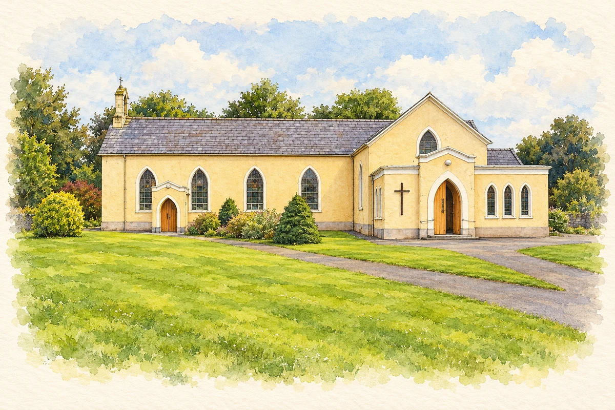
Knocknagree's fairfield remains central to its village plan, while its school and Dan O'Connell's pub preserve different kinds of shared community life.
Illustration, Knocknagree church
⊕Recorded locationKnocknagree52.12502° N · 9.20828° WInteractive map supplied by OpenStreetMap.
These Irish name elements are associated with this record in the Logainm glossary.
An element’s translation is a clue, rather than a complete explanation of the name. Its form and meaning depend on local history and the full Irish name.
Recorded forms
Cnoc na Graí· Irish · main form · validated name
Knocknagree· English · main form
Place & story
The fairfield and the village
Knocknagree stands near the Cork–Kerry border in the Sliabh Luachra region. Its broad fairfield gives the village a distinctive open centre. IRD Duhallow records a major renewal of this green in 2004–05, showing how a space inherited from earlier commercial life remained a focus for collective work. The same local account identifies a plaque to the poet Eoghan Rua Ó Súilleabháin outside the church, adding literary commemoration to the public spaces of the village.[2]
Two schools become one
Knocknagree's school history records separate boys' and girls' national schools from 1841. Both moved into the new building in 1962 but remained distinct institutions, occupying different parts of it for four years. In 1966 they amalgamated into a five-teacher coeducational school under Matthew Daly. The account recalls the children marching up the road from the old school to the new one: a specific memory of the move, followed by a change in how the village's children learned together.[3]
People & connections
Dan O’Connell’s pub
Dan O'Connell's pub became a recognised setting for Sliabh Luachra music and dance from the 1960s. Irish Life and Lore recorded him there in 2006, before the premises were sold the following year. Its archive description emphasises his enthusiasm for stepdancing and the region's musical rhythm. The local connection is practical and personal: a publican providing a place for musicians and dancers to gather. The surviving oral-history recording preserves his own voice alongside the memories attached to the building.[4]
Both counts use the 2016 settlement boundary, allowing like-for-like comparison. CSO supplies the 2022 count on this older boundary for comparison only. The official 2022 Built Up Area has different boundaries.
View population figures
Knocknagree — Census 2016 settlement footprint — census population
These are the historical areas published in the 2006 census report. Boundaries may differ between censuses and from modern settlements. Legal towns, environs and suburbs are shown separately; none has been combined into a modern settlement total.
View population figures
Knocknagree, Cork — Census town, CSO 2006 report — census population
These are the historical areas published in the 1996 census report. Boundaries may differ between censuses and from modern settlements. Legal towns, environs and suburbs are shown separately; none has been combined into a modern settlement total.
View population figures
Knocknagree, Cork — Census town, CSO 1996 report — census population
Figures cover the historical town area printed in the 1986 report. Boundaries may have changed between censuses. Legal town, environs and suburb totals remain separate and differ from modern settlement boundaries.
View population figures
Knocknagree, Cork — Census town, CSO 1986 report — census population
These figures use different area definitions. Read the boundary note before comparing them.
Knocknagree, Cork
Published census settlement populations
188people · 2016
Settlement boundaries changed during this period. Differences may reflect boundary changes as well as population change. Where a 2011 legal-town-and-environs count is shown, it has not been recalculated onto the 2016 settlement boundary.
 placenames