Ballyliffin's coastal setting has supported tourism, writing and golf. The old railway station and nearby Carrickabraghy Castle give the landscape a longer history.
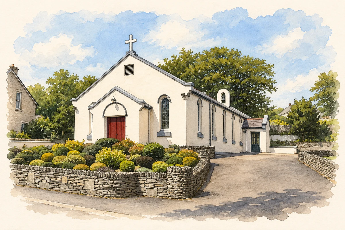
Illustration, Oratory of the Assumption, Ballyliffin
⊕Recorded locationBallyliffin55.27813° N · 7.39836° WInteractive map supplied by OpenStreetMap.
These Irish name elements are associated with this record in the Logainm glossary.
An element’s translation is a clue, rather than a complete explanation of the name. Its form and meaning depend on local history and the full Irish name.
Recorded forms
Baile Lifín· Irish · main form · validated name
Ballyliffin· English · main form
Ballyliffen· English · main form
Place & story
The railway brings visitors
Ballyliffin's station belonged to the narrow-gauge Londonderry and Lough Swilly Railway. The line to Carndonagh opened in July 1901 and closed in December 1935. The station building, constructed around 1900, combines limestone walls with yellow-brick dressings and red-brick chimneys. Its former waiting room adjoins the two-storey main building. These decorative details survive as a record of the railway's investment in the village and the transport system that helped visitors reach this part of Inishowen.[2]
A golf club built by its members
A meeting in Ballyliffin Hall on 2 April 1947 established the golf club. Ten landowners granted the necessary rights that summer, and the official opening followed on 2 May 1948. Early members helped maintain the course, even bringing their own lawnmowers before playing. The Old Links expanded to eighteen holes by 1973. A second course, Glashedy Links, designed by Pat Ruddy and Tom Craddock, opened in August 1995. The club's history traces its growth through land negotiations, voluntary work and fundraising as well as course design.[3]
Carrickabraghy from an early survey
On the Isle of Doagh north of Ballyliffin, Carrickabraghy Castle overlooks the coast. Lieutenant W. Lancey's 1834 survey describes a rectangular tower connected to a circular one, with another round tower standing apart. He recorded narrow defensive openings, thick walls, a fireplace and the groove for a timber door-bar. A boat landing lay close to the square tower. These observations capture practical details of the O'Doherty stronghold before modern conservation and help explain its relationship with the sea.[4]
People & connections
Matthew Sweeney's Ballyliffin childhood
Poet Matthew Sweeney grew up at Tirconaill House near Pollan beach. His grandfather had built the house as a guest house to serve railway visitors; it continued taking holidaymakers after the line closed. Born in Lifford in 1952, Sweeney later lived in London, continental Europe and Cork. His books include A Dream of Maps, Black Moon and Horse Music, which won the inaugural Pigott Poetry Prize. His publishing career also included children's poetry, novels and work editing anthologies.[5][6]
Both counts use the 2016 settlement boundary, allowing like-for-like comparison. CSO supplies the 2022 count on this older boundary for comparison only. The official 2022 Built Up Area has different boundaries.
View population figures
Ballyliffin — Census 2016 settlement footprint — census population
Ballyliffin, Donegal — Census town, CSO 2006 report
2002–2006: census town
357people · 2006
These are the historical areas published in the 2006 census report. Boundaries may differ between censuses and from modern settlements. Legal towns, environs and suburbs are shown separately; none has been combined into a modern settlement total.
View population figures
Ballyliffin, Donegal — Census town, CSO 2006 report — census population
Ballyliffin, Donegal — Census town, CSO 1996 report
1991–1996: census town
299people · 1996
These are the historical areas published in the 1996 census report. Boundaries may differ between censuses and from modern settlements. Legal towns, environs and suburbs are shown separately; none has been combined into a modern settlement total.
View population figures
Ballyliffin, Donegal — Census town, CSO 1996 report — census population
Ballyliffin, Donegal — Census town, CSO 1986 report
1981–1986: census town
198people · 1986
Figures cover the historical town area printed in the 1986 report. Boundaries may have changed between censuses. Legal town, environs and suburb totals remain separate and differ from modern settlement boundaries.
View population figures
Ballyliffin, Donegal — Census town, CSO 1986 report — census population
These figures use different area definitions. Read the boundary note before comparing them.
Ballyliffin, Donegal
Published census settlement populations
426people · 2016
Settlement boundaries changed during this period. Differences may reflect boundary changes as well as population change. Where a 2011 legal-town-and-environs count is shown, it has not been recalculated onto the 2016 settlement boundary.
 placenames