 placenames
Bunbeg
An Bun Beag
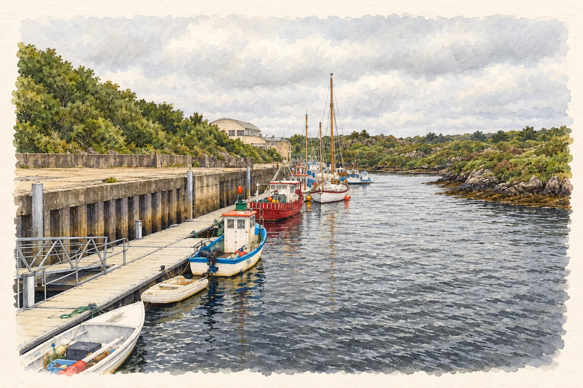
Bunbeg’s harbour buildings and wireless history reveal a small coastal settlement linked to trade, navigation and political change.
The name
These Irish name elements are associated with this record in the Logainm glossary.
An element’s translation is a clue, rather than a complete explanation of the name. Its form and meaning depend on local history and the full Irish name.
Recorded forms
- An Bun Beag · Irish · main form · validated name
- Bunbeg · English · main form
Place & story
The quay on the Clady
Bunbeg’s quay stands on the north bank of the Clady River, south of the village. The architectural inventory dates it to about 1850 and tentatively associates it with Lord George Hill’s estate developments, possibly during the Famine. Pink granite and limestone form the coursed stone walls; steps descend to the water, while bollards and mooring posts mark its working edge. Its modest scale reflects a local maritime economy served by practical river-mouth infrastructure. [2]
The coastguard officer’s house
The former coastguard officer’s house at Magheraclogher was built around 1893 and is attributed to Robert Cochrane of the Board of Works. Its symmetrical two-storey front and paired end chimneys distinguish it from the more utilitarian quay. A separate stone stable block stands behind, forming a courtyard. Together these buildings show that maritime administration required accommodation, transport and storage as well as a watch over vessels. The inventory records the house’s later domestic use. [3]
A wireless station in 1922
Bunbeg’s naval wireless station became the subject of questions in the House of Commons on 17 May 1922. Chief Secretary Hamar Greenwood stated that it had been transferred to the Provisional Government about a fortnight earlier and destroyed the previous Thursday. He valued its buildings, furniture and equipment at approximately £4, 600 but could not quantify the damage. His reply documents the incident and transfer of responsibility, while leaving the full circumstances and extent of destruction unresolved. [4]
Geographic information
- Place type
- Town
- County
- Donegal
- Barony
- Kilmacrenan
- Within
- Magheraclogher
- Coordinates
- 55.07520, -8.29720
- Logainm ID
- 1414063 ↗
Sources & further reading
- Logainm.ie — Bunbeg. Place names and geographic record, licensed under CC BY 4.0.
- Magheraclogher quay, Bunbeg, NIAH 40903211 · National Inventory of Architectural Heritage
- Bunbeg Coastguard Station, NIAH 40903202 · National Inventory of Architectural Heritage
- Naval Wireless Station, Bunbeg: Commons debate, 17 May 1922, volume 154, column 335 · UK Parliament, Hansard
- Bunbeg Harbour illustration: based on a Bunbeg harbour by Rossographer. AI-assisted watercolour and ink adaptation; cream paper margins added, incidental clutter omitted and fine details simplified. Licence: CC BY-SA 2.0; adapted illustration distributed under the same licence.
Name record retrieved 2026-10-25 · Source record modified 2021-07-29. How this page was prepared.