These Irish name elements are associated with this record in the Logainm glossary.
An element’s translation is a clue, rather than a complete explanation of the name. Its form and meaning depend on local history and the full Irish name.
Recorded forms
Ailt an Chorráin· Irish · main form · validated name
Burtonport· English · main form
Place & story
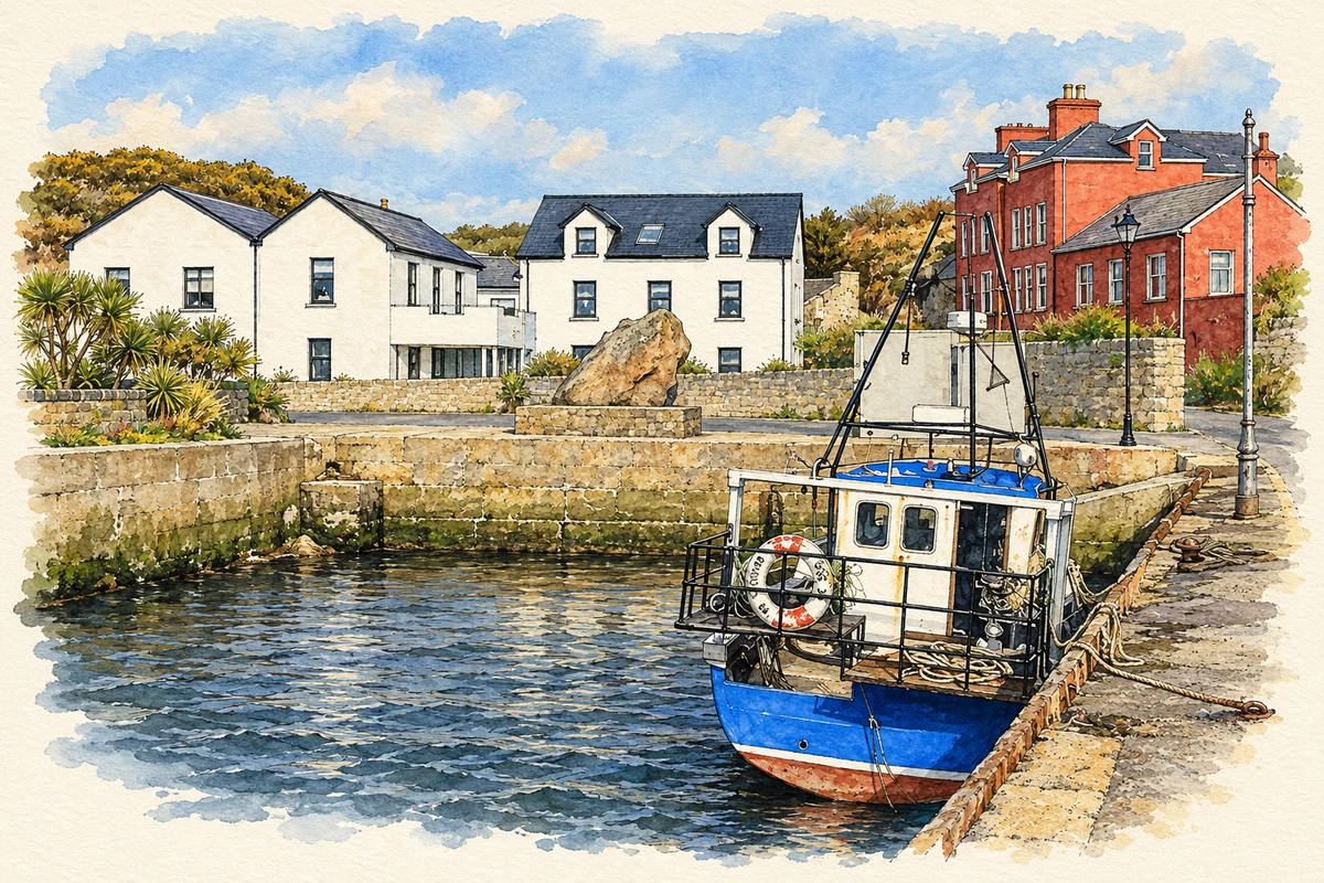
A working fishing harbour
The 1969 West Donegal Resource Survey recorded Burtonport as an important centre for salmon fishing, attracting workers home from Britain for the short summer season. Herring-processing plants cured and packed fish for export, while ice stores and cold storage supported the trade. The survey described the fishermen's co-operative's plans for fish-handling premises, an ice plant and lobster tanks. It also listed Burtonport as the ferry terminal serving Arranmore, Inishfree and Rutland: fishing and island transport shared the same harbour.[2]
The railway becomes a walk
The Letterkenny–Burtonport railway reached the port in 1903 and closed here in 1940. Its former route acquired a new purpose through local work to create a railway walk. By Heritage Week 2012, Burtonport Heritage Group was leading visitors along the restored line to see stations, gatehouses and other remains, with an exhibition of photographs and artefacts. A related biodiversity walk followed the route towards Meenbanad, showing how the former transport corridor had also become a habitat.[3]
The enterprise on Rutland Island
Close to Burtonport, Inis Mhic an Doirn was renamed Rutland during an eighteenth-century development scheme directed by William Burton Conyngham. Archaeological survey has documented the remains of a planned fishing station with a customs house and residential accommodation. The island's surviving settlement belongs to an ambitious attempt to develop the regional fishery through a purpose-built port community.[4]
People & connections
Joseph Sweeney's Burtonport beginnings
Joseph Aloysius Sweeney was born in Burtonport in 1897, the son of merchant John Sweeney and Margaret O'Donnell. He attended the village national school before studying in Letterkenny and at Patrick Pearse's St Enda's in Dublin. After fighting in the GPO in 1916, he returned to Donegal and later worked as accountant in his father's business. Elected MP for Donegal West in 1918, he was the youngest member of the first Dáil. His later army career included service as chief of staff.[5]
Ailt An Chorráin — Census 2016 settlement footprint
Population within 2016 settlement boundaries
322people · 2022
Both counts use the 2016 settlement boundary, allowing like-for-like comparison. CSO supplies the 2022 count on this older boundary for comparison only. The official 2022 Built Up Area has different boundaries.
View population figures
Ailt An Chorráin — Census 2016 settlement footprint — census population
Ailt an Chorráin, Donegal — Census town, CSO 2006 report
2002–2006: census town
270people · 2006
These are the historical areas published in the 2006 census report. Boundaries may differ between censuses and from modern settlements. Legal towns, environs and suburbs are shown separately; none has been combined into a modern settlement total.
View population figures
Ailt an Chorráin, Donegal — Census town, CSO 2006 report — census population
Ailt an Chorráin, Donegal — Census town, CSO 1996 report
1991–1996: census town
296people · 1996
These are the historical areas published in the 1996 census report. Boundaries may differ between censuses and from modern settlements. Legal towns, environs and suburbs are shown separately; none has been combined into a modern settlement total.
View population figures
Ailt an Chorráin, Donegal — Census town, CSO 1996 report — census population
Burtonport, Donegal — Census town, CSO 1986 report
1981–1986: census town
316people · 1986
Figures cover the historical town area printed in the 1986 report. Boundaries may have changed between censuses. Legal town, environs and suburb totals remain separate and differ from modern settlement boundaries.
View population figures
Burtonport, Donegal — Census town, CSO 1986 report — census population
These figures use different area definitions. Read the boundary note before comparing them.
Ailt an Chorráin, Donegal
Published census settlement populations
304people · 2016
Settlement boundaries changed during this period. Differences may reflect boundary changes as well as population change. Where a 2011 legal-town-and-environs count is shown, it has not been recalculated onto the 2016 settlement boundary.
 placenames