A reliable full-name meaning has not been established here. The recorded Irish and English forms are given without an unsupported translation.
Recorded forms
An Carraigín· Irish · main form · validated name
Carrigans· English · main form
Place & story
Dunmore above the Foyle
Dunmore House stands on an elevated site overlooking the River Foyle near Carrigans. Dated 1742, its main block has the balanced proportions of an eighteenth-century country house, with a prominent Venetian window above the entrance. Later additions changed its outline and approach, including a Doric porch. The National Inventory of Architectural Heritage cautions against automatically dating that porch to the Famine: its architectural details suggest an earlier nineteenth-century origin. The house survives within a larger group of estate buildings and gardens.[2]
Working buildings and sheltered gardens
The yard behind Dunmore contains barns, stables and other buildings arranged around a courtyard. Their varying heights, loading doors and external stone stairs preserve the practical side of estate life. Nearby, the walled garden combined enclosure and cultivation. Brick lining on portions of its inner walls helped retain heat for plants, while carriage entrances allowed access for the work of the garden. These structures reveal the labour and resources behind the country house's more formal front.[3][4]
People & connections
Mathematics in the garden
An unusual collection of sundials at Dunmore dates from about 1935–36. The heritage inventory attributes their design to Mrs McClintock, a mathematician, and their reinforced-concrete shafts and faces to her husband, an army engineer. Metal numerals and gnomons accompany a wall panel plotting the sun's path. These small structures add a twentieth-century history of calculation and practical experimentation to the older garden landscape.[5]
Saint Fiach’s
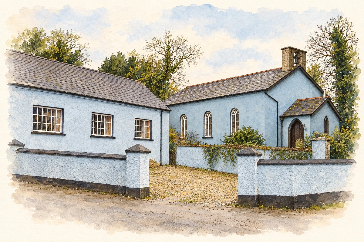
Saint Fiach's Church was built in 1765 and extended in 1856 to designs by Alexander Hardy. Its chancel, entrance porch and later stained glass reflect the building's development over time. The Ascension window installed in 1900 was made by Carlisle & Wilson of Belfast. The surrounding graveyard and former schoolhouse, subsequently used as a hall, place worship, burial and education together at the eastern end of the village.[6]
Both counts use the 2016 settlement boundary, allowing like-for-like comparison. CSO supplies the 2022 count on this older boundary for comparison only. The official 2022 Built Up Area has different boundaries.
View population figures
Carrigans — Census 2016 settlement footprint — census population
These are the historical areas published in the 2006 census report. Boundaries may differ between censuses and from modern settlements. Legal towns, environs and suburbs are shown separately; none has been combined into a modern settlement total.
View population figures
Carrigans, Donegal — Census town, CSO 2006 report — census population
These are the historical areas published in the 1996 census report. Boundaries may differ between censuses and from modern settlements. Legal towns, environs and suburbs are shown separately; none has been combined into a modern settlement total.
View population figures
Carrigans, Donegal — Census town, CSO 1996 report — census population
Figures cover the historical town area printed in the 1986 report. Boundaries may have changed between censuses. Legal town, environs and suburb totals remain separate and differ from modern settlement boundaries.
View population figures
Carrigans, Donegal — Census town, CSO 1986 report — census population
These figures use different area definitions. Read the boundary note before comparing them.
Carrigans, Donegal
Published census settlement populations
331people · 2016
Settlement boundaries changed during this period. Differences may reflect boundary changes as well as population change. Where a 2011 legal-town-and-environs count is shown, it has not been recalculated onto the 2016 settlement boundary.
 placenames