Kerrykeel, recorded canonically as Carrowkeel, has an architectural heritage that includes a surviving thatched cottage and a Presbyterian church opened in 1914. It was also the birthplace of footballer Billy Gillespie.
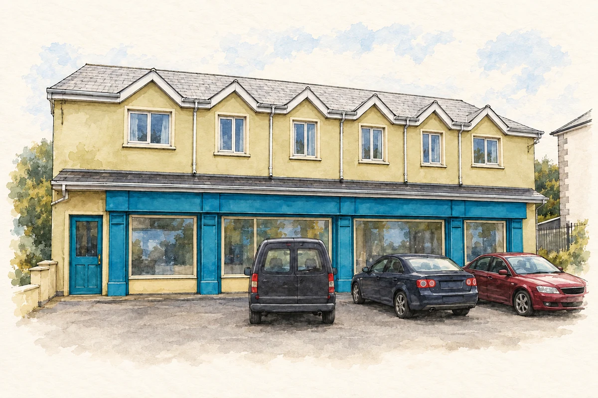
Illustration, Kerrykeel post office and shop, Carrowkeel, 2011 view
⊕Recorded locationCarrowkeel55.13774° N · 7.66475° WInteractive map supplied by OpenStreetMap.
These Irish name elements are associated with this record in the Logainm glossary.
An element’s translation is a clue, rather than a complete explanation of the name. Its form and meaning depend on local history and the full Irish name.
Recorded forms
An Cheathrú Chaol· Irish · main form · validated name
Carrowkeel· English · main form
Kerrykeel· English · main form · local name
Place & story
A thatched cottage finds a new use
A small house in Kerrykeel preserves the form of a nineteenth-century vernacular dwelling. Dated to about 1860 by the architectural inventory, it has a thatched roof and a projecting porch that shelters the entrance from the wind. Ropes and metal pegs secure the covering beneath protective mesh. When surveyed in 2011, the original house was being used as an art gallery, with later extensions providing additional space and accommodation. The building records both the survival of a traditional construction method and the adaptation of an older home.[2]
People & connections
Billy Gillespie's journey into football
Billy Gillespie was born in Kerrykeel in 1891. His family moved to Derry after his father retired from the Royal Irish Constabulary, and he began playing with Institute before joining professional football in England. In 1925 he became the first Irishman to captain an FA Cup-winning side, leading Sheffield United against Cardiff City. He later managed Derry City. A commemorative plaque unveiled at Rab's Park in Kerrykeel in 2013 marked the connection between the village and a career that had taken him across the Irish Sea.[3]
From Gortcally to Kerrykeel
Fannet's Presbyterian congregation first worshipped at Gortcally, outside the village. Its own history records the ordination of its first minister, Adam White, in 1654 and his later imprisonment at Lifford for nonconformity. The earlier meeting house was a thatched building. Under the ministry of Frederick Torrens, the congregation decided to move into Kerrykeel and construct a new church. It opened on 15 March 1914, shortly before the outbreak of the First World War, giving a long-established religious community a new home within the village.[4]
Both counts use the 2016 settlement boundary, allowing like-for-like comparison. CSO supplies the 2022 count on this older boundary for comparison only. The official 2022 Built Up Area has different boundaries.
View population figures
Carrowkeel — Census 2016 settlement footprint — census population
Carrowkeel, Donegal — Census town, CSO 2006 report
2002–2006: census town
331people · 2006
These are the historical areas published in the 2006 census report. Boundaries may differ between censuses and from modern settlements. Legal towns, environs and suburbs are shown separately; none has been combined into a modern settlement total.
View population figures
Carrowkeel, Donegal — Census town, CSO 2006 report — census population
Carrowkeel, Donegal — Census town, CSO 1996 report
1991–1996: census town
268people · 1996
These are the historical areas published in the 1996 census report. Boundaries may differ between censuses and from modern settlements. Legal towns, environs and suburbs are shown separately; none has been combined into a modern settlement total.
View population figures
Carrowkeel, Donegal — Census town, CSO 1996 report — census population
Carrowkeel, Donegal — Census town, CSO 1986 report
1981–1986: census town
229people · 1986
Figures cover the historical town area printed in the 1986 report. Boundaries may have changed between censuses. Legal town, environs and suburb totals remain separate and differ from modern settlement boundaries.
View population figures
Carrowkeel, Donegal — Census town, CSO 1986 report — census population
These figures use different area definitions. Read the boundary note before comparing them.
Carrowkeel, Donegal
Published census settlement populations
355people · 2016
Settlement boundaries changed during this period. Differences may reflect boundary changes as well as population change. Where a 2011 legal-town-and-environs count is shown, it has not been recalculated onto the 2016 settlement boundary.
Kerrykeel post office and shop illustration: based on a Kerrykeel Post Office / Mace by Kenneth Allen. AI-assisted watercolour and ink adaptation; cream paper margins added, incidental clutter omitted and fine details simplified. Licence: CC BY-SA 2.0.
 placenames