Castlefinn's Diamond, riverside trading history and surviving railway structures record several ways in which the town connected the Finn Valley with wider markets.
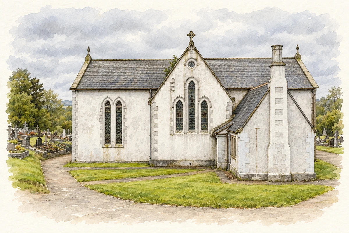
Illustration, St Mary's old Church, Castlefinn
⊕Recorded locationCastlefinn54.80360° N · 7.59090° WInteractive map supplied by OpenStreetMap.
These Irish name elements are associated with this record in the Logainm glossary.
An element’s translation is a clue, rather than a complete explanation of the name. Its form and meaning depend on local history and the full Irish name.
Recorded forms
Caisleán na Finne· Irish · main form · validated name
Castlefinn· English · main form
Castlefin· English · main form · local name
Place & story
A surviving feature of the Diamond
The cast-iron pump at the southern end of the Diamond dates from about 1885. Its banded shaft, fluted cap and curved handle turn an everyday piece of water-supply equipment into a distinctive feature of the square. A Lawrence Collection photograph from around 1890 shows it immediately south of the market house, which has since disappeared. Although the pump has been repositioned, it preserves part of the setting in which residents collected water and traders gathered. Its survival helps locate an older public centre within the present town.[2]
People & connections
Doctor Francis Rogan's riverside trade
The town's community heritage account records Doctor Francis Rogan as a landowner who sought to develop Castlefinn's commercial facilities. A surgeon associated with Derry, he travelled to his Castlefinn property by boat and built a small quay near the bridge. He also provided a grain store with a drying kiln and a market yard. The account places these improvements within a period when river transport connected the town with Strabane and Derry. Rogan's combination of medical work, property ownership and investment in trade forms a distinctive local link between the town and the wider Foyle region.[3]
Traces of the Finn Valley Railway
The railway between Strabane and Stranorlar opened in September 1863. Near the former Castlefinn station, a stone bridge carried a road over the line. Its rounded arch, dressed stonework and contrasting masonry remain evidence of the engineering investment, although the railway tracks have gone and the opening has been partly filled. Passenger services on this section ended on 1 January 1960, followed shortly afterwards by goods traffic. The bridge and surviving station buildings therefore belong to a transport system that served the town for nearly a century before road travel took its place.[4]
Both counts use the 2016 settlement boundary, allowing like-for-like comparison. CSO supplies the 2022 count on this older boundary for comparison only. The official 2022 Built Up Area has different boundaries.
View population figures
Castlefin — Census 2016 settlement footprint — census population
These are the historical areas published in the 2006 census report. Boundaries may differ between censuses and from modern settlements. Legal towns, environs and suburbs are shown separately; none has been combined into a modern settlement total.
View population figures
Castlefin, Donegal — Census town, CSO 2006 report — census population
These are the historical areas published in the 1996 census report. Boundaries may differ between censuses and from modern settlements. Legal towns, environs and suburbs are shown separately; none has been combined into a modern settlement total.
View population figures
Castlefin, Donegal — Census town, CSO 1996 report — census population
Figures cover the historical town area printed in the 1986 report. Boundaries may have changed between censuses. Legal town, environs and suburb totals remain separate and differ from modern settlement boundaries.
View population figures
Castlefin, Donegal — Census town, CSO 1986 report — census population
These figures use different area definitions. Read the boundary note before comparing them.
Castlefin, Donegal
Published census settlement populations
705people · 2016
Settlement boundaries changed during this period. Differences may reflect boundary changes as well as population change. Where a 2011 legal-town-and-environs count is shown, it has not been recalculated onto the 2016 settlement boundary.
 placenames