 placenames
Abbeyshrule
Mainistir Shruthla
The medieval abbey beside the Inny and the Whitworth Aqueduct represent two very different periods in Abbeyshrule’s development.
The name
These Irish name elements are associated with this record in the Logainm glossary.
An element’s translation is a clue, rather than a complete explanation of the name. Its form and meaning depend on local history and the full Irish name.
Recorded forms
- Mainistir Shruthla · Irish · main form · validated name
- Abbeyshrule · English · main form
Place & story
The Cistercian foundation
Abbeyshrule’s medieval monastery was founded under O’Farrell patronage and colonised by Cistercian monks from Mellifont. The University of Sheffield’s Cistercian history records the abbey’s close later association with the O’Farrell family and its burning by English forces in 1476. The surviving church includes thirteenth-century work. A smaller chapel was subsequently created within its eastern end, while a separate tower house south of the church belongs to the post-Reformation period. These remains represent several stages of occupation. [2]
Securing the surviving arches
Conservation at the abbey required archaeological supervision in 2010. Archaeologist Judith Carroll’s report describes a low wall between the nave and chancel containing three arches that were at risk of collapse. Work began in October, with monitoring during the removal of soil above them. This specific account records how the ruin was investigated as well as repaired. It also identifies the internal division as a significant part of the fabric requiring protection. [3]
The Whitworth Aqueduct
Northeast of Abbeyshrule, the Whitworth Aqueduct carries the Royal Canal and its towpaths across the River Inny on five arches. John Killaly designed it, with construction undertaken by Henry, Mullins and McMahon between 1814 and 1817. Its limestone piers and abutments curve outward towards their bases to resist the thrust of the waterway above. Name plaques and an inscription record the engineering enterprise. The structure remains a substantial landmark of the canal’s final extension towards the Shannon. [4]
Geographic information
- Place type
- Population centre
- County
- Longford
- Barony
- Shrule
- Civil parish
- Abbeyshrule
- Coordinates
- 53.58037, -7.65271 (approximate)
- Logainm ID
- 1414154 ↗
Sources & further reading
- Logainm.ie — Abbeyshrule. Place names and geographic record, licensed under CC BY 4.0.
- Abbeyshrule, Cistercian abbeys of Ireland · University of Sheffield, The Cistercians in Yorkshire project
- 2010:454 Abbeyshrule Abbey Conservation Project · Judith Carroll, Excavations Bulletin
- Whitworth Aqueduct, Drumanure, 13402337 · National Inventory of Architectural Heritage
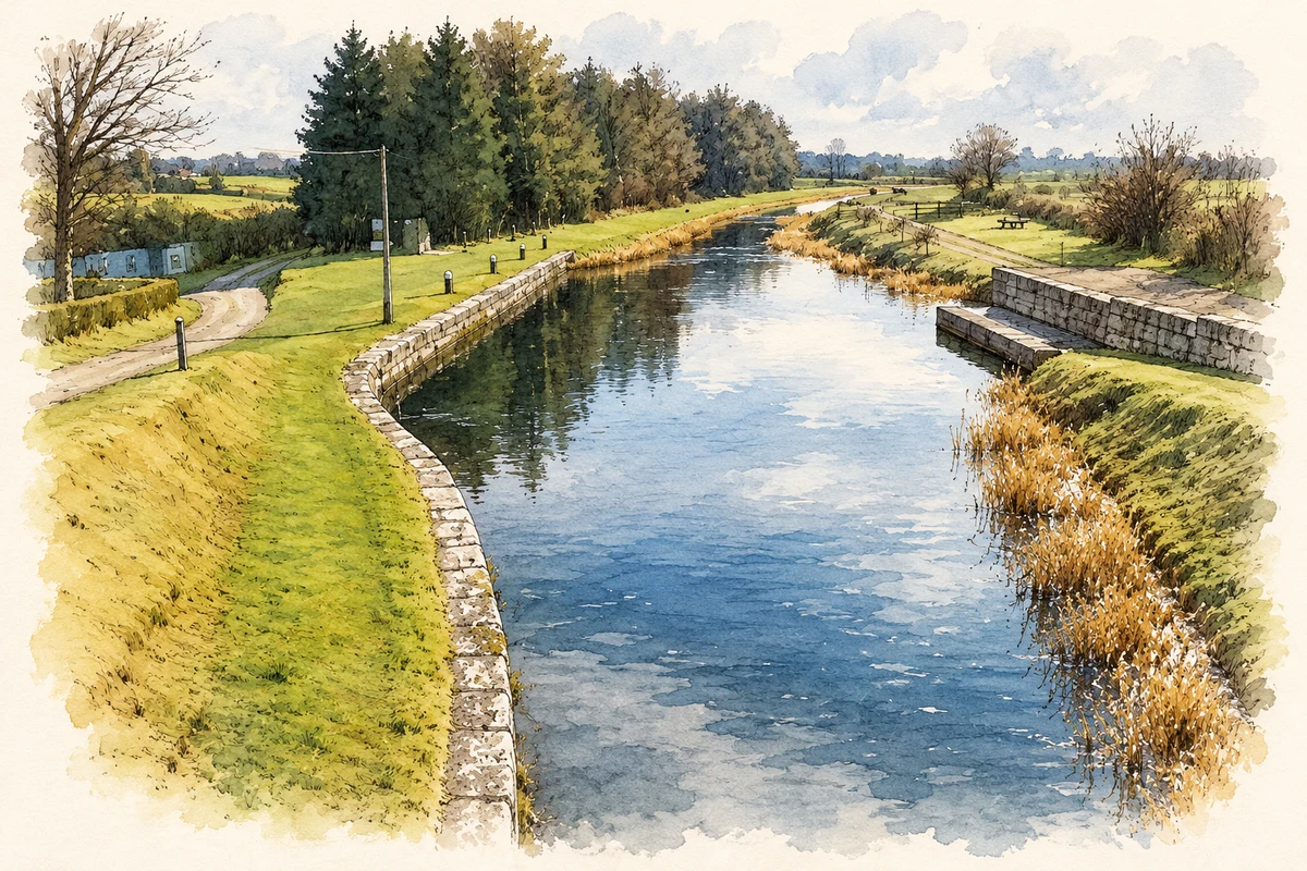
- Royal Canal basin at Abbeyshrule, County Longford illustration: based on a Canal basin, Abbeyshrule, Co.Longford (19March2001) by Kieran Campbell. AI-assisted watercolour and ink adaptation; cream paper margins added, incidental clutter omitted and fine details simplified. Licence: CC BY-SA 2.0.
Name record retrieved 2026-10-25 · Source record modified 2025-01-10. How this page was prepared.