 placenames
Curr
An Chorr
Old place names complicated Curr’s nineteenth-century ownership.
The name
These Irish name elements are associated with this record in the Logainm glossary.
An element’s translation is a clue, rather than a complete explanation of the name. Its form and meaning depend on local history and the full Irish name.
Recorded forms
- An Chorr · Irish · main form · validated name
- Curr · English · main form
Place & story
Older names
Writing in 1881, the Earl of Belmore identified Curr with the older names Achorrow and Corballytacken. He presented that identification as his interpretation of the 1609 and 1834 maps, rather than an established translation. [2]
An unintended sale
Belmore said the differing names caused Curr to be overlooked when preparing an estate sale. It was consequently sold in two lots for about £8,000, with Lord Lifford buying one. His appendix includes Curr among lands sold in 1852–53. [2]
Geographic information
- Place type
- Population centre
- County
- Tyrone
- Barony
- Omagh East
- Civil parish
- Clogherny
- Coordinates
- 54.50346, -7.16634 (approximate)
- Logainm ID
- 1414329 ↗
Sources & further reading
- Logainm.ie — Curr. Place names and geographic record, licensed under CC BY 4.0.
- History of the Two Ulster Manors,1881, pp287,304,372–373 · Somerset Richard Lowry-Corry, Earl of Belmore
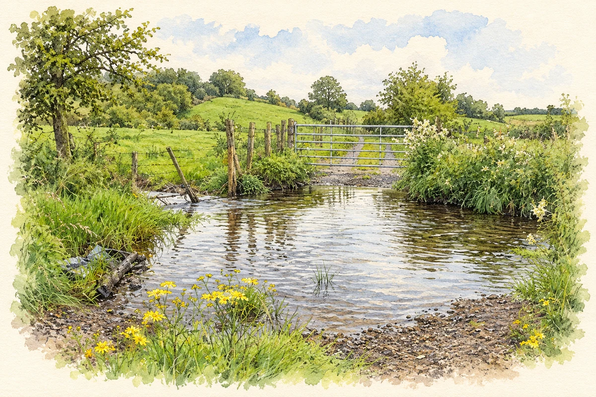
- Ford on the Routing Burn near Curr illustration: based on a Ford, Routing Burn, Garvaghy by Kenneth Allen. AI-assisted watercolour and ink adaptation; cream paper margins added, incidental clutter omitted and fine details simplified. Licence: CC BY-SA 2.0.
Name record retrieved 2026-10-25 · Source record modified 2012-01-27. How this page was prepared.