 placenames
Bellacorick
Béal Átha Chomhraic
A limestone river crossing and successive energy projects mark Bellacorick’s changing landscape.
The name
These Irish name elements are associated with this record in the Logainm glossary.
An element’s translation is a clue, rather than a complete explanation of the name. Its form and meaning depend on local history and the full Irish name.
Recorded forms
- Béal Átha Chomhraic · Irish · main form · validated name
- Bellacorick · English · main form
Place & story
The crossing over the Owenmore
Bellacorick Bridge was built in 1820–21 to a design by the engineer and mapmaker William Bald. Its date stone records the authority of the Grand Jury and its foreman, Denis Browne. Four elliptical arches carry the road over the Owenmore, with rounded triangular cutwaters facing the river. The carefully worked limestone parapets also gave the crossing its familiar name, the Musical Bridge. [2]
Peat and electricity
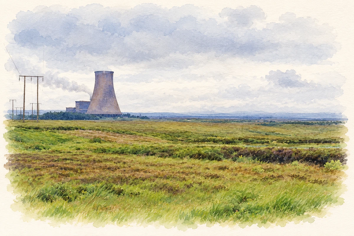
Bord na Móna began developing the surrounding bogs in 1951, draining land and preparing it for mechanical peat harvesting. Construction of Bellacorick power station followed in 1958, and its first generating unit entered service in 1962. Erskine Childers, then Minister for Transport and Power, officially opened the station in May 1963. Small diesel trains brought peat from the bogs to a tippler that emptied the wagons for the station’s conveyors. [3]
The turn to wind
Bellacorick became the location of Ireland’s first commercial wind farm in 1992. The later Oweninny wind project inherited an industrial landscape: its environmental assessment described an extensive former peat-harvesting site that had supplied the decommissioned power station. ESB and Bord na Móna applied jointly for a new wind development in 2013. These successive projects connect Bellacorick’s electricity history to both the extraction of bog fuel and the development of wind generation. [4]
Geographic information
Sources & further reading
- Logainm.ie — Bellacorick. Place names and geographic record, licensed under CC BY 4.0.
- Bellacorick Bridge, NIAH 31302702 · National Inventory of Architectural Heritage
- Bellacorick power station publicity pamphlet · Electricity Supply Board
- Oweninny Wind Farm Environmental Impact Statement: Non Technical Summary · ESB International
- Bellacorick power station, County Mayo, in 1993 illustration: based on a Bellacorick (turf-burning) Power Station, 1993 (9 June 1993) by Ben Brooksbank. AI-assisted watercolour and ink adaptation; cream paper margins added, incidental clutter omitted and fine details simplified. Licence: CC BY-SA 2.0.
Name record retrieved 2026-10-25 · Source record modified 2025-01-10. How this page was prepared.