 placenames
Campsie
Camsan
An Omagh neighbourhood where riverside streets, a merchant’s house and a family bar preserve distinct local histories.
The name
A reliable full-name meaning has not been established here. The recorded Irish and English forms are given without an unsupported translation.
Recorded forms
- Camsan · Irish · main form · validated name
- Campsie · English · main form
- Campsey · English · main form · local name
Place & story
The low ground between the rivers
Campsie forms part of Omagh around the meeting of the Drumragh and Camowen, where the rivers become the Strule. The town’s 2015 masterplan distinguishes its low-lying streets from the higher ground of High Street and the churches. It describes Campsie as a residential and shopping community in its own right, while proposing closer pedestrian connections across the river to the rest of the centre. The waterways have shaped both its identity and its connections. [2]
Campsie House and its architects
The Irish Architectural Archive records Young & Mackenzie’s work on Campsie House, Hospital Road, in 1889. The commission comprised a substantial house and offices for Hans Beresford Fleming, with Colhoun Brothers of Derry as contractors. The archive later recorded the building’s use as the Western Education and Library Board headquarters, tracing a change from private residence to educational administration. [3]
A pub and a passage abroad
Peter McAleer established his Campsie bar in 1873 and added a shipping agency by 1912. Callum McGuigan’s account of the business describes how arranging emigrants’ travel became part of its work alongside serving local customers. Peter’s son Charlie returned from Canada to help run the business in the 1930s. Charlie passed the travel agency to his daughter Bernadette in 1966, showing how one premises supported several generations and different kinds of trade. [4]
Eugene Boyle’s recollections
Eugene Boyle joined McAleer’s in 1952 and later recalled a mixed Catholic and Protestant clientele before the Troubles. His account, preserved in the newspaper’s history of the bar, links everyday sociability with later upheaval. A bomb destroyed much of the premises in November 1972 after staff evacuated the customers; it was rebuilt. The bar also recovered from severe flooding in 1987, before the family sold it in 2005. [4]
Geographic information
- Place type
- Population centre
- County
- Tyrone
- Barony
- Omagh East
- Civil parish
- Cappagh
- Coordinates
- 54.59417, -7.30375 (approximate)
- Logainm ID
- 1414348 ↗
Sources & further reading
- Logainm.ie — Campsie. Place names and geographic record, licensed under CC BY 4.0.
- Omagh Updated Town Centre Masterplan, March 2015 · The Paul Hogarth Company for Omagh District Council
- Campsie House, work record 62498 · Irish Architectural Archive, Dictionary of Irish Architects
- Popular Campsie premises is Omagh’s oldest bar, 2 February 2024 · Callum McGuigan, We Are Tyrone
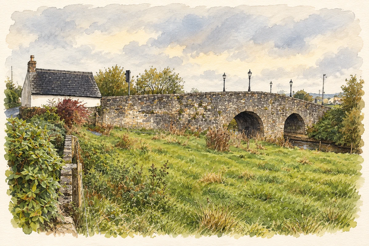
- King James' Bridge, originally Campsie Bridge, near Campsie, Omagh illustration: based on a "Campsie Bridge", Irishtown Road, Omagh by Kenneth Allen. AI-assisted watercolour and ink adaptation; cream paper margins added, incidental clutter omitted and fine details simplified. Licence: CC BY-SA 2.0; adapted illustration distributed under the same licence.
Name record retrieved 2026-10-25 · Source record modified 2012-01-27. How this page was prepared.