 placenames
Croghan
Cruachán
A small Roscommon village whose fair trade and estate history remain legible beside Saint Michael’s Church.
The name
These Irish name elements are associated with this record in the Logainm glossary.
An element’s translation is a clue, rather than a complete explanation of the name. Its form and meaning depend on local history and the full Irish name.
Recorded forms
- Cruachán · Irish · main form · validated name
- Croghan · English · main form
Place & story
A working village in 1837
Samuel Lewis described Croghan as about twenty houses and cabins on the road from Elphin to Boyle. Its inhabitants manufactured drugget, frieze and flannel, while cattle fairs brought a wider rural population into the village. The October fair, held on the twenty-eighth, was particularly important in the district. Weekly petty sessions, a police station and a dispensary made this small settlement a centre for services as well as trade. Lewis also recorded a £500 loan fund established by Guy Lloyd in 1833. [2]
The house that has disappeared
The Lloyd family’s connection with Croghan predates that nineteenth-century description. The University of Galway’s Landed Estates record identifies J. Lloyd, described as a spinster, in the 1749 Census of Elphin, and a Lloyd seat here in Wilson’s account of 1786. Guy Lloyd occupied Croghan House at the time of Griffith’s Valuation, when it was assessed at £40. The house has disappeared, but its extensive outbuildings preserve part of the estate’s physical presence. [3]
Saint Michael’s at the corner
Saint Michael’s Catholic Church belongs to a later phase than the chapel mentioned by Lewis. The National Inventory of Architectural Heritage dates the present church to about 1880. Its three-stage tower and cruciform plan give it a conspicuous position at the street corner. Inside, an open timber roof spans the nave, with side aisles, stained glass and decorative plasterwork. The survey particularly singles out the column capitals and gallery; a burial ground for priests lies on the north side. [4]
A smaller public landmark
Croghan’s cast-iron water pump offers a more modest reminder of village infrastructure. Dated to about 1870 by the architectural survey, it has a banded shaft, fluted upper section and spout, and a curved pumping handle. The survey recorded it as disused in 2003. Its decorative cap and carefully shaped fittings show that an everyday water supply could also receive ornamental treatment. [5]
Geographic information
Sources & further reading
- Logainm.ie — Croghan. Place names and geographic record, licensed under CC BY 4.0.
- Croghan, A Topographical Dictionary of Ireland (1837) · Samuel Lewis
- Croghan · University of Galway, Landed Estates
- Saint Michael’s Catholic Church, Croghan, record 31806004 · National Inventory of Architectural Heritage
- Croghan water pump, record 31806001 · National Inventory of Architectural Heritage
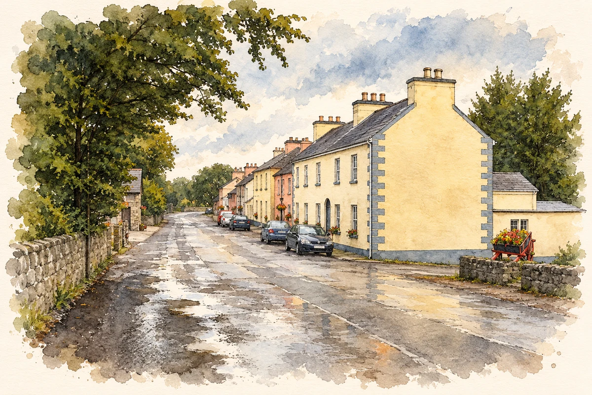
- Village street, Croghan, County Roscommon illustration: based on a Croghan, Co. Roscommon by Kieran Campbell. AI-assisted watercolour and ink adaptation; cream paper margins added, incidental clutter omitted and fine details simplified. Licence: CC BY-SA 2.0; adapted illustration distributed under the same licence.
Name record retrieved 2026-10-25 · Source record modified 2025-01-10. How this page was prepared.