Excavations beneath Tulsk’s grassy earthworks revealed a medieval tower and earlier occupation. A Dominican priory and the Rathcroghan Visitor Centre connect the village with a much wider historical landscape.
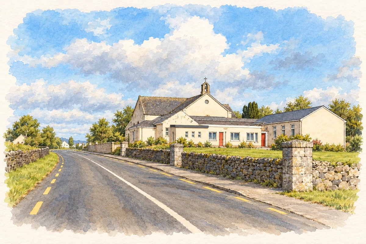
Illustration, Tulsk National School and Catholic Church
⊕Recorded locationTulsk53.77776° N · 8.25029° WInteractive map supplied by OpenStreetMap.
A reliable full-name meaning has not been established here. The recorded Irish and English forms are given without an unsupported translation.
Recorded forms
Tuilsce· Irish · main form · validated name
Tulsk· English · main form
Place & story
A tower beneath the mound
The Discovery Programme’s excavations at Tulsk revealed how much a grass-covered earthwork could conceal. Earlier occupation included prehistoric arrowheads and a ringfort with tenth- or eleventh-century finds. A substantial medieval stone tower occupied the eastern side of the mound, measuring about twenty metres by ten. The surrounding raised platform served as an enclosed defensive area. Later deposits reflected Elizabethan military occupation, when Richard Bingham garrisoned Tulsk in the 1590s. The layers record repeated changes in the use of a central village site.[2]
The Dominican priory
Tulsk’s Dominican priory was founded in the mid-fifteenth century and depended on local patrons. The founder’s identity remains disputed, with both the MacDowell family and an O’Conor named in the historical discussion. The friars left in 1584 following dissolution. Surviving remains include the church, fragments of the cloister and other ranges, a tower house and later mausoleums, bringing several phases of religious and commemorative use together.[2]
A centre for Rathcroghan
Rathcroghan Visitor Centre stands in Tulsk, introducing the archaeological landscape west of the village. Its Óenach Cruachain exhibition displays thirty-five objects discovered in mid-Roscommon that were formerly held in the National Museum of Ireland. Interpretive displays connect material evidence with medieval accounts of Queen Medb and the Táin Bó Cuailnge. The centre gives the village a role in explaining the surrounding royal landscape, while the monuments themselves lie beyond Tulsk.[3]
Both counts use the 2016 settlement boundary, allowing like-for-like comparison. CSO supplies the 2022 count on this older boundary for comparison only. The official 2022 Built Up Area has different boundaries.
View population figures
Tulsk — Census 2016 settlement footprint — census population
These figures use different area definitions. Read the boundary note before comparing them.
Tulsk, Roscommon
Published census settlement populations
241people · 2016
Settlement boundaries changed during this period. Differences may reflect boundary changes as well as population change. Where a 2011 legal-town-and-environs count is shown, it has not been recalculated onto the 2016 settlement boundary.
Tulsk National School and Catholic Church illustration: based on a Tulsk National School and Catholic Church by Eric Jones. AI-assisted watercolour and ink adaptation; cream paper margins added, incidental clutter omitted and fine details simplified. Licence: CC BY-SA 2.0.
 placenames