 placenames
Cloghboley
Clochbhuaile
Surviving stone structures record contrasting kinds of building in the landscape north of Drumcliff Bay.
The name
A reliable full-name meaning has not been established here. The recorded Irish and English forms are given without an unsupported translation.
Recorded forms
- Clochbhuaile · Irish · main form · validated name
- Cloghboley · English · main form
Place & story
The central-court tomb
Cloghboley’s court tomb has opposing galleries opening into a central court, approached from the south. The western gallery contains two chambers, while the eastern gallery retains a prominent backstone. The national megalithic survey records the surrounding cairn as approximately twenty-five metres long. Low stones, missing uprights and displaced slabs preserve an incomplete but recognisable arrangement of court, galleries and enclosing mound. [2]
A second, less certain monument
Another ruined stone monument lies nearer Drumcliff Bay. A field fence crosses its remains, which include a line of three uprights and other stones in a small mound. The survey interprets it as a megalithic tomb but cannot assign it confidently to a particular type. It distinguishes these uncertain remains from the better-defined court tomb farther north. [2]
John’s Port tower
The tower known as John’s Port belongs to a much later building tradition. The architectural inventory dates it to around 1840 and describes a square structure rising through three stages. Its rendered walls have a brick course below the eaves and pointed-arch windows, some subsequently blocked. The recorded roofless condition contrasts with the surviving outline, leaving a compact nineteenth-century landmark in Cloghboley’s built landscape. [3]
Geographic information
Sources & further reading
- Logainm.ie — Cloghboley. Place names and geographic record, licensed under CC BY 4.0.
- Survey of the Megalithic Tombs of Ireland, Volume V: County Sligo (1989), sites 18 and 20 · Seán Ó Nualláin; National Monuments Service
- John’s Port, Cloghboley, NIAH 32400702: building survey search record · National Inventory of Architectural Heritage
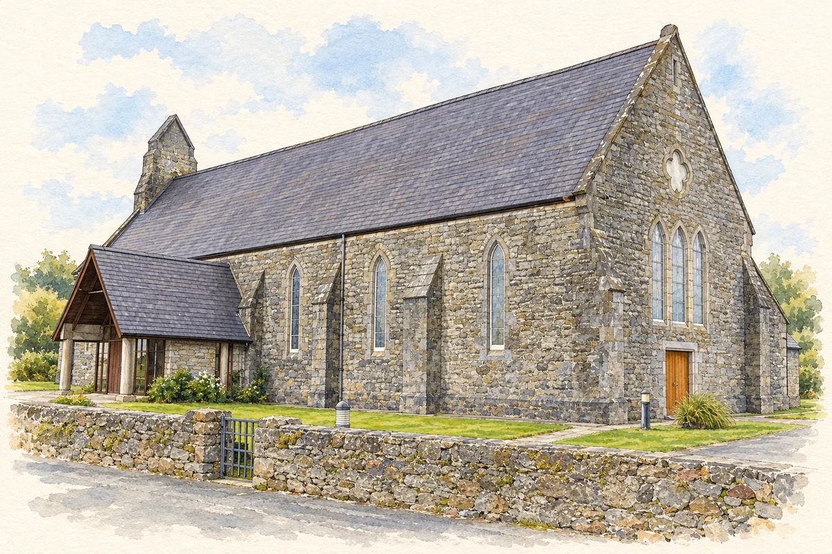
- Catholic church near Cloghboley illustration: based on a Cloghboley RC Church by Kenneth Allen. AI-assisted watercolour and ink adaptation; cream paper margins added, incidental clutter omitted and fine details simplified. Licence: CC BY-SA 2.0.
Name record retrieved 2026-10-25 · Source record modified 2025-01-10. How this page was prepared.