 placenames
Colgagh
Calgach
Colgagh forms part of the rural parish of Calry, where a nineteenth-century house and church stand alongside a school created by amalgamation.
The name
A reliable full-name meaning has not been established here. The recorded Irish and English forms are given without an unsupported translation.
Recorded forms
- Calgach · Irish · main form · validated name
- Colgagh · English · main form
Place & story
The distinctive roof of Colgagh House
Colgagh House is a two-storey residence above a basement, with a canted entrance bay and a separate projecting staircase bay. Its half-hipped slate roof gives it a distinctive outline, while sash windows, a round-headed stair window and outbuildings preserve much of its historic character. The National Inventory dates the house to around 1840 and notes its setting among mature woodland. [2]
Saint Patrick’s and successive renovations
Saint Patrick's Catholic Church stands in Colgagh, serving the surrounding Calry community. The local Memory of Calry project records substantial renovations in the 1940s and again in the 1990s. Its account also describes the sanctuary's redesign, including a reredos incorporating the tabernacle. These changes record the adaptation of an established parish building across the twentieth century. [3]
Dunally and Calry schools joined
Saint Patrick's National School was built in 1989 following the amalgamation of Dunally and Calry national schools. A further extension in 2005 added three classrooms, a general-purpose room, a library and staff accommodation. The school's own history records the parents' association's support for a computer laboratory within the library. The development brought together older school communities while providing additional space and facilities for their successor. [4]
Geographic information
Sources & further reading
- Logainm.ie — Colgagh. Place names and geographic record, licensed under CC BY 4.0.
- Colgagh House,record32401504 · National Inventory of Architectural Heritage
- Places of Interest:Saint Patrick’s Church,Colgagh · Memory of Calry
- History of Saint Patrick’s National School,Calry · Saint Patrick’s National School,Calry
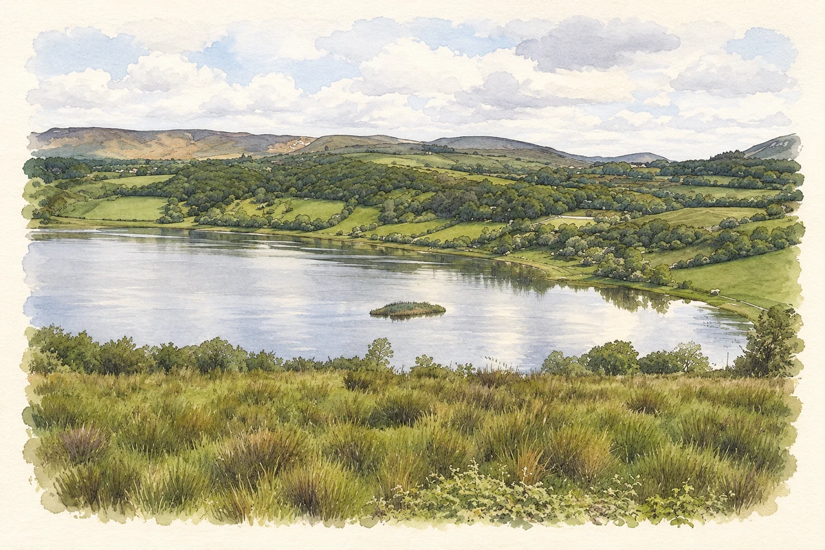
- Lough Colgagh illustration: based on a Lough Colgagh by Kenneth Allen. AI-assisted watercolour and ink adaptation; cream paper margins added, incidental clutter omitted and fine details simplified. Licence: CC BY-SA 2.0.
Name record retrieved 2026-10-25 · Source record modified 2025-01-10. How this page was prepared.