These Irish name elements are associated with this record in the Logainm glossary.
An element’s translation is a clue, rather than a complete explanation of the name. Its form and meaning depend on local history and the full Irish name.
Recorded forms
An Droim Mór Thiar· Irish · main form · validated name
Dromore West· English · main form
Place & story
The village before the workhouse
In 1837 Samuel Lewis described Dromore West as a post town on the mail-coach road between Sligo and Ballina. His count was only about twenty houses and 109 inhabitants. He recorded three annual fairs, a Catholic chapel and a revenue police presence, with John Fenton’s Dromore House among the residences nearby. This was a small roadside service centre before the construction of the union workhouse in the following decade.[2]
The union workhouse
George Wilkinson designed the Dromore West Union Workhouse, built between 1850 and 1852 to accommodate four hundred people. The Irish Architectural Archive records construction costs of £4,650, with another £815 for fittings and related items, and first admissions in 1852. The complex lay outside the village at Camcuill. Its buildings were arranged around two courtyards, and the surviving entrance included dressed limestone gate piers. The institution’s scale greatly exceeded the village described by Lewis fifteen years earlier.[3][4]
Milling beside the Dunneill
A former watermill stands beside the Dunneill River at the village’s eastern edge. The architectural survey dates the three-storey building to around 1870. Its L-shaped arrangement combines rough limestone walls, stone-edged openings and a distinctive diamond-paned cast-iron window. Doors placed one above another served the upper floors. The building records an industrial use of the river within a settlement otherwise associated with the road junction and its surrounding farmland.[5]
Both counts use the 2016 settlement boundary, allowing like-for-like comparison. CSO supplies the 2022 count on this older boundary for comparison only. The official 2022 Built Up Area has different boundaries.
View population figures
Dromore West — Census 2016 settlement footprint — census population
These figures use different area definitions. Read the boundary note before comparing them.
Dromore West, Sligo
Published census settlement populations
227people · 2016
Settlement boundaries changed during this period. Differences may reflect boundary changes as well as population change. Where a 2011 legal-town-and-environs count is shown, it has not been recalculated onto the 2016 settlement boundary.
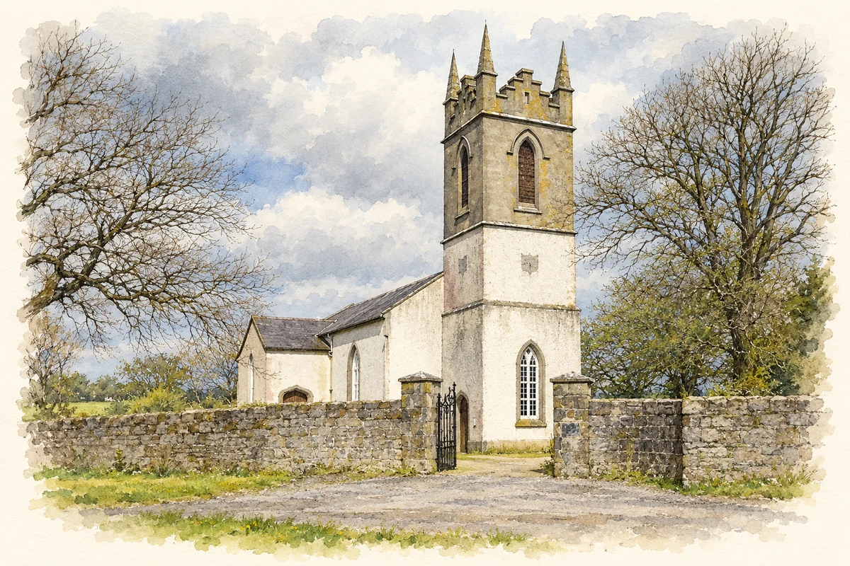
Saint Mary's Church, Kilmacshalgan, Dromore West, County Sligo illustration: based on a St Mary's, Kilmacshalgan (2006) by Brian Shaw. AI-assisted watercolour and ink adaptation; cream paper margins added, incidental clutter omitted and fine details simplified. Licence: CC BY-SA 2.0.
 placenames