 placenames
Ballymackey
Baile Uí Mhacaí
Ballymackey’s buildings and surviving estate documents reveal changing ownership and the nineteenth-century institutions of a rural Tipperary parish.
The name
These Irish name elements are associated with this record in the Logainm glossary.
An element’s translation is a clue, rather than a complete explanation of the name. Its form and meaning depend on local history and the full Irish name.
Recorded forms
- Baile Uí Mhacaí · Irish · main form · validated name
- Ballymackey · English · main form
Place & story
The house beside the old castle
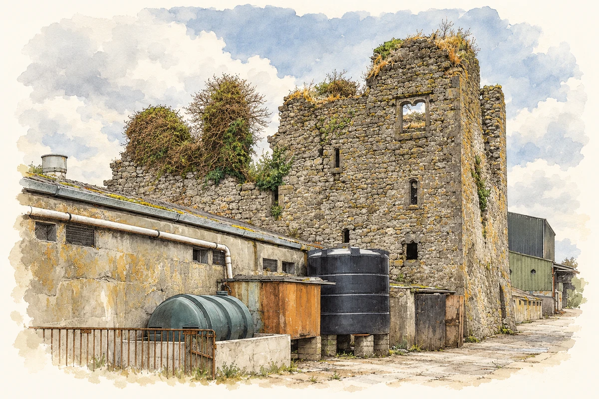
Ballymackey House stood against the south side of an older tower house. University of Galway research traces a reference to Mr O’Meara’s residence here in 1786, but both house and castle were already ruined when the first Ordnance Survey mapped the area in the 1830s. The Ordnance Survey Name Books described the later house as wholly ruinous. Castle remains survived into a landscape increasingly occupied by farm buildings. [2]
The church of 1815
The Church of Ireland church at Ballymackey was built in 1815 with a £1,000 loan from the Board of First Fruits. Samuel Lewis’s 1837 parish account also records a glebe house, built in 1814 about a mile and a half from the church. The parish supported a school for twenty boys and twenty girls through an endowment and the rector’s annual contribution. Seven fee-paying schools and a dispensary served the wider parish. [3]
The Cole Bowen estate on paper
Ballymackey became part of the Cole Bowen family’s holdings, providing income alongside their estate at Bowen’s Court in County Cork. In 1863 the Tipperary estate covered 4,884 acres, of which Robert Cole Bowen occupied 527 himself. Documents preserved by Tipperary Libraries include estate maps, an 1854 rent demand and a list of tenants who agreed to increased rents that year. These records preserve the administration of land far beyond the village’s few houses. [4]
Geographic information
- Place type
- Population centre
- County
- Tipperary
- Barony
- Ormond Upper
- Civil parish
- Ballymackey
- Coordinates
- 52.87991, -8.08913 (approximate)
- Logainm ID
- 1414495 ↗
Sources & further reading
- Logainm.ie — Ballymackey. Place names and geographic record, licensed under CC BY 4.0.
- Ballymackey House, property 4920 · University of Galway, Landed Estates Database
- Ballymackey, A Topographical Dictionary of Ireland, 1837 · Samuel Lewis
- Ballymackey Estate: Cole Bowen estate documents · Tipperary Libraries, Ask About Ireland
- Ballymackey Castle ruins, County Tipperary illustration: based on a Castles of Munster: Ballymackey, Tipperary (1) by Mike Searle. AI-assisted watercolour and ink adaptation; cream paper margins added, incidental clutter omitted and fine details simplified. Licence: CC BY-SA 2.0.
Name record retrieved 2026-10-25 · Source record modified 2012-02-13. How this page was prepared.