 placenames
Drumturk
Droim Thoirc
Two archaeological records preserve the history of lost earthworks at Drumturk near Carrickmacross.
The name
These Irish name elements are associated with this record in the Logainm glossary.
An element’s translation is a clue, rather than a complete explanation of the name. Its form and meaning depend on local history and the full Irish name.
Recorded forms
- Droim Thoirc · Irish · main form · validated name
- Drumturk · English · main form
Place & story
The Black Fort
The National Monuments Service identifies MO031-098 at Drumturk as a possible inland promontory fort, locally called the Black Fort. The 1834 Ordnance Survey map represented it as a large D-shaped enclosure. Later field observations described a smaller raised area bounded by scarps, with quarrying at one corner. The inventory records that the earthwork had been removed by 1984; its classification remains an interpretation of the recorded remains. [2]
A neighbouring rath
A second record, MO031-099, concerns a rath about 100 metres south-west of the Black Fort. In 1967 it was recorded as a low oval area with traces of a surrounding ditch, disturbed by quarrying. This feature too was recorded as lost by 1984. The entries document two separate monuments, rather than two names for one surviving fort. [3] [2]
Geographic information
Sources & further reading
- Logainm.ie — Drumturk. Place names and geographic record, licensed under CC BY 4.0.
- Archaeological Inventory of County Monaghan,1986:DrumturkMO031-098,SMRrevision2017 · National Monuments Service
- Archaeological Inventory of County Monaghan,1986:DrumturkMO031-099,SMRrevision2017 · National Monuments Service
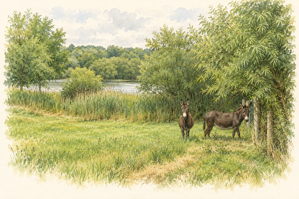
- Lake between Drumturk and Lisnashannagh illustration: based on a Lisnashannagh, Co. Monaghan by Kieran Campbell. AI-assisted watercolour and ink adaptation; cream paper margins added, incidental clutter omitted and fine details simplified. Licence: CC BY-SA 2.0.
Name record retrieved 2026-10-25 · Source record modified 2013-11-05. How this page was prepared.