 placenames
Annestown
Bun Abha
Annestown’s cliff-top house and small Gothic church give the coastal village much of its architectural character. Nearby, archaeological work at Woodstown has investigated an older defended headland whose surviving banks are being exposed by coastal erosion.
The name
These Irish name elements are associated with this record in the Logainm glossary.
An element’s translation is a clue, rather than a complete explanation of the name. Its form and meaning depend on local history and the full Irish name.
Recorded forms
- Bun Abha · Irish · main form · validated name
- Annestown · English · main form
Place & story
A house built in stages
Annestown House combines buildings from different periods. The National Inventory of Architectural Heritage dates its main house to around 1820, while a northern wing began as a separate house around 1770. A further addition followed around 1920. Its courtyard buildings, dating from about 1845, include a carriageway and a small bellcote. The house’s position above the coast and its associations with the Saint George Cole, Palliser and Galloway families make it a prominent part of the village’s built history. [2]
Saint John the Baptist’s church
The Church of Ireland church of Saint John the Baptist was built in 1822 with assistance from the Board of First Fruits. Its compact rectangular nave and three-stage entrance tower belong to a familiar early nineteenth-century church type, while narrow pointed windows and tower battlements give it a Gothic character. Inside, a limestone-flagged aisle, timber pews, wall monuments and stained glass preserve successive layers of furnishing. The heritage inventory records improvements to the internal fittings in 1877. [3]
Recording a threatened headland
At nearby Woodstown, the CHERISH project investigated a coastal promontory fort in 2021 to record remains threatened by erosion. The exposed cliff revealed two defensive banks built from material dug out of accompanying ditches, with clay laid beneath the banks. Coring helped reconstruct their surviving depth. A worked flint fragment and a sling-shot stone were recovered from the eroding cliff, while a radiocarbon sample near the base of the inner ditch produced a median date of AD 38. That sample dates material within the ditch, rather than proving a single construction year for the whole fort. [4]
Geographic information
- Place type
- Population centre
- County
- Waterford
- Barony
- Middlethird
- Civil parish
- Dunhill
- Coordinates
- 52.14081, -7.28420 (approximate)
- Logainm ID
- 1414593 ↗
Sources & further reading
- Logainm.ie — Annestown. Place names and geographic record, licensed under CC BY 4.0.
- Annestown House: NIAH register 22814013 · National Inventory of Architectural Heritage
- Church of Saint John the Baptist, Annestown: NIAH register 22814002 · National Inventory of Architectural Heritage
- 2021:708, Woodstown near Annestown, licence 21E0156 · Edward Pollard, The Discovery Programme
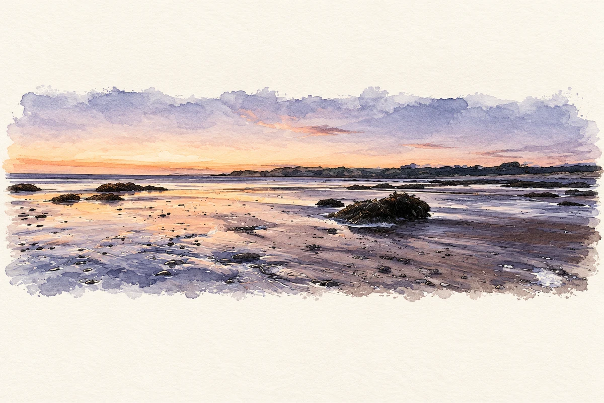
- Annestown beach at dusk, County Waterford illustration: based on a Annestown beach at dusk by tony quilty. AI-assisted watercolour and ink adaptation; cream paper margins added, incidental clutter omitted and fine details simplified. Licence: CC BY-SA 2.0.
Name record retrieved 2026-10-25 · Source record modified 2012-02-16. How this page was prepared.