 placenames
Clonea
Cluain Fhia
Clonea, also known as Clonea-Power, has an inland history marked by a fortified residence and a nineteenth-century church.
The name
These Irish name elements are associated with this record in the Logainm glossary.
An element’s translation is a clue, rather than a complete explanation of the name. Its form and meaning depend on local history and the full Irish name.
Recorded forms
- Cluain Fhia · Irish · main form · validated name
- Clonea · English · main form
Place & story
A castle on rocky ground
Clonea Castle stands south of the village on a rocky platform amid lower, boggy ground. Tom Nolan's archaeological account describes a sixteenth-century keep with a separate stair annex and six original floors, two supported by vaulting. His study distinguished the heavily defended tower from its surrounding curtain wall, recording a substantial fortified complex rather than an isolated tower alone. [2]
From the Walls to the Encumbered Estates Court
James Wall of Coolnamuck leased Clonea in 1697, beginning a long association between the property and the Wall family. Through a later marriage it passed into the Morris-Wall family. Benjamin Morris-Wall inherited in 1812 and served three times as mayor of Waterford. Financial difficulties eventually brought the approximately 1,600-acre estate before the Encumbered Estates Court, where Theophilus D. La Touche purchased it in 1850. [2]
The church recorded in early photographs
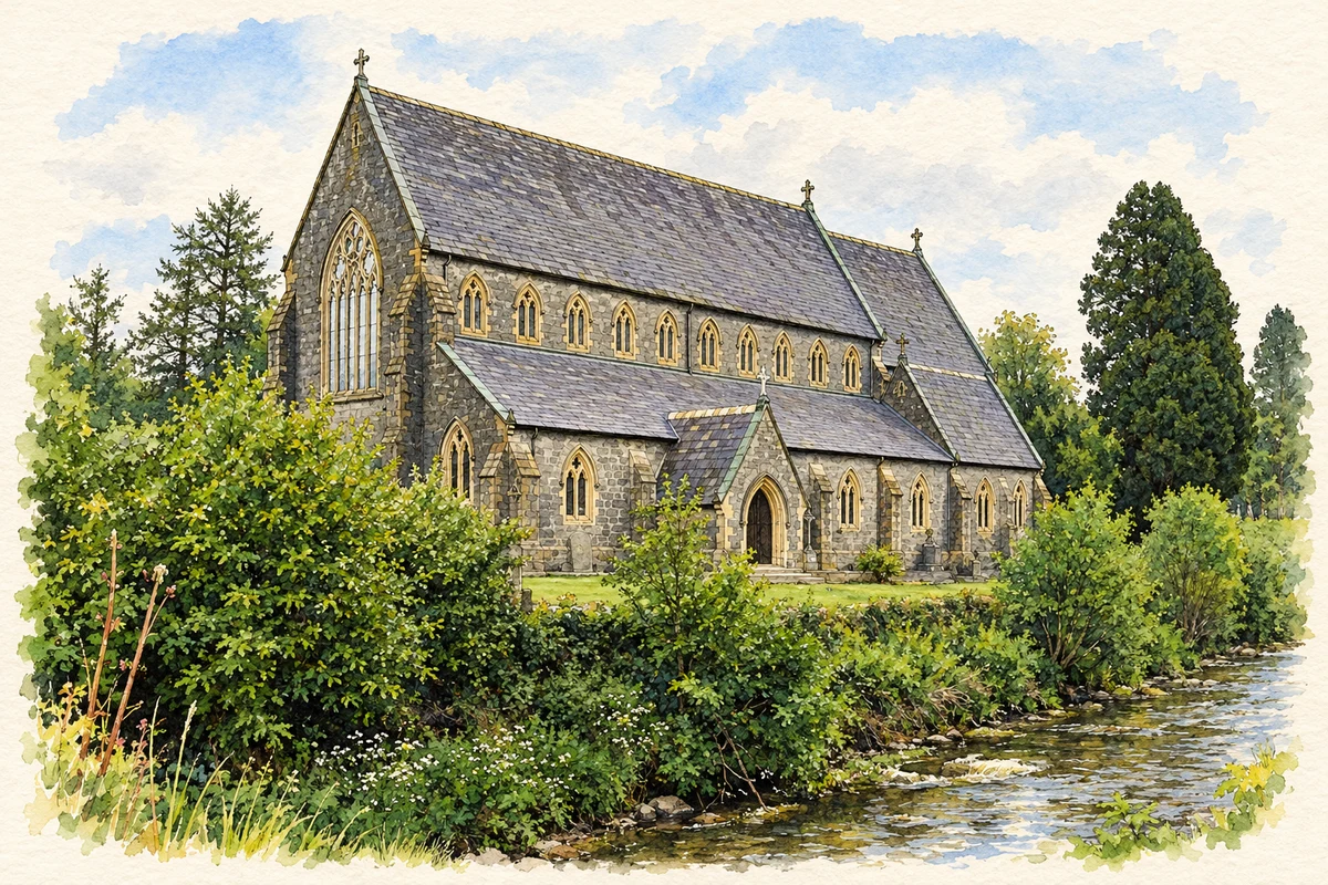
Waterford County Museum's photographic archive preserves views of Clonea-Power's Catholic church taken around 1910. Its catalogue identifies the building as the church erected in 1860 by parish priest Timothy Dowley, at a cost of £6,000, and attributes the design to McCarthy. The photographs record the front and side elevations of a building that had already served the community for roughly half a century. [3]
Geographic information
- Place type
- Population centre
- County
- Waterford
- Barony
- Glenahiry
- Barony
- Upperthird
- Civil parish
- Mothel
- Coordinates
- 52.28547, -7.44309 (approximate)
- Logainm ID
- 1414600 ↗
Sources & further reading
- Logainm.ie — Clonea. Place names and geographic record, licensed under CC BY 4.0.
- The Castle at Clonea-Power,DeciesXXXV1987,pp19–22 · Tom Nolan,Old Waterford Society
- Catholic Church at Clonea-Power,photographUK415 · Waterford County Museum
- Catholic church, Clonea-Power illustration: based on a Clonea Church by kevin higgins. AI-assisted watercolour and ink adaptation; cream paper margins added, incidental clutter omitted and fine details simplified. Licence: CC BY-SA 2.0.
Name record retrieved 2026-10-25 · Source record modified 2024-11-01. How this page was prepared.