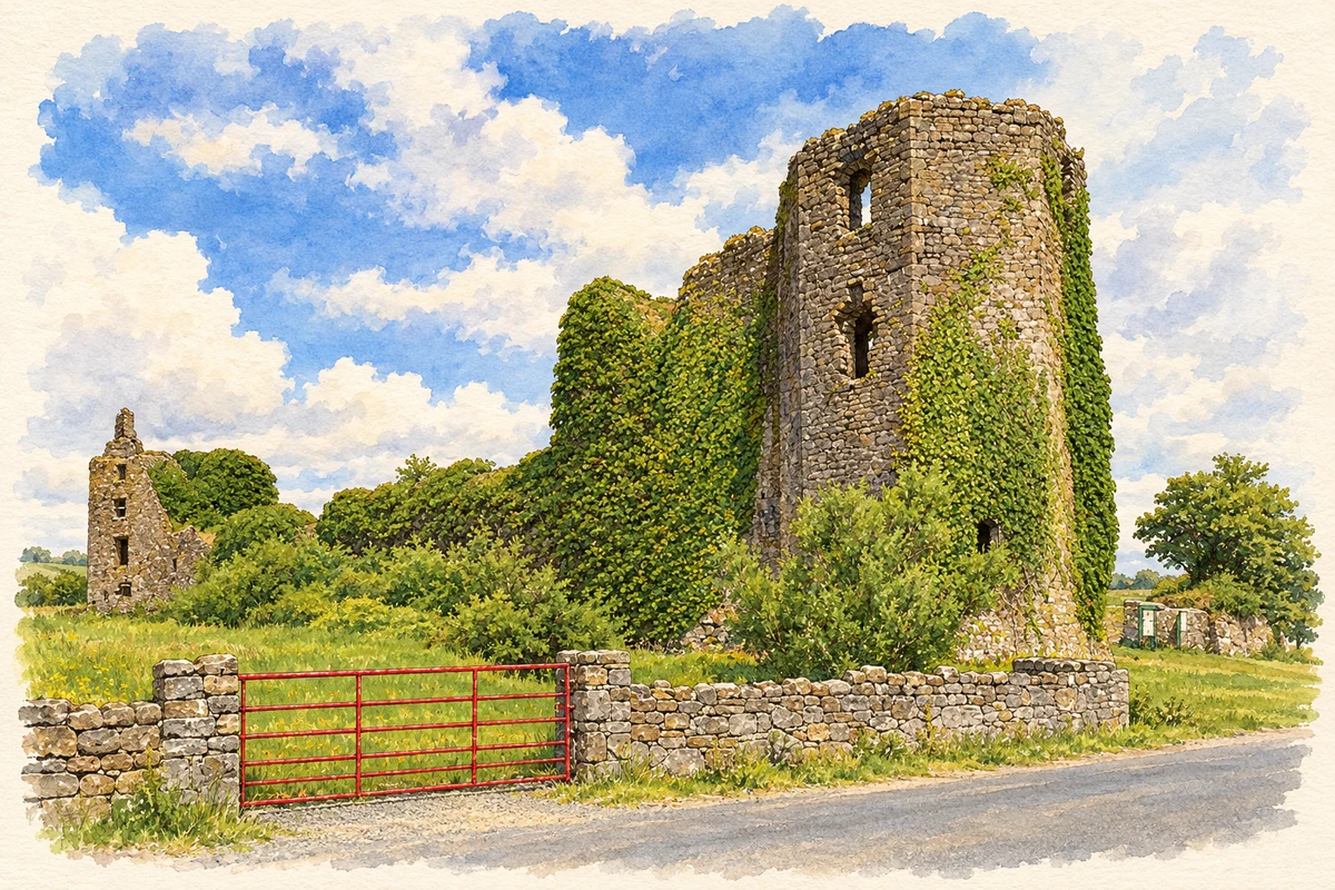
Ballintober's castle records the changing balance of power in medieval Roscommon. Its towers, old burial ground and excavated settlement preserve different parts of that long history.
Illustration, Ballintober Castle, County Roscommon
⊕Recorded locationBallintober53.71841° N · 8.41066° WInteractive map supplied by OpenStreetMap.
These Irish name elements are associated with this record in the Logainm glossary.
An element’s translation is a clue, rather than a complete explanation of the name. Its form and meaning depend on local history and the full Irish name.
Recorded forms
Baile an Tobair· Irish · main form · validated name
Ballintober· English · main form
Place & story
From de Burgh to O'Conor
Archaeologist Niall Brady identifies Richard de Burgh, Earl of Ulster, as the probable builder of Ballintober Castle in the early fourteenth century. The O'Conors had taken possession by 1362. Following the division of the family into Don and Roe lines in 1385, Ballintober became the principal seat of the O'Conor Don, while Tulsk served the O'Conor Roe. Its subsequent architecture reflects the resources invested in that residence: a fireplace inscription in the remodelled northwest tower dates to 1627, and large mullioned windows brought light into its chambers.[2]
A castle without a central keep
Ballintober's accommodation was concentrated in its walls and projecting towers. Four corner towers and a paired-tower eastern entrance enclose a large interior. A surrounding ditch provided another defensive barrier. Geophysical work in 2008 and 2009 detected buried structures around a courtyard, helping explain a space which now appears largely empty. Brady's interpretation brings the surviving perimeter and the lost internal buildings into the same picture: this was a substantial residential complex as well as a fortification.[2]
Tober Brida and the family tombs
The old graveyard preserves the O'Conor Don mausoleum dated 1634, together with later family tombs and elaborately carved eighteenth- and nineteenth-century markers. A holy well known as Tober Brida forms part of the same site. The church itself has disappeared, but burial monuments and the well retain evidence of the religious importance of this ground beside the castle. The combination gives Ballintober a second historic centre, rooted in worship and commemoration.[3]
Surveying a living community's past
A Castle Studies Trust-funded survey in 2014 used laser scanning to record the standing masonry. The resulting plans supported the Castles in Communities fieldschool in 2015. Excavations that season examined missing wall sections and exposed sixteenth-century and later levels in three areas. Project director Niall Brady reported strong involvement from villagers and landowners. These investigations extended the site's history beyond the visible towers, linking archaeological fieldwork with the community surrounding the castle.[4]
Both counts use the 2016 settlement boundary, allowing like-for-like comparison. CSO supplies the 2022 count on this older boundary for comparison only. The official 2022 Built Up Area has different boundaries.
View population figures
Ballintober — Census 2016 settlement footprint — census population
These figures use different area definitions. Read the boundary note before comparing them.
Ballintober, Roscommon
Published census settlement populations
147people · 2016
Settlement boundaries changed during this period. Differences may reflect boundary changes as well as population change. Where a 2011 legal-town-and-environs count is shown, it has not been recalculated onto the 2016 settlement boundary.
 placenames