 placenames
Braddocks
Na Bráideoga
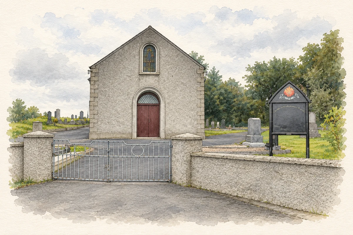
A rural crossroads church and its graveyard preserve Braddocks’ Presbyterian history in stone, glass and memorial sculpture.
The name
A reliable full-name meaning has not been established here. The recorded Irish and English forms are given without an unsupported translation.
Recorded forms
- Na Bráideoga · Irish · main form · validated name
- Braddocks · English · main form
- Bradox · English · main form · local name
Place & story
A Seceders’ meeting house
Braddocks Presbyterian Church is dated 1802. The NIAH connects its foundation with the division of the nearby Clontibret congregation at Legnacreeve in 1798. The first Ordnance Survey map identified the building as a Seceders’ Meeting House. The two communities reunited in 1905, retaining their separate churches. The building therefore records both a congregational split and a later reconciliation, alongside its longstanding role at a rural crossroads. [2]
The church at the crossroads
The church has a four-bay nave, a later entrance porch and a vestry extension. Round-headed windows retain stained glass, while pews survive within the plainly finished interior. Its surrounding graveyard and the former school opposite made the crossroads a focus of community life. These neighbouring elements place the meeting house within a wider setting of education, worship and burial rather than as an isolated rural building. [2]
James McAskie’s memorial
A polished marble monument in the graveyard commemorates the Reverend James McAskie. Dated by the NIAH to about 1897, it takes the form of a grey column on a granite base, topped by an acorn carved with foliage. Its ornamental treatment contrasts with plainer stones nearby. The memorial’s inscription preserves McAskie’s name, while its conspicuous position near the western entrance makes it a distinctive element of the graveyard’s late nineteenth-century craftsmanship. [3]
Geographic information
- Place type
- Population centre
- County
- Monaghan
- Barony
- Monaghan
- Civil parish
- Tullycorbet
- Coordinates
- 54.19581, -6.89672 (approximate)
- Logainm ID
- 1414622 ↗
Sources & further reading
- Logainm.ie — Braddocks. Place names and geographic record, licensed under CC BY 4.0.
- Braddocks Presbyterian Church, NIAH 41401410 · National Inventory of Architectural Heritage
- James McAskie monument, NIAH 41401411 · National Inventory of Architectural Heritage
- Presbyterian Church, Braddocks illustration: based on a Clontibret Presbyterian Church, Braddox by Kenneth Allen. AI-assisted watercolour and ink adaptation; cream paper margins added, incidental clutter omitted and fine details simplified. Licence: CC BY-SA 2.0.
Name record retrieved 2026-10-25 · Source record modified 2013-11-05. How this page was prepared.