Cootehall’s former police station became a source for John McGahern’s fiction and later a community museum, beside a nineteenth-century river crossing.
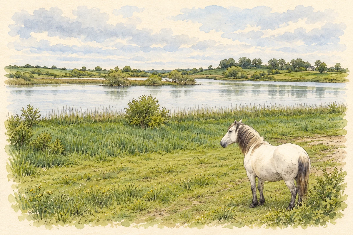
Illustration of Cootehall Lough on the Boyle River, near Cootehall, based on a 2008 photograph.
⊕Recorded locationCootehall53.98360° N · 8.15777° WInteractive map supplied by OpenStreetMap.
These Irish name elements are associated with this record in the Logainm glossary.
An element’s translation is a clue, rather than a complete explanation of the name. Its form and meaning depend on local history and the full Irish name.
Recorded forms
Uachtar Thíre· Irish · main form · validated name
Cootehall· English · main form
Place & story
People & connections
The McGahern family at the barracks
John McGahern came to live in Cootehall barracks after his mother's death in 1944. His father, Francis, served as the local Garda sergeant from 1937 to 1958. The building combined a family home with a police workplace, including the day room and cell. McGahern later drew on this environment in his first published novel, The Barracks, issued in 1963. His association with Cootehall rests on childhood residence and literary work, rather than birthplace.[2]
A community gives the building another life
The police station closed in 2012. Cootehall Community Development Group sought to preserve it as a place for village activities and an introduction to McGahern's life. Renovation began in 2018, and the permanent exhibition was launched virtually by former president Mary McAleese in April 2021. Photographs, recordings and artefacts interpret the writer's experience alongside rural policing. The project connects the preservation of a particular house with the community's own account of its past.[2][3]
The three arches over the Boyle
Cootehall Bridge crosses the River Boyle on three segmental arches and dates from around 1850. Rock-faced masonry contrasts with carefully tooled arch stones and horizontal courses. Curving approach walls and cutwaters complete its substantial stonework. A mooring point beside the bridge preserves the relationship between the road crossing and navigation. The bridge forms part of the village's riverside setting, linking the barracks and neighbouring buildings with a waterway that also shaped travel and trade.[4]
Both counts use the 2016 settlement boundary, allowing like-for-like comparison. CSO supplies the 2022 count on this older boundary for comparison only. The official 2022 Built Up Area has different boundaries.
View population figures
Cootehall — Census 2016 settlement footprint — census population
These figures use different area definitions. Read the boundary note before comparing them.
Cootehall, Roscommon
Published census settlement populations
184people · 2016
Settlement boundaries changed during this period. Differences may reflect boundary changes as well as population change. Where a 2011 legal-town-and-environs count is shown, it has not been recalculated onto the 2016 settlement boundary.
Cootehall Lough on the Boyle River, near Cootehall illustration: based on a Cootehall Lough by Oliver Dixon. AI-assisted watercolour and ink adaptation; cream paper margins added, incidental clutter omitted and fine details simplified. Licence: CC BY-SA 2.0.
 placenames