A reliable full-name meaning has not been established here. The recorded Irish and English forms are given without an unsupported translation.
Recorded forms
Turlach· Irish · main form · validated name
Turlough· English · main form
Place & story
The Fitzgerald house
Turlough Park House was built in 1865 for the Fitzgerald family, replacing an earlier residence whose ruins remain near the entrance. Thomas Newenham Deane designed the limestone house in a Gothic style, with steep roofs, dormer windows and an open entrance porch. The wider estate had reached about 8,500 acres. In 1915 the Congested Districts Board bought and redistributed estate land, changing the agricultural arrangements beyond the house and its immediate grounds.[2]
From private estate to public collection
Mayo County Council acquired the house and gardens in 1991. The site was selected in 1995 to accommodate Ireland’s National Folklife Collection, and the National Museum of Ireland’s Country Life branch opened in 2001. New exhibition galleries designed through the Office of Public Works stand beside the older house. The change brought a collection concerned with everyday rural life into a setting formerly sustained by a landed family, estate workers and tenant farmers.[3]
The parish church at Drumdaff
Turlough’s Church of Ireland building dates from 1820 and belongs to the Board of First Fruits programme of church construction. Its cruciform plan combines a nave, transepts and a shallow chancel, with a three-stage square tower at the west. Stone detailing includes obelisk-like pinnacles beside the gables. Later maintenance altered the building: the architectural survey records reroofing in 1982 and replacement windows in 1996. It is distinct from the older church ruins and round tower in the district.[4]
Both counts use the 2016 settlement boundary, allowing like-for-like comparison. CSO supplies the 2022 count on this older boundary for comparison only. The official 2022 Built Up Area has different boundaries.
View population figures
Turlough — Census 2016 settlement footprint — census population
These figures use different area definitions. Read the boundary note before comparing them.
Turlough, Mayo
Published census settlement populations
299people · 2016
Settlement boundaries changed during this period. Differences may reflect boundary changes as well as population change. Where a 2011 legal-town-and-environs count is shown, it has not been recalculated onto the 2016 settlement boundary.
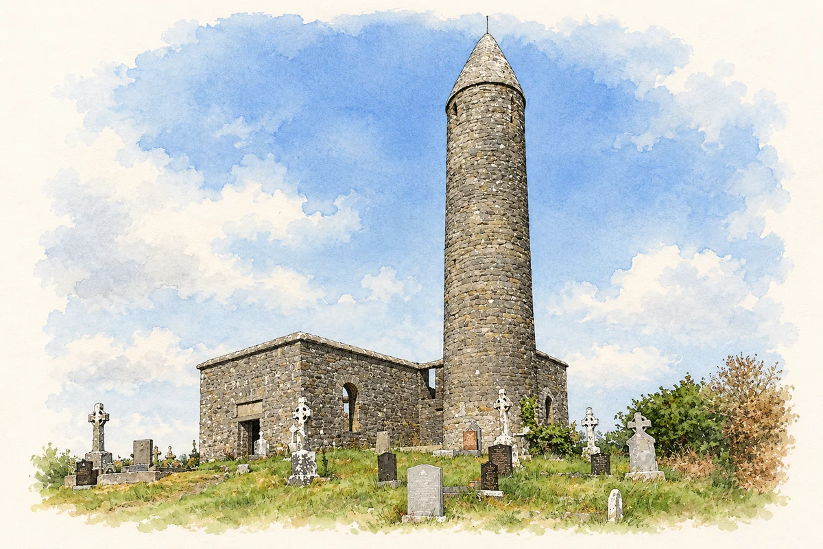
Turlough Round Tower, County Mayo illustration: based on a Turlough Round Tower and Church (20 June 2010) by Mike Searle. AI-assisted watercolour and ink adaptation; cream paper margins added, incidental clutter omitted and fine details simplified. Licence: CC BY-SA 2.0.
 placenames