 placenames
Kilmainhamwood
Cill Mhaighneann
A cattle fair, small industries and a former railway station mark successive chapters of Kilmainhamwood’s history.
The name
These Irish name elements are associated with this record in the Logainm glossary.
An element’s translation is a clue, rather than a complete explanation of the name. Its form and meaning depend on local history and the full Irish name.
Recorded forms
- Cill Mhaighneann · Irish · main form · validated name
- Kilmainhamwood · English · main form
Place & story
A small village with a cattle fair
Samuel Lewis described Kilmainhamwood in 1837 as a village of twenty-five houses with a constabulary station and dispensary. Its cattle fair took place on 5 May. The surrounding parish supported building-stone quarries, a corn mill and a tuck mill, where cloth was treated, as well as looms used by local households. His account distinguishes the small village population from the much larger community living across the parish. [2]
The station and the gypsum trains
The railway reached Kilmainhamwood in 1872 before extending to Kingscourt in 1875. The station had a single platform, a brick passenger building and a stone goods store. Passenger services ended in 1947, but gypsum traffic kept the branch working until 2001. The railway photographer’s account preserved by Eiretrains records this contrast between a closed passenger station and a route that continued serving industry for another half-century. [3]
Another use for the railway corridor
The former railway gained a new public role with the Boynevalley to Lakelands Greenway, officially opened on 12 May 2024. The government’s opening announcement described a thirty-kilometre walking and cycling route between Navan and Kingscourt. It also recorded the opening of a new community centre in Kilmainhamwood during the same ministerial visit, linking the renewed transport corridor with investment in the village’s own shared facilities. [4]
Geographic information
- Place type
- Population centre
- County
- Meath
- Barony
- Kells Lower
- Civil parish
- Kilmainham
- Coordinates
- 53.84720, -6.80578
- Logainm ID
- 1414666 ↗
Sources & further reading
- Logainm.ie — Kilmainhamwood. Place names and geographic record, licensed under CC BY 4.0.
- Kilmainham-Wood, A Topographical Dictionary of Ireland,1837 · Samuel Lewis
- Kilmainham Wood railway station · Eiretrains, original railway photographic archive
- Ministers Humphreys and Chambers officially open Boynevalley to Lakelands Greenway,12May2024 · Department of Rural and Community Development
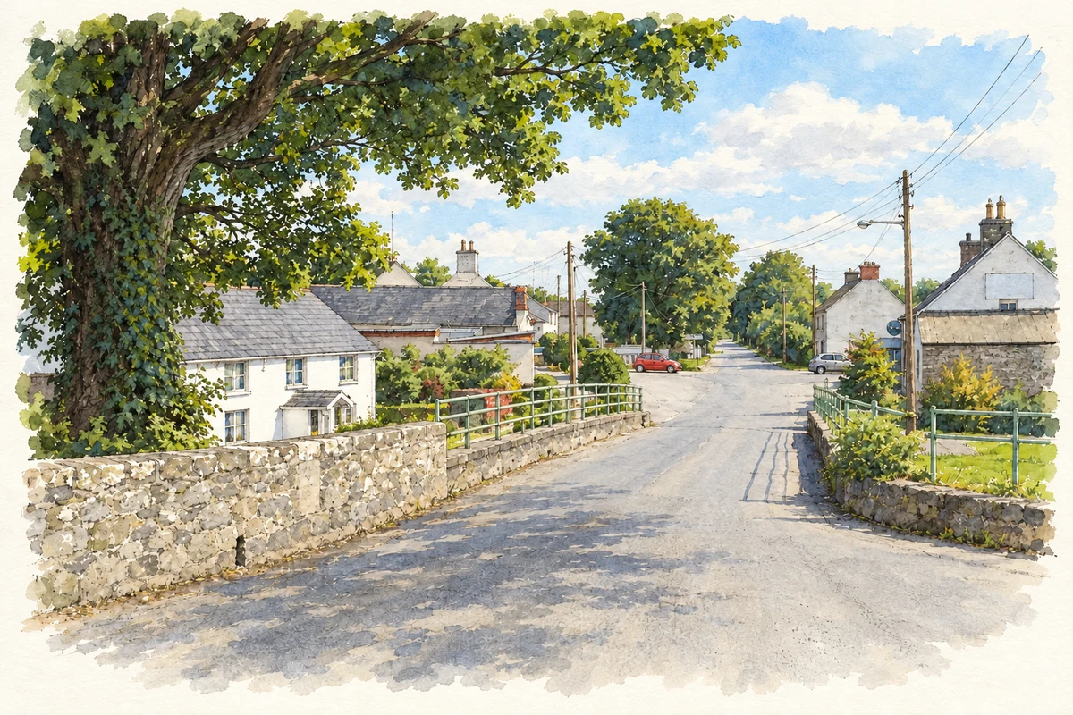
- Kilmainhamwood village from the river bridge, as photographed in 2005 illustration: based on a Kilmainhamwood, Co. Meath by Kieran Campbell. AI-assisted watercolour and ink adaptation; cream paper margins added, incidental clutter omitted and fine details simplified. Licence: CC BY-SA 2.0.
Name record retrieved 2026-10-25 · Source record modified 2025-01-10. How this page was prepared.