 placenames
Srah
An tSraith
The old bridge at Srah links its nineteenth-century landscape with later school history and commemoration of the Tourmakeady ambush.
The name
These Irish name elements are associated with this record in the Logainm glossary.
An element’s translation is a clue, rather than a complete explanation of the name. Its form and meaning depend on local history and the full Irish name.
Recorded forms
- An tSraith · Irish · main form · validated name
- Srah · English · main form
Place & story
The old two-arch bridge
Srah’s old road bridge was already in existence when the area was mapped in 1838. The inventory records a stone structure with two arches. An Ordnance Survey benchmark, now largely worn away, connects the structure with the work of measuring and mapping the country. The architectural inventory records the bridge as disused, preserving a trace of an earlier route through this part of Ballyovey. [2]
The school amalgamation
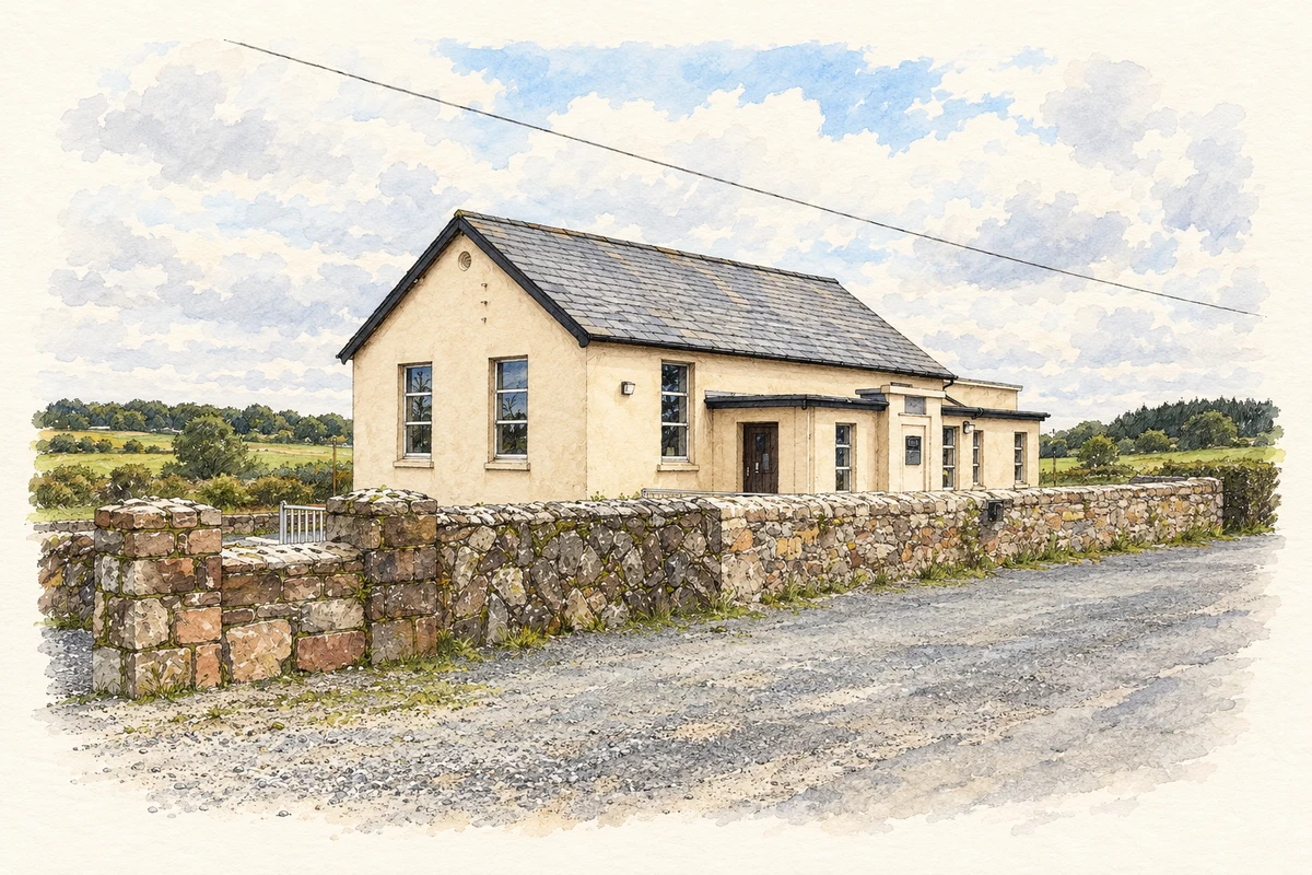
Srah National School closed in June 2007 and joined with Scoil Náisiúnta an Trian Láir to form Scoil Náisiúnta Tuar Mhic Éadaigh. The change drew attention to how children would travel from Srah to Tourmakeady. In a Dáil debate in April 2009, Beverley Flynn raised the school-bus arrangements, describing the local upper and lower roads and asking that the service better accommodate pupils from the former school. [3]
Remembrance at Srah Bridge
In May 2026 a monument at Srah Bridge commemorated volunteers involved in the Tourmakeady ambush of 3 May 1921. The local organising committee linked the memorial with volunteers from Srah and other parts of south Mayo, and with the support provided by Cumann na mBan. Its unveiling on the 105th anniversary added a new place of remembrance beside the village crossing. [4] [5]
Geographic information
Sources & further reading
- Logainm.ie — Srah. Place names and geographic record, licensed under CC BY 4.0.
- Srah Bridge, NIAH 31310914 · National Inventory of Architectural Heritage
- School Transport, Dáil debate, 1 April 2009, pages 395–396 · Houses of the Oireachtas
- Ambush Memorial at Srah Tourmakeady, April 2026 · Tomás Ó hÉanacháin, Coiste Luíochan Thuar Mhic Éadaigh
- Monument unveiled on the 105th anniversary, 5 May 2026 · Coiste Luíochan Thuar Mhic Éadaigh
- The former Srah National School, County Mayo, as photographed in July 2011 illustration: based on a National School - Srah by John M. AI-assisted watercolour and ink adaptation; cream paper margins added, incidental clutter omitted and fine details simplified. Licence: CC BY-SA 2.0.
Name record retrieved 2026-10-25 · Source record modified 2026-08-12. How this page was prepared.