 placenames
Grange
An Ghráinseach
Grange in the Slieveardagh Hills preserves traces of the Kilcooley estate in its village and wooded hillside.
The name
A reliable full-name meaning has not been established here. The recorded Irish and English forms are given without an unsupported translation.
Recorded forms
- An Ghráinseach · Irish · main form
- Grange · English · main form
Place & story
A settlement in the Kilcooley lands
Grange belonged to the historic parish of Kilcooley. William Nolan’s account of the Civil Survey of 1654 identifies it among the parish’s nine divisions and records a castle needing repair with cabins nearby. The survey distinguishes Grange from the abbey settlement itself, where it recorded a ruined abbey, mill and numerous cabins. These descriptions show separate inhabited centres within the same agricultural landscape. [2]
The hillside monument
Above the village, the Wellington Monument commemorates the British victory at Waterloo in 1815. Slieveardagh Rural Development dates its erection by Sir William Barker to 1817. Its unequal faces were intended to be seen from the west and from the Kilcooley house below. Forestry later concealed the structure; felling in the early 1990s exposed it again. The monument belongs to the designed scenery of the estate, as well as to the landscape encountered on the Grange walks. [3]
An estate’s food store and later walking routes
The wooded routes also pass an earth-covered icehouse used for preserving food for the Kilcooley estate. The local development group records a second function at the building: a water filtration system connected to the house by a cast-iron pipe. Volunteers from Grange Development Group developed the two linked walks, with Fáilte Ireland funding construction and rural social scheme workers contributing labour. Their routes bring former estate structures into a shared local amenity. [3]
Geographic information
- Place type
- Population centre
- County
- Tipperary
- Barony
- Slievardagh
- Barony
- Eliogarty
- Civil parish
- Kilcooly
- Civil parish
- Kilcooly
- Within
- Grangecastle
- Within
- Grangehill
- Coordinates
- 52.65696, -7.54740
- Logainm ID
- 1416206 ↗
Sources & further reading
- Logainm.ie — Grange. Place names and geographic record, licensed under CC BY 4.0.
- Glengoole–New Birmingham and the parishes 1600–1900 · William Nolan
- Grange Village and Walks · Slieveardagh Rural Development
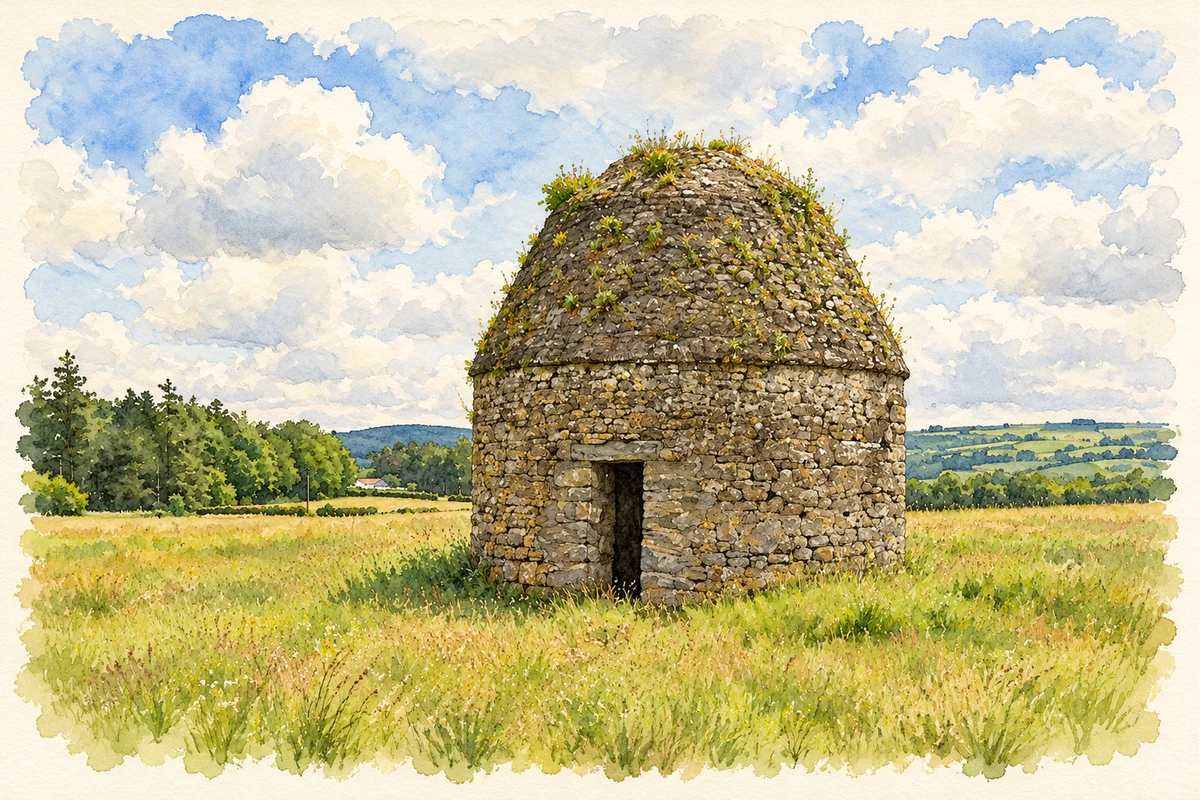
- Kilcooley dovecote near Grange, County Tipperary illustration: based on a Kilcooley Abbey - the dovecote (2) by Mike Searle. AI-assisted watercolour and ink adaptation; cream paper margins added, incidental clutter omitted and fine details simplified. Licence: CC BY-SA 2.0.

Name record retrieved 2026-10-25 · Source record modified 2026-08-12. How this page was prepared.