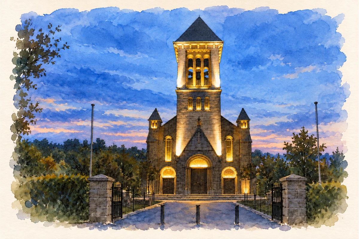
Carragh’s hilltop church brings together modern construction, stained glass and parish customs, while the stone bridge marks an older route across the Liffey.
Illustration, Church of Our Lady and Saint Joseph, Caragh
⊕Recorded locationCarragh53.23629° N · 6.73102° WInteractive map supplied by OpenStreetMap.
A reliable full-name meaning has not been established here. The recorded Irish and English forms are given without an unsupported translation.
Recorded forms
Ceárach· Irish · main form · validated name
Carragh· English · main form
Place & story
A new church for a changing parish
The Church of Our Lady and Saint Joseph was built between 1958 and 1960. Architect Charles Powell and builder Andrew Cross also worked on the new churches at Allenwood and Rathangan. Liam Kenny's account for Kildare Local Studies places this building programme alongside population growth associated with Bord na Móna, the ESB and earlier Land Commission settlement. At Carragh, parish priest Jeremiah Bennett gathered support for the project. Concrete construction allowed the prominent new church to rise on its hilltop site, giving the parish a conspicuous landmark during a period of local change.[2]
Folklore & tradition
Stained glass and donated wedding dresses
The church's large windows came from the Harry Clarke Stained Glass studios, while Christopher O'Neill supplied the marble interior. Kenny also records a custom described in the 1960 opening booklet: two nieces of the parish priest donated their wedding dresses for lace vestments and a tabernacle veil. The booklet presented the gifts as a revival of an older local practice. This is a specifically recorded parish tradition, linking family celebrations with church furnishings. The attribution to the studios should also be distinguished from a claim that Harry Clarke personally made these later windows.[2]
Six arches over the river
Carragh Bridge crosses the Liffey at Gingerstown. The National Inventory of Architectural Heritage dates its present stone structure to around 1840 and describes six round arches, triangular cutwaters and carefully dressed stone around the openings. Rubble masonry forms the walls and parapets. The bridge belongs to the nineteenth-century improvement of road transport through Kildare, where river crossings were essential links between neighbouring settlements. Its low sequence of arches offers a different scale of landmark from the church above the village: one follows the river level, while the other announces itself across the surrounding countryside.[3]
Both counts use the 2016 settlement boundary, allowing like-for-like comparison. CSO supplies the 2022 count on this older boundary for comparison only. The official 2022 Built Up Area has different boundaries.
View population figures
Carragh — Census 2016 settlement footprint — census population
These are the historical areas published in the 2006 census report. Boundaries may differ between censuses and from modern settlements. Legal towns, environs and suburbs are shown separately; none has been combined into a modern settlement total.
View population figures
Carragh, Kildare — Census town, CSO 2006 report — census population
These figures use different area definitions. Read the boundary note before comparing them.
Carragh, Kildare
Published census settlement populations
966people · 2016
Settlement boundaries changed during this period. Differences may reflect boundary changes as well as population change. Where a 2011 legal-town-and-environs count is shown, it has not been recalculated onto the 2016 settlement boundary.
 placenames