These Irish name elements are associated with this record in the Logainm glossary.
An element’s translation is a clue, rather than a complete explanation of the name. Its form and meaning depend on local history and the full Irish name.
Recorded forms
Díseart Diarmada· Irish · main form · validated name
Castledermot· English · main form
Place & story
The monastery's surviving stones
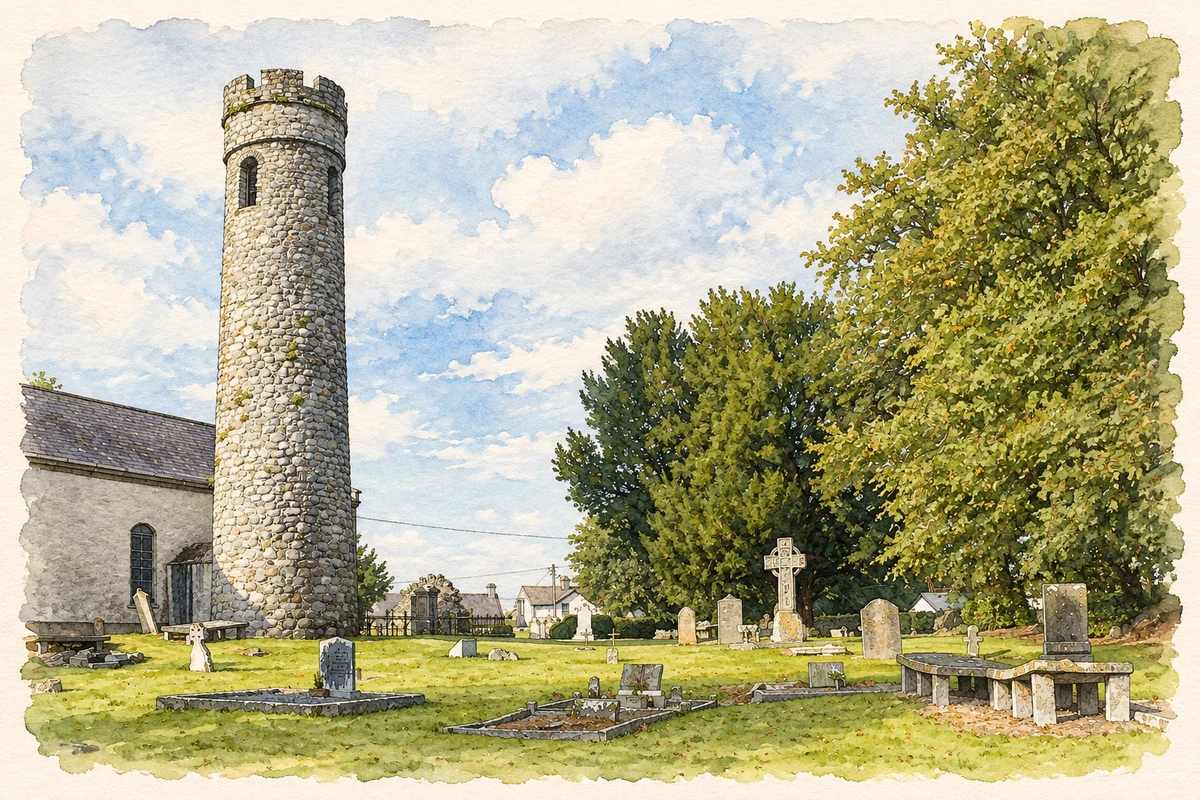
Castledermot's monastic settlement was established by the ninth century and associated with St Diarmuid. Its surviving monuments include cross-inscribed slabs, high crosses, architectural fragments and the round tower beside St James's Church. The church incorporates a Romanesque doorway and later medieval work within a building reconstructed in the seventeenth century. Carved stones gathered around it preserve several periods of activity on the same religious site.[2]
A tower with a ground-level door
The granite round tower differs from many Irish examples in having its entrance at ground level. Standing north of the church, it is about twenty metres tall. Later alterations changed its internal floor levels and windows, while battlements replaced the familiar pointed cap associated with other round towers. The nearby high crosses carry biblical scenes and patterned ornament, including representations of Isaac's binding and of Adam and Eve. Their carved surfaces reward close examination beside the much taller tower.[2]
People & connections
Helen Roe examines a discovery
In 1967 an unusual elongated stone emerged during tidying in St James's churchyard. Antiquarian Helen M. Roe examined it with a Board of Works official and praised rector W. H. H. Warburton for having it raised and supported. It proved to be a hogback monument, a form associated with Scandinavian-influenced communities in Britain. Warburton included it in his 1968 churchyard guide; a more detailed scholarly study followed in 1971. The discovery added an exceptional monument to an already remarkable collection of stones.[3]
Both counts use the 2016 settlement boundary, allowing like-for-like comparison. CSO supplies the 2022 count on this older boundary for comparison only. The official 2022 Built Up Area has different boundaries.
View population figures
Castledermot — Census 2016 settlement footprint — census population
Castledermot, Kildare — Census town, CSO 2006 report
2002–2006: census town
887people · 2006
These are the historical areas published in the 2006 census report. Boundaries may differ between censuses and from modern settlements. Legal towns, environs and suburbs are shown separately; none has been combined into a modern settlement total.
View population figures
Castledermot, Kildare — Census town, CSO 2006 report — census population
Castledermot, Kildare — Census town, CSO 1996 report
1991–1996: census town
733people · 1996
These are the historical areas published in the 1996 census report. Boundaries may differ between censuses and from modern settlements. Legal towns, environs and suburbs are shown separately; none has been combined into a modern settlement total.
View population figures
Castledermot, Kildare — Census town, CSO 1996 report — census population
Castledermot, Kildare — Census town, CSO 1986 report
1981–1986: census town
792people · 1986
Figures cover the historical town area printed in the 1986 report. Boundaries may have changed between censuses. Legal town, environs and suburb totals remain separate and differ from modern settlement boundaries.
View population figures
Castledermot, Kildare — Census town, CSO 1986 report — census population
These figures use different area definitions. Read the boundary note before comparing them.
Castledermot, Kildare
Published census settlement populations
1,475people · 2016
Settlement boundaries changed during this period. Differences may reflect boundary changes as well as population change. Where a 2011 legal-town-and-environs count is shown, it has not been recalculated onto the 2016 settlement boundary.
 placenames