Falcarragh's cultural centre occupies a former police barracks, while the nearby Cloughaneely stone anchors a much older recorded legend of Balor and a stolen cow.
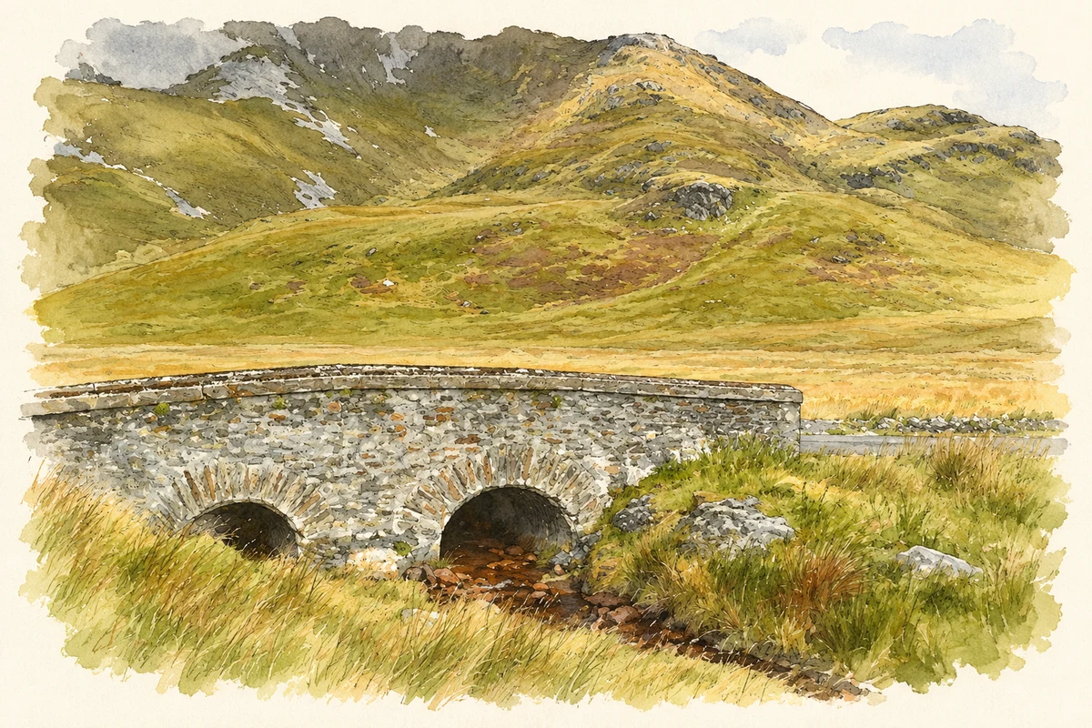
Illustration, Bridge of Tears at Muckish Gap, near Falcarragh
⊕Recorded locationFalcarragh55.13775° N · 8.10589° WInteractive map supplied by OpenStreetMap.
A reliable full-name meaning has not been established here. The recorded Irish and English forms are given without an unsupported translation.
Recorded forms
An Fál Carrach· Irish · main form · validated name
Falcarragh· English · main form
Place & story
A barracks becomes a heritage centre
An tSean Bheairic was built around 1890 as Falcarragh's constabulary barracks. Its slate roof, timber sash windows and red-brick surrounds gave a civic character to a building otherwise finished in roughcast. It later served the Gardaí before a replacement station was built beside it. Adaptation around 2000 created a heritage and visitor centre, with an addition behind the older block. The building's successive uses connect police administration with a later community effort to preserve and present the area's language, culture and history.[2]
Folklore & tradition
Balor, the cow and Cloughaneely's stone
George Henry Kinahan's 1887 account tells how Balor of Tory coveted MacKineely's extraordinary milk-cow. Disguised as a red-haired boy, Balor tricked the brother guarding her into abandoning his post and carried the animal away. With a fairy's help, MacKineely later reached Balor's secluded daughter Ethnea. One of their children survived Balor's attempt to drown the infants and was raised by the smith Gavida. Balor discovered MacKineely's identity, seized him on the mainland and beheaded him on the stone called Cloughaneely. The story explained the stone's red streaks as his blood. Years later, the surviving grandson heard Balor boast of the killing and struck him through the dangerous eye with a heated iron. Kinahan's version ties the regional tale directly to Ballyconnell, the stone and the forge near Falcarragh.[3]
Irish language in community life
The former barracks now supports Irish classes, traditional music, dancing, storytelling and exhibitions. Its own programme places the language at the centre of its work, alongside a display explaining the building and the surrounding district. An Irish-language book selection and locally made crafts add other ways for people to encounter the area's cultural life. These activities give the reused building a continuing community role: the old barracks is both a place to learn about Cloughaneely and a setting in which its language and creative traditions are practised.[4]
Both counts use the 2016 settlement boundary, allowing like-for-like comparison. CSO supplies the 2022 count on this older boundary for comparison only. The official 2022 Built Up Area has different boundaries.
View population figures
An Fál Carrach — Census 2016 settlement footprint — census population
An Fál Carrach, Donegal — Census town, CSO 2006 report
2002–2006: census town
842people · 2006
These are the historical areas published in the 2006 census report. Boundaries may differ between censuses and from modern settlements. Legal towns, environs and suburbs are shown separately; none has been combined into a modern settlement total.
View population figures
An Fál Carrach, Donegal — Census town, CSO 2006 report — census population
An Fál Carrach, Donegal — Census town, CSO 1996 report
1991–1996: census town
961people · 1996
These are the historical areas published in the 1996 census report. Boundaries may differ between censuses and from modern settlements. Legal towns, environs and suburbs are shown separately; none has been combined into a modern settlement total.
View population figures
An Fál Carrach, Donegal — Census town, CSO 1996 report — census population
Figures cover the historical town area printed in the 1986 report. Boundaries may have changed between censuses. Legal town, environs and suburb totals remain separate and differ from modern settlement boundaries.
View population figures
Falcarragh (or Cross Roads), Donegal — Census town, CSO 1986 report — census population
These figures use different area definitions. Read the boundary note before comparing them.
An Fál Carrach, Donegal
Published census settlement populations
764people · 2016
Settlement boundaries changed during this period. Differences may reflect boundary changes as well as population change. Where a 2011 legal-town-and-environs count is shown, it has not been recalculated onto the 2016 settlement boundary.
 placenames