The Vartry reservoirs transformed Roundwood's surrounding valley into a major water-supply landscape, built through nineteenth-century engineering and expanded after independence.
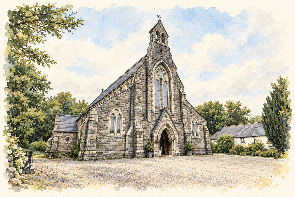
Illustration, Church of Saint Laurence O'Toole, Roundwood
⊕Recorded locationRoundwood53.06438° N · 6.22578° WInteractive map supplied by OpenStreetMap.
These Irish name elements are associated with this record in the Logainm glossary.
An element’s translation is a clue, rather than a complete explanation of the name. Its form and meaning depend on local history and the full Irish name.
Recorded forms
An Tóchar· Irish · main form · validated name
Roundwood· English · main form
Place & story
The valley becomes a waterworks
Dublin Corporation developed the Vartry water-supply scheme in the 1860s. Around Roundwood, dams and reservoirs impounded river water for treatment and transport towards Dublin. The system included filter beds, a tunnel about four kilometres long beneath Callowhill and a long trunk-main route to storage at Stillorgan. Much of the original earthwork was achieved with hand tools, horses and carts. Uisce Éireann's account places the project within the improvement of urban sanitation, when a dependable clean water supply became an increasingly urgent concern for the growing city.[2]
People & connections
The engineers behind the scheme
Engineer Richard Hassard proposed the Vartry as a source for Dublin's water in the 1850s. Parke Neville became closely associated with the scheme's development, while John McNeill acted as consulting engineer. The Irish Architectural Archive records the laying of the first stone on 10 November 1862 and completion in 1868. These dates distinguish the construction programme from the several later milestones in the reservoir system's history. The work connected a rural Wicklow catchment with metropolitan demand through dams, treatment works, tunnelling and a substantial pipeline.[3]
The upper reservoir opens in 1923
A further reservoir was formally opened at Roundwood on 20 June 1923. Planning had begun in 1903, and excavation was largely complete by 1912. Michael Staines, chair of Dublin Corporation's Municipal Waterworks Committee, performed the opening duties. The new storage was designed by R. O'Sullivan under resident engineer F. M. Webb and cost a reported £250,000. This second major phase extended the original Vartry scheme after a long construction interval, reinforcing Roundwood's place in the water supply of Dublin and the surrounding region.[4]
Both counts use the 2016 settlement boundary, allowing like-for-like comparison. CSO supplies the 2022 count on this older boundary for comparison only. The official 2022 Built Up Area has different boundaries.
View population figures
Roundwood — Census 2016 settlement footprint — census population
These are the historical areas published in the 2006 census report. Boundaries may differ between censuses and from modern settlements. Legal towns, environs and suburbs are shown separately; none has been combined into a modern settlement total.
View population figures
Roundwood, Wicklow — Census town, CSO 2006 report — census population
These are the historical areas published in the 1996 census report. Boundaries may differ between censuses and from modern settlements. Legal towns, environs and suburbs are shown separately; none has been combined into a modern settlement total.
View population figures
Roundwood, Wicklow — Census town, CSO 1996 report — census population
Figures cover the historical town area printed in the 1986 report. Boundaries may have changed between censuses. Legal town, environs and suburb totals remain separate and differ from modern settlement boundaries.
View population figures
Roundwood, Wicklow — Census town, CSO 1986 report — census population
These figures use different area definitions. Read the boundary note before comparing them.
Roundwood, Wicklow
Published census settlement populations
948people · 2016
Settlement boundaries changed during this period. Differences may reflect boundary changes as well as population change. Where a 2011 legal-town-and-environs count is shown, it has not been recalculated onto the 2016 settlement boundary.
Church of Saint Laurence O'Toole, Roundwood illustration: based on a Roundwood - Church of St Laurence O'Toole - 20200918184112 by Jonjobaker. AI-assisted watercolour and ink adaptation; cream paper margins added, incidental clutter omitted and fine details simplified. Licence: CC BY-SA 4.0.
 placenames