Kilmeage preserves a distinctive nineteenth-century schoolhouse and the memory of an older church landscape, where archaeological investigation has tested local traditions.
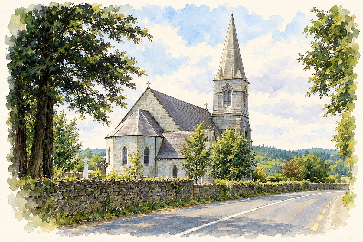
Illustration, Holy Trinity Church at Allen, near Kilmeage
⊕Recorded locationKilmeage53.24982° N · 6.84389° WInteractive map supplied by OpenStreetMap.
These Irish name elements are associated with this record in the Logainm glossary.
An element’s translation is a clue, rather than a complete explanation of the name. Its form and meaning depend on local history and the full Irish name.
Recorded forms
Cill Maodhóg· Irish · main form · validated name
Kilmeage· English · main form
Place & story
From a schoolroom to a Gothic schoolhouse
Kilmeage's former national school dates from 1891. Its small stone building combines a central pointed doorway with narrow windows framed in yellow brick, granite sills and timber glazing shaped into Gothic tracery. The National Inventory of Architectural Heritage traces its predecessor to a schoolroom and schoolmaster's residence on a plot at Ballintine conveyed in March 1829. That earlier school continued until the replacement opened. Renovation in 1989 adapted the later building to residential use. Its survival keeps the history of village education visible in the streetscape, even after its original classroom function ended.[2]
What the trenches found beside the church
Archaeologist Rosanne Meenan records that Kilmeage was laid out in the 1830s. Local tradition held that housebuilding had disturbed human remains south-west of the Church of Ireland church, and that its graveyard had once extended beyond the later boundary. Testing north-west of the church in 1999 opened ten trenches, four close to the graveyard. These revealed very few bone fragments and no burials or enclosing ditch. The result did not substantiate an extended burial ground within the tested area. It also illustrates why a remembered discovery elsewhere cannot establish the archaeological character of every neighbouring plot.[3]
A branch of the Universal Providing Stores
Kilmeague, as the name appears in Liam Kenny's account for Kildare Local Studies, was one of the branches of M. P. O'Brien's Universal Providing Stores. The business began with an Edenderry shop in 1855 and expanded to several places across Offaly and Kildare, including Allenwood and Moyvalley. The account does not give the Kilmeague branch's opening date. Its inclusion nevertheless connects the village with a wider nineteenth-century retail network: local households were customers of an enterprise whose name became familiar across the neighbouring counties.[4]
Both counts use the 2016 settlement boundary, allowing like-for-like comparison. CSO supplies the 2022 count on this older boundary for comparison only. The official 2022 Built Up Area has different boundaries.
View population figures
Kilmeage — Census 2016 settlement footprint — census population
These are the historical areas published in the 2006 census report. Boundaries may differ between censuses and from modern settlements. Legal towns, environs and suburbs are shown separately; none has been combined into a modern settlement total.
View population figures
Kilmeage, Kildare — Census town, CSO 2006 report — census population
These are the historical areas published in the 1996 census report. Boundaries may differ between censuses and from modern settlements. Legal towns, environs and suburbs are shown separately; none has been combined into a modern settlement total.
View population figures
Kilmeage, Kildare — Census town, CSO 1996 report — census population
Figures cover the historical town area printed in the 1986 report. Boundaries may have changed between censuses. Legal town, environs and suburb totals remain separate and differ from modern settlement boundaries.
View population figures
Kilmeage, Kildare — Census town, CSO 1986 report — census population
These figures use different area definitions. Read the boundary note before comparing them.
Kilmeage, Kildare
Published census settlement populations
1,082people · 2016
Settlement boundaries changed during this period. Differences may reflect boundary changes as well as population change. Where a 2011 legal-town-and-environs count is shown, it has not been recalculated onto the 2016 settlement boundary.
 placenames