These Irish name elements are associated with this record in the Logainm glossary.
An element’s translation is a clue, rather than a complete explanation of the name. Its form and meaning depend on local history and the full Irish name.
Recorded forms
Cill Rois· Irish · main form · validated name
Kilrush· English · main form
Place & story
Steamers, oysters and the Shannon
Kilrush’s position on the northern shore of the Shannon estuary made it a port for agricultural produce and passengers. In 1837 Samuel Lewis described trade in corn, butter, cattle and pigs, as well as fishing and oyster dredging by about twenty small hookers. Steamers connected Kilrush with Limerick; passengers bound for the bathing resort of Kilkee could transfer to public cars waiting at the pier. A salt refinery, tannery, soap works and nail manufactory added other occupations to the town’s maritime economy.[2]
People & connections
The Vandeleur estate
Lewis credited the Vandeleurs with the market house and other improvements, and described Crofton Moore Vandeleur’s Kilrush House beside the town. The estate’s landscape remains legible in the woodland and walled garden. Coillte records that the demesne was laid out during the lifetime of Crofton Vandeleur, who died in 1795, and that some old broadleaf trees survive from family planting. The Department of Agriculture acquired the property for forestry in 1920; the remains of the house were demolished in 1973. Woodland and garden now preserve much of the estate’s visible presence.[2][3]
Folklore & tradition
Senan and the monster offshore
Scattery Island lies offshore from Kilrush and is the setting for a long tradition about St Senan and the Cathach. Writing in Folk-Lore in 1913, Thomas Johnson Westropp recorded how people along the Shannon told of Senan chaining the monster and casting it into Doolough near Mount Callan. In storms, the creature was said to make the lake boil. Westropp also recalled hearing stories about Senan from fishermen and donkey boys in 1868 and 1872. The legend belongs to the wider estuary landscape, with Scattery as its principal island setting.[4]
Both counts use the 2016 settlement boundary, allowing like-for-like comparison. CSO supplies the 2022 count on this older boundary for comparison only. The official 2022 Built Up Area has different boundaries.
View population figures
Kilrush — Census 2016 settlement footprint — census population
These are the historical areas published in the 2006 census report. Boundaries may differ between censuses and from modern settlements. Legal towns, environs and suburbs are shown separately; none has been combined into a modern settlement total.
View population figures
Kilrush Legal Town, Clare — Legal town, CSO 2006 report — census population
Kilrush Environs, Clare — Town environs only, CSO 2006 report
2002–2006: town environs only
37people · 2006
These are the historical areas published in the 2006 census report. Boundaries may differ between censuses and from modern settlements. Legal towns, environs and suburbs are shown separately; none has been combined into a modern settlement total.
View population figures
Kilrush Environs, Clare — Town environs only, CSO 2006 report — census population
These are the historical areas published in the 1996 census report. Boundaries may differ between censuses and from modern settlements. Legal towns, environs and suburbs are shown separately; none has been combined into a modern settlement total.
View population figures
Kilrush Legal Town, Clare — Legal town, CSO 1996 report — census population
Figures cover the historical town area printed in the 1986 report. Boundaries may have changed between censuses. Legal town, environs and suburb totals remain separate and differ from modern settlement boundaries.
View population figures
Kilrush, Clare — Legal town, CSO 1986 report — census population
These figures use different area definitions. Read the boundary note before comparing them.
Kilrush, Clare — 2011 legal town and environs; 2016 census settlement
Published census settlement populations
2,719people · 2016
Settlement boundaries changed during this period. Differences may reflect boundary changes as well as population change. Where a 2011 legal-town-and-environs count is shown, it has not been recalculated onto the 2016 settlement boundary.
View population figures
Kilrush, Clare — 2011 legal town and environs; 2016 census settlement — census population
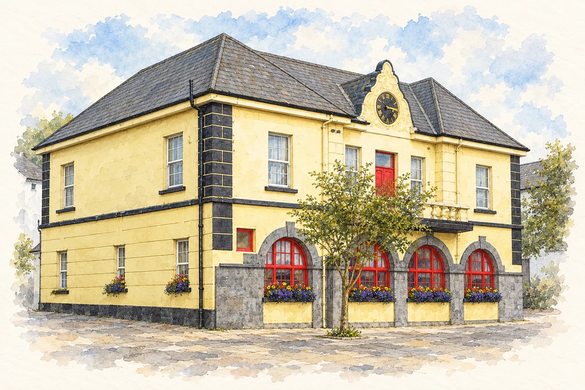
Kilrush Town Hall, County Clare illustration: based on a Kilrush Town Hall by Gordon Hatton. AI-assisted watercolour and ink adaptation; cream paper margins added, incidental clutter omitted and fine details simplified. Licence: CC BY-SA 2.0.
 placenames