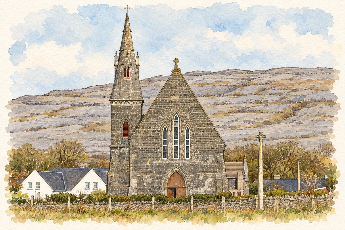
The harbour village commonly written Ballyvaughan grew through coastal trade; its later history includes a restored tower house at the Burren College of Art.
Illustration, St John the Baptist's Church, Ballyvaughan
⊕Recorded locationBallyvaghan53.11647° N · 9.14853° WInteractive map supplied by OpenStreetMap.
These Irish name elements are associated with this record in the Logainm glossary.
An element’s translation is a clue, rather than a complete explanation of the name. Its form and meaning depend on local history and the full Irish name.
Recorded forms
Baile Uí Bheacháin· Irish · main form · validated name
Ballyvaghan· English · main form
Ballyvaughan· English · main form · local name
Place & story
A village sustained by its quays
Ballyvaughan's early nineteenth-century development depended on its waterfront. Inhabitants built small piers, but tidal flooding limited their usefulness, and the Fishery Board provided a new quay in 1829. Herring fishing and the landing of Connemara turf supported trade. By 1841 the village had 235 inhabitants in thirty-five houses. Supplies arrived from Galway, while grain, bacon and vegetables travelled outward. Improved roads later reduced the harbour's commercial importance.[2]
Water brought down from the hillside
A reservoir built by Lord Annaly in 1872 served farming land south-east of the village. The water supply was subsequently extended into Ballyvaughan, with gravity carrying water through cast-iron pipes. A village fountain followed in 1875. Clare Libraries records that the Coyne brothers, Connemara stonemasons stranded after their boat sank at Gleninagh pier, built it. Its plaques commemorate those involved in the scheme, making a practical improvement in public health visible in the streetscape.[2]
People & connections
Michael and Mary Greene’s restoration
Michael and Mary Greene acquired Newtown Castle in 1989, when the tower was roofless and its adjoining buildings in disrepair. Their restoration developed alongside plans for an international art college. A new oak roof was lifted onto the tower in June 1994, and President Mary Robinson opened the restored castle and Burren College of Art the following month. The sixteenth-century tower, outside the village itself, thus gained an educational and artistic role through the work of local owners.[3]
Both counts use the 2016 settlement boundary, allowing like-for-like comparison. CSO supplies the 2022 count on this older boundary for comparison only. The official 2022 Built Up Area has different boundaries.
View population figures
Ballyvaughan — Census 2016 settlement footprint — census population
Ballyvaughan, Clare — Census town, CSO 2006 report
2002–2006: census town
224people · 2006
These are the historical areas published in the 2006 census report. Boundaries may differ between censuses and from modern settlements. Legal towns, environs and suburbs are shown separately; none has been combined into a modern settlement total.
View population figures
Ballyvaughan, Clare — Census town, CSO 2006 report — census population
Ballyvaughan, Clare — Census town, CSO 1996 report
1991–1996: census town
257people · 1996
These are the historical areas published in the 1996 census report. Boundaries may differ between censuses and from modern settlements. Legal towns, environs and suburbs are shown separately; none has been combined into a modern settlement total.
View population figures
Ballyvaughan, Clare — Census town, CSO 1996 report — census population
Ballyvaughan, Clare — Census town, CSO 1986 report
1981–1986: census town
182people · 1986
Figures cover the historical town area printed in the 1986 report. Boundaries may have changed between censuses. Legal town, environs and suburb totals remain separate and differ from modern settlement boundaries.
View population figures
Ballyvaughan, Clare — Census town, CSO 1986 report — census population
These figures use different area definitions. Read the boundary note before comparing them.
Ballyvaughan, Clare
Published census settlement populations
191people · 2016
Settlement boundaries changed during this period. Differences may reflect boundary changes as well as population change. Where a 2011 legal-town-and-environs count is shown, it has not been recalculated onto the 2016 settlement boundary.
 placenames